Harden-Murrumburrah
Contenu soumis à la licence CC-BY-SA. Source : Article Harden-Murrumburrah de Wikipédia en français (auteurs)
Regardez d'autres dictionnaires:
Harden, New South Wales — Infobox Australian Place | type = town name = Harden state = nsw caption = lga = Harden Shire postcode = 2587 est = pop = 1,996 (2006)Census 2006 AUS|id=UCL157400|name=Murrumburrah (Harden) (Urban Centre/Locality)|accessdate=2008 03 22|quick=on]… … Wikipedia
Murrumburrah, New South Wales — Murrumburrah New South Wales … Wikipedia
Murrumburrah railway station — Murrumburrah was a railway station on the Main South railway line in New South Wales, Australia. The station opened in 1879[1] and closed to passenger services in 1976. It was subsequently demolished and little trace remains. Preceding station … Wikipedia
Harden Shire — Shire of Harden Lage des Harden Shire in New South Wales Gliederung … Deutsch Wikipedia
Harden Shire Council — Infobox Australian Place | type = lga name = Harden Shire caption = Location in New South Wales state=New South Wales region=South West Slopes area=1869 cite web title=Harden Shire Council publisher = Department of Local Government url =… … Wikipedia
Harden — /ˈhadn/ (say hahdn) noun a town and shire in south eastern NSW near Cootamundra; adjacent to Murrumburrah, its twin town …
Comté de Harden — 34°33′S 148°22′E / 34.55, 148.367 … Wikipédia en Français
Group 9 Rugby League — Group 9 is a rugby league competition in New South Wales, Australia based around the surrounding areas of Wagga Wagga. It is run under the auspices of the Country Rugby League. The Competition is now played in four Grades, Under 16, known as the… … Wikipedia
Main Southern railway line, New South Wales — [v · New Binalong station on 1916 alignment Gauge: 1,435 mm (4 ft 8 1 … Wikipedia
Division of Hume — Hume Australian House of Representatives Division Division of Hume (green) within New South Wales Created: 1901 MP … Wikipedia
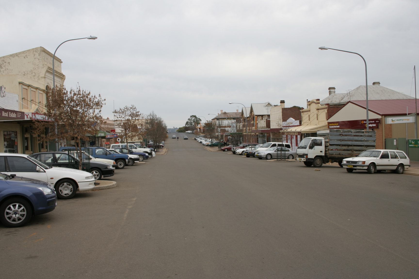
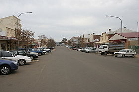 La grand rue de Harden
 Australie
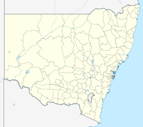
 Harden-Murrumburrah