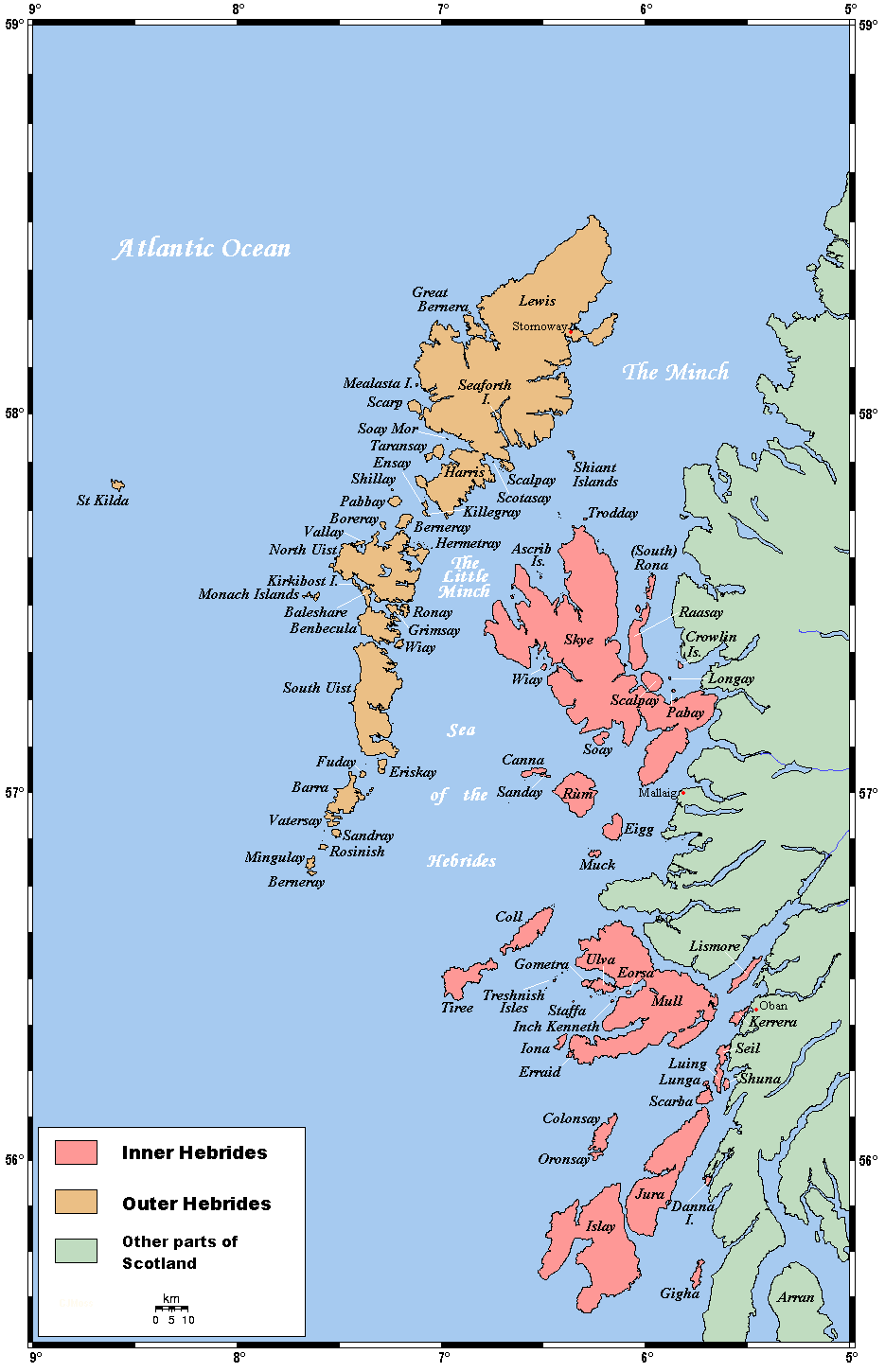
Great Bernera
Contenu soumis à la licence CC-BY-SA. Source : Article Great Bernera de Wikipédia en français (auteurs)
Regardez d'autres dictionnaires:
Great Bernera — Steinerne Hummerteiche auf Great Bernera Gewässer Nordatlantik Inselgr … Deutsch Wikipedia
Great Bernera — Infobox Scottish island | latitude=58.2 longitude= 6.85 GridReference=NB162344 celtic name=Bearnaraigh Mòr norse name=bjarnar øy meaning of name= Bjørn s island from Norse area= 2122 ha area rank= 34 highest elevation= 80 m Population=233… … Wikipedia
Great Bernera — La Isla de Great Bernera (o simplemente Bernera; en gaélico escocés Bearnaraigh Mòr) es un isla del archipiélago de las Hébridas Exteriores, en la costa occidental de Escocia. Coordenadas … Wikipedia Español
Bernera, Great and Little — BERNERA, GREAT and LITTLE, two islands, in the parish of Uig, island of Lewis, county of Ross and Cromarty. These islands are situated in Loch Roag, and off the western coast of the island of Lewis; the first is about twelve miles long and… … A Topographical dictionary of Scotland
Bernera Riot — The Bernera Riot occurred in 1872, on the island of Great Bernera, in Scotland in response to the Highland Clearances.LocationGreat Bernera (Bearnaraigh Mòr) is an island in Loch Roag, off the Isle of Lewis in the Outer Hebrides. It is fairly… … Wikipedia
Little Bernera — Infobox Scottish island | latitude=58.27 longitude= 6.87 GridReference=NB142410 celtic name=Bearnaraigh Beag norse name=bjarnar øy meaning of name= Bjørn s island , from Norse area=138 ha area rank= 130= highest elevation= 41 m Population=0… … Wikipedia
Eilean Siar — Western Isles Na h Eileanan Siar Verwaltungssitz Stornoway Fläche 3.071 km² (7.) … Deutsch Wikipedia
GB-ELS — Western Isles Na h Eileanan Siar Verwaltungssitz Stornoway Fläche 3.071 km² (7.) … Deutsch Wikipedia
Western Isles — Na h Eileanan Siar Verwaltungssitz Stornoway Fläche 3.071 km² (7.) … Deutsch Wikipedia
History of the Outer Hebrides — The Hebrides were settled early on in the settlement of the British Isles, perhaps as early as the Mesolithic era, around 8500 8250 BC, after the climatic conditions improved enough to sustain human settlement. There are examples of structures… … Wikipedia
 Royaume-Uni
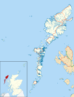
 Great Bernera