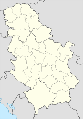
Graovo
- Graovo
-
Graovo (en serbe cyrillique : Граово) est un village de Serbie situé sur le territoire de la Ville de Leskovac, district de Jablanica. En 2002, il comptait 277 habitants[1], tous serbes[2].
Démographie
Évolution démographique
| 1948 |
1953 |
1961 |
1971 |
1981 |
1991 |
2002 |
| 713 |
727 |
666 |
559 |
430 |
356 |
277[1] |
Notes et références
- ↑ a et b (sr) Livre 9, Population, analyse comparative de la population en 1948, 1953, 1961, 1971, 1981, 1991 et 2002, données par localités, Institut de statistique de la République de Serbie, Belgrade, mai 2004 (ISBN 86-84433-14-9)
- ↑ (sr) Livre 1, Population, origine nationale ou ethnique, données par localités, Institut de statistique de la République de Serbie, Belgrade, février 2003 (ISBN 86-84433-00-9)
Voir aussi
Articles connexes
Liens externes
Wikimedia Foundation.
2010.
Contenu soumis à la licence CC-BY-SA. Source : Article Graovo de Wikipédia en français (auteurs)
Regardez d'autres dictionnaires:
Leskovac — Pour les articles homonymes, voir Leskovac (homonymie). Leskovac Лесковац … Wikipédia en Français
Deception Island — This article is about the island in Antarctica. For the island in Washington State, see Deception Pass … Wikipedia
Leskovac — Лесковац City Panoramic view of Leskovac from the Hisar Hills … Wikipedia
Clarence Island (South Shetland Islands) — For other uses, see Clarence Island (disambiguation). Clarence Island Location of Clarence Island Location of Clarence Island Geog … Wikipedia
Cornwallis Island (South Shetland Islands) — Cornwallis Island A map of the South Shetland Islands, Cornwallis is upper right Location of Cornwallis Island Geography … Wikipedia
Nelson Island (South Shetland Islands) — Nelson Island Location of Nelson Island Geography Location Antarctica Coordinates … Wikipedia
Desolation Island (South Shetland Islands) — Desolation Island Desolation Island and Blythe Bay from Vidin Heights, Livingston Island. Location of Desolation Island in the South Shetland Islands … Wikipedia
Ficheto Point — Channel Rock from Miziya Peak, with Meade Islands in the background; Ficheto Point is on the left and Pomorie Point on the right … Wikipedia
Miladinovi Islets — (on the left) from Zemen Knoll Location of Desolation Island in the South Shetland Islands … Wikipedia
List of cities, towns and villages in Serbia — This is the complete list of settlements in Serbia without Kosovo, as recorded by 2002 census, sorted by municipalities. Settlements denoted as urban (towns and cities) are marked bold. Population for every settlement is given in brackets. The… … Wikipedia
 Serbie
