Golaghat
- Golaghat
-
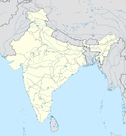
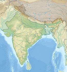
Golaghat est une ville de l’État d’Assam en Inde et le centre administratif du district de Golaghat.
Géographie
Cette section est vide, insuffisamment détaillée ou incomplète.
Votre aide est la bienvenue !
Économie
Cette section est vide, insuffisamment détaillée ou incomplète.
Votre aide est la bienvenue !
Histoire
Cette section est vide, insuffisamment détaillée ou incomplète.
Votre aide est la bienvenue !
Lieux et monuments
C’est la ville la plus proche du parc national de Kaziranga.
Wikimedia Foundation.
2010.
Contenu soumis à la licence CC-BY-SA. Source : Article Golaghat de Wikipédia en français (auteurs)
Regardez d'autres dictionnaires:
Golaghat — Localidad de la India … Wikipedia Español
Golaghat — Infobox Indian Jurisdiction native name = Golaghat | type = city | latd = 26.52 | longd = 93.97 locator position = left | state name = Assam district = Golaghat leader title = leader name = altitude = 95 population as of = 2001 population total … Wikipedia
Golaghat — Original name in latin Golght Name in other language Golaghat, Golght State code IN Continent/City Asia/Kolkata longitude 26.51166 latitude 93.95951 altitude 101 Population 34372 Date 2012 10 06 … Cities with a population over 1000 database
Golaghat — Admin ASC 2 Code Orig. name Golaghat Country and Admin Code IN.03.7627079 IN … World countries Adminstrative division ASC I-II
Golaghat district — Golaghat is an administrative district in the state of Assam in India. It attained district status in 1987. The district headquarters are located at Golaghat. The district occupies an area of 3502 km² and lies 100 m above sea level. As of 2001,… … Wikipedia
District de Golaghat — 26° 00′ N 93° 00′ E / 26, 93 … Wikipédia en Français
Kaziranga National Park — Infobox Indian Jurisdiction type = national park native name = Kaziranga National Park other name = as. কাজিৰঙা ৰাষ্ট্ৰীয় উদ্যান iucn category = II state name = Assam district= Golaghat, Nagaon nearest city = Golaghat latd=26 |latm=40 |lats=00… … Wikipedia
Barpathar — Infobox Indian Jurisdiction native name = Barpathar | type = city | latd = 26.3 | longd = 93.87 locator position = left | state name = Assam district = Golaghat leader title = leader name = altitude = 99 population as of = 2001 population total … Wikipedia
Robin Banerjee — (12 Aug 1908 06 Aug 2003) was a noted wildlife expert, environmentalist, painter, photographer and documentary filmmaker who lived at Golaghat in the Indian state of Assam.BiographyRobin Banerjee was born on 1908 08 12 at Baharampur in West… … Wikipedia
Karbi Anglong District — Karbi Anglong District District location in Assam Country … Wikipedia
 Inde
Inde


