Goeblange
Contenu soumis à la licence CC-BY-SA. Source : Article Goeblange de Wikipédia en français (auteurs)
Regardez d'autres dictionnaires:
Goeblange — ( lb. Giewel, de. Goeblingen) is a village in the commune of Koerich, in southern Luxembourg about 13 km west of Luxembourg City. As of 2005, the village has a population of 425.LocationGoeblange lies 321 m above sea level on the CR 109 from… … Wikipedia
Koerich — Infobox Luxembourg commune name = Koerich luxname = Käerch arms = Coat of arms koerich luxbrg.png LAU2 = 09007 canton = Capellen district = LuxembourgKoerich ( lb. Käerch) is a commune and village in western Luxembourg. It is part of the canton… … Wikipedia
Koerich — Wappen Karte Basisdaten Distrikt … Deutsch Wikipedia
Koerich — (lb) Käerch (de) Koerich … Wikipédia en Français
Titelberg — ( lb. Tëtelbierg) is the site of a large Celtic settlement or oppidum in the extreme south west of Luxembourg. In the 1st century BC, this thriving community was probably the capital of the Treveri people. The site thus provides telling evidence… … Wikipedia
Celtic Luxembourg — existed during the period from roughly 600 BC until 100 AD, when the Celts inhabited what is now the territory of the Grand Duchy of Luxembourg. Their culture was well developed, especially from the 1st century BC as can be seen from the remains… … Wikipedia
Nospelt — Nospelt: Centre of the village Nospelt (Luxembourgish: Nouspelt) is a village in the commune of Kehlen, in south western Luxembourg. As of 2005 … Wikipedia
Käerch — Wappen Karte Basisdaten Distrikt: Lu … Deutsch Wikipedia
Liste des localités du Grand-Duché de Luxembourg — Liste des localités luxembourgeoises par ordre alphabétique avec indication du nom luxembourgeois et des communes Sommaire : Haut A B C D E F G H I J K L M N O P Q R S T U V W X Y Z … Wikipédia en Français
Liste des localités du Grand-Duché du Luxembourg — Liste des localités du grand duché de Luxembourg Liste des localités luxembourgeoises par ordre alphabétique avec indication du nom luxembourgeois et des communes Sommaire : Haut A B C D E F G H I J K L M N O P Q R S T U V W X Y Z … Wikipédia en Français
 Goeblange
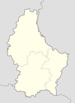

 Luxembourg