Glacier Mackay
Contenu soumis à la licence CC-BY-SA. Source : Article Glacier Mackay de Wikipédia en français (auteurs)
Regardez d'autres dictionnaires:
Mackay Trophy — The Mackay Trophy on display at the National Air and Space Museum in Washington, DC. The Mackay Trophy was established on 27 January 1911 by Clarence Hungerford Mackay, who was then head of the Postal Telegraph Cable Company and the Commercial… … Wikipedia
Cone Glacier Volcano — is a cinder cone in the Boundary Ranges of the Coast Mountains in northwestern British Columbia, Canada. It is part of the Iskut Unuk River Cones group and last erupted during the Holocene period.[1] Cone Glacier contains two arms that surround… … Wikipedia
Peshtera Glacier — The Peshtera Glacier (Bulgarian Lednik Peshtera ) is a glacier situated on the Rozhen Peninsula, Livingston Island in the South Shetland Islands, Antarctica. The head of the glacier is bounded by MacKay Peak (approx. 700 m) to the southwest and… … Wikipedia
New Glacier — (77°2′S 162°24′E / 77.033°S 162.4°E / 77.033; 162.4) is a small glacier flowing east northeast from the low ice covered plateau at the south side of Mackay Glacier, terminating at the southwest extremity of G … Wikipedia
Cleveland Glacier — (76°55′S 162°1′E / 76.917°S 162.017°E / 76.917; 162.017) is a glacier about 2 miles (3 km) wide which flows east southeast from Mount Morrison and … Wikipedia
Cycle Glacier — (77°12′S 160°10′E / 77.2°S 160.167°E / 77.2; 160.167) is a glacier, 6 km long and 2 km wide, flowing north from the polar plateau between Mount Dearborn and Robinson Pea … Wikipedia
Expedition Terra Nova — Expédition Terra Nova Pour les articles homonymes, voir Terra Nova. L équipe de l expédition au pôle Sud, le 18 janvier 1912. Debout� … Wikipédia en Français
Expédition Terra Nova — Pour les articles homonymes, voir Terra Nova. L équipe de l expédition au pôle Sud, le 18 janvier 1912. Debout : Lawrence Oates, Robert Fal … Wikipédia en Français
Expédition terra nova — Pour les articles homonymes, voir Terra Nova. L équipe de l expédition au pôle Sud, le 18 janvier 1912. Debout� … Wikipédia en Français
Nimrod Expedition — Jameson Adams, Frank Wild and Eric Marshall (from left to right) plant the Union jack at their southernmost position, 88° 23′, on 9 January 1909. The photograph was taken by expedition leader Ernest Shackleton. The British Antarctic… … Wikipedia
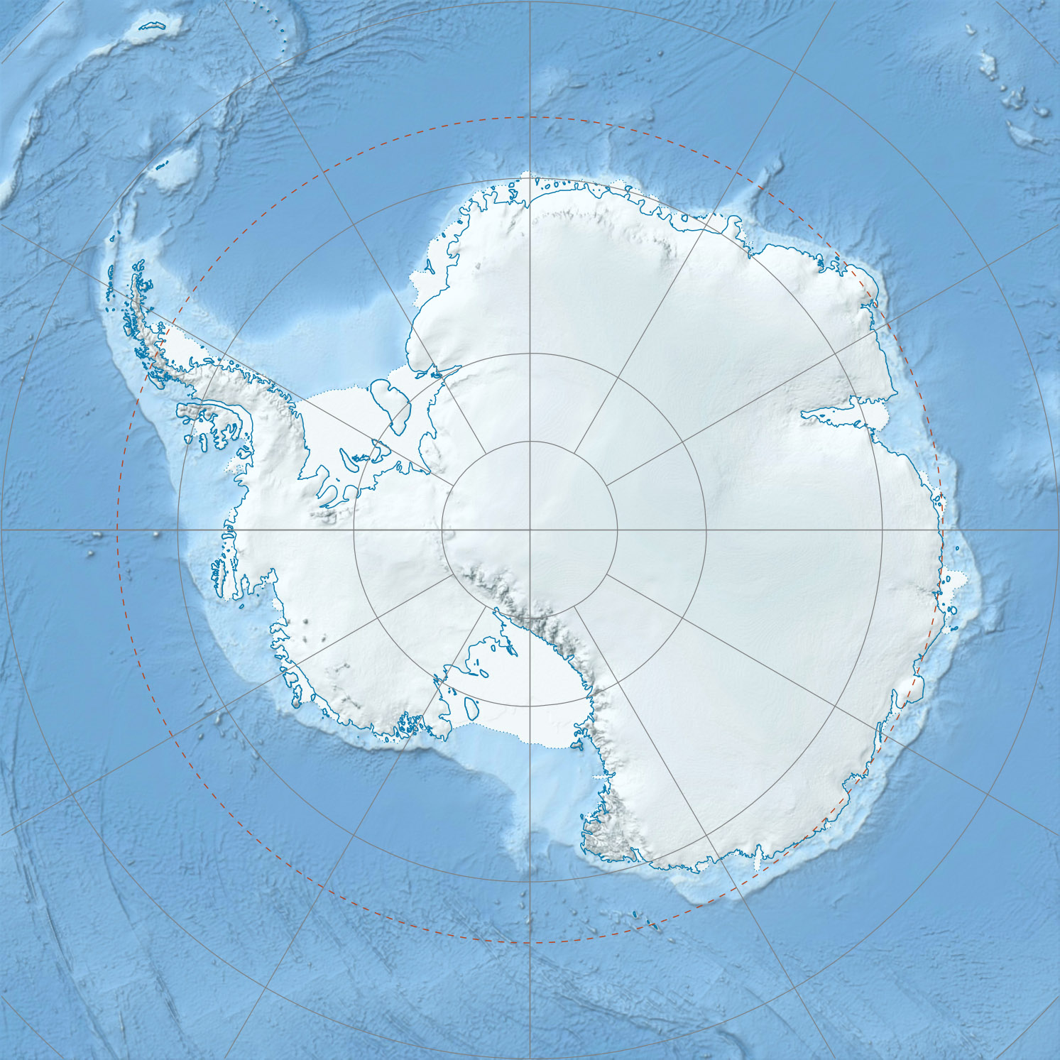
 Antarctique