District De Tain
- District De Tain
-
District de Tain
| Tain |
| Pays |
Ghana |
| Région |
Brong Ahafo |
| Catégorie de District |
Ordinaire |
| Gouverneur |
Jones Samuel Tawiah |
| Capitale |
Nsawkaw |
| Superficie |
1 487 km² |
| Population (2004) |
71 943 |
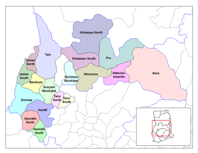
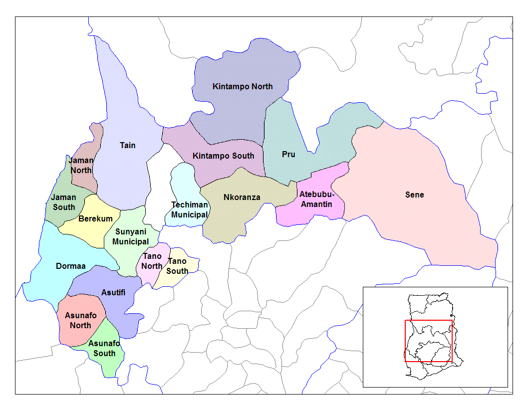
Les districts de la région de Brong Ahafo
Le district de Tain (officiellement Tain District, en Anglais) est l’un des 22 districts de la Région de Brong Ahafo au Ghana.
Ce district a été créé par scission du district de Wenchi municipalité suite à un décret du Président John Agyekum Kufuor le 12 novembre 2003.
Villes et villages du district
- Nsawkaw
- Badu
- Seikwa
- Debibi
- Brohani
|
- Brodi
- Banda Boase
- Menji
- Atomfoso
- Sabiye
|
- Mamasa
- Bonga
- Banda Ahenkro
- Kabronu
- Bui
|
Voir aussi
Sources
Catégorie : District du Ghana
Wikimedia Foundation.
2010.
Contenu soumis à la licence CC-BY-SA. Source : Article District De Tain de Wikipédia en français (auteurs)
Regardez d'autres dictionnaires:
District de tain — Tain Pays Ghana Région Brong Ahafo Catégorie de District Ordinaire Gouverneur Jones Samuel Tawiah … Wikipédia en Français
District de Tain — Tain Pays Ghana Région Brong Ahafo Catégorie de District Ordinaire Gouverneur Jones Samuel Tawiah Capitale … Wikipédia en Français
Tain & District Museum — Motto To preserve display the local history of the Tain area. Location Tain, Ross shire … Wikipedia
Tain District — Land Ghana Region Brong Ahafo Region … Deutsch Wikipedia
Tain — TAIN, a royal burgh, the county town, and a parish, in the county of Ross and Cromarty, 30½ miles (N. by E.) from Inverness, and 201 (N. by W.) from Edinburgh; containing, with the village of Inver, 3128 inhabitants, of whom 2287 are in the… … A Topographical dictionary of Scotland
Tain — ist der Name folgender geographischer Objekte: Tain (Schottland), Ort in Schottland Tain (Fluss), ein Fluss in Ghana Tain District, ein Distrikt in Ghana Tain l’Hermitage, eine Gemeinde im französischen Département Drôme Kanton Tain l’Hermitage… … Deutsch Wikipedia
Tain (disambiguation) — Tain is a town and royal burgh in the Highland council area of Scotland.Tain can also refer to: * Táin Bó Cúailnge , an ancient Irish mythological epic tale * Any of the lesser táins of ancient Irish literature * Tain Burghs (UK Parliament… … Wikipedia
Tain Burghs (UK Parliament constituency) — UK former constituency infobox Name = Tain Burghs Type = Burgh Year = 1708 Abolition = 1832 members = oneTain Burghs, was a constituency of the House of Commons of the Parliament of Great Britain from 1708 to 1801 and of the Parliament of the… … Wikipedia
Tain — infobox UK place country = Scotland official name= Tain gaelic name= Baile Dhubhthaich scots name= Tain population = 3,972 static map type=Scotland os grid reference= NH779821 latitude=57.81178 longitude= 4.05670 unitary scotland= Highland… … Wikipedia
District of burghs — The Act of Union 1707 and pre Union Scottish legislation provided for 14 Members of Parliament (MPs) from Scotland to be elected from districts of burghs. All the parliamentary burghs (burghs represented in the pre Union Parliament of Scotland)… … Wikipedia


 Portail de l’Afrique