Conor pass
- Conor pass
-
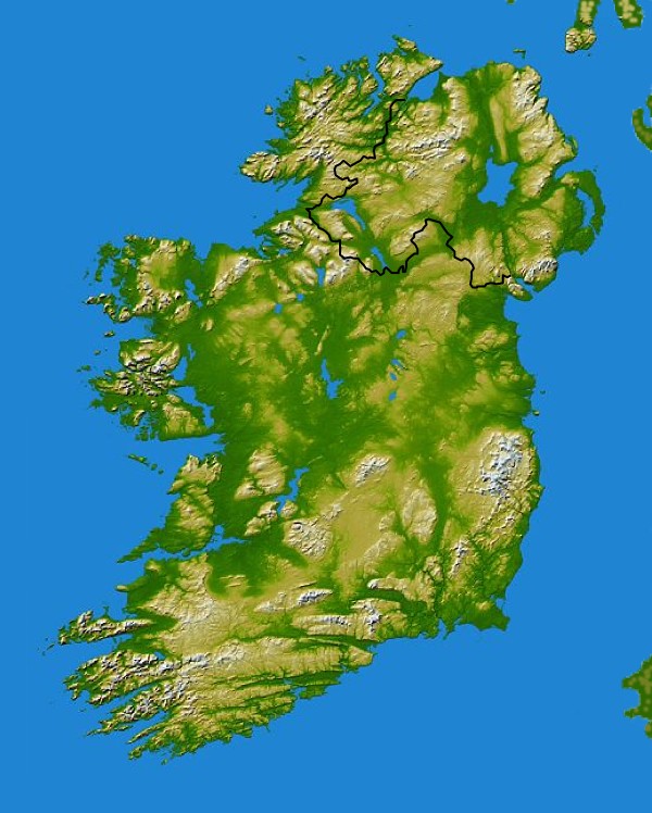
Conor Pass est un col de la péninsule de Dingle, dans le comté de Kerry en Irlande. Il relie la baie de Brandon à Dingle. C'est le plus haut col d'Irlande.
Description
Le col est situé entre les collines de Slievanea (674 m) et An Bhinn Dubh (532 m). La route est sinueuse et étroite, au bord de la falaise, longeant le flanc du Slievanea.
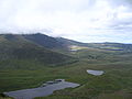
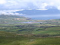
Galerie photos
-
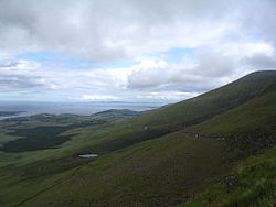
Au nord, la vallée An Ghoill Mhorr depuis le col
-
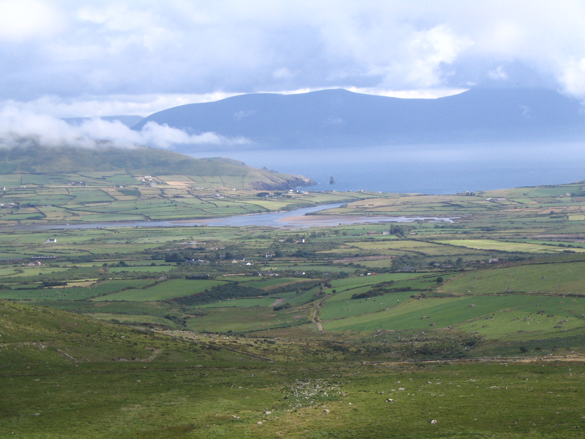
Bull's Head et Dingle Bay depuis Conor Pass
Liens externes
Wikimedia Foundation.
2010.
Contenu soumis à la licence CC-BY-SA. Source : Article Conor pass de Wikipédia en français (auteurs)
Regardez d'autres dictionnaires:
Conor Matthew Mccreedy — Conor Mccreedy Born Connor Mccreedy. February 11, 1987 (1987 02 11) (age 24) Johannesburg … Wikipedia
Connor Pass — xx Connor Pass Connor Pass Blickrichtung Norden (Brandon Bay) … Deutsch Wikipedia
Schlacht am Curlew Pass — Teil von: Neunjähriger Krieg Gälischer Häuptling, Denkmal am Curlew Pass … Deutsch Wikipedia
Batalla de Curlew Pass — Saltar a navegación, búsqueda Batalla de Curlew Pass Parte de Guerra de los Nueve Años … Wikipedia Español
Battle of Curlew Pass — Part of the Nine Years War The Gaelic Chieftain statue overlooks the battlefield today … Wikipedia
Crutch's Hillville House Hotel Kilcummin (Killarney) — Crutch s Hillville House Hotel Kilcummin country: Ireland, city: Killarney (Kerry County Kilcummin) Crutch s Hillville House Hotel Kilcummin The Crutch s Hillville House Hotel is located at Kilcummin junction near to west of Stradbally on the… … International hotels
Dingle Peninsula — Location map of the Dingle Peninsula The Dingle Peninsula (Irish: Corca Dhuibhne anglicized as Corkaguiny, the name of the corresponding barony) is the northernmost of the major peninsulae in County Kerry. Its ends beyond the town of Dingle at… … Wikipedia
Liste de chutes d'eau — Cette liste est incomplète ou mal ordonnée. Votre aide est la bienvenue ! Salto Angel, la plus haute chute du monde, Venezuela Ceci est une liste des chutes d ea … Wikipédia en Français
Irish St. Leger — NOTOC The Irish St. Leger is a Group 1 flat horse race in the Republic of Ireland open to thoroughbreds which are three years old or above. It is run over a distance of 1 mile and 6 furlongs (2,816 metres) at the Curragh, and it takes place… … Wikipedia
Mont Brandon — Géographie Altitude 952 m Massif Sliabh Mish Coordonnées … Wikipédia en Français
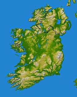
 Irlande