Chikusei
- Chikusei
-
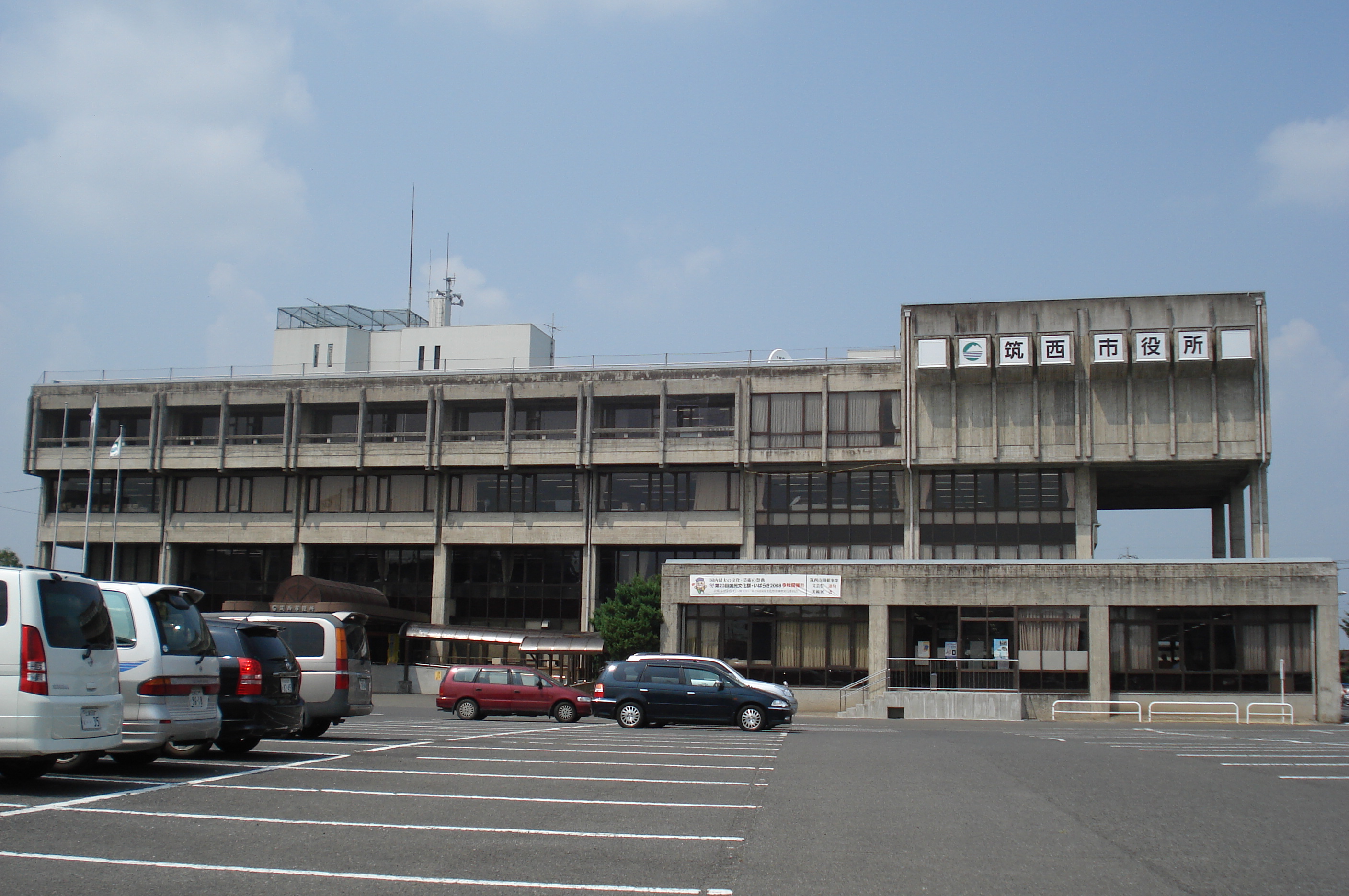
Chikusei (筑西市, Chikusei-shi?) est une ville du Japon située dans la préfecture d'Ibaraki.
La ville a été fondée le 28 mars 2005 après la fusion de la ville de Shimodate avec 3 villes du district Makabe.
En 2010, la ville avait une population de 107 985 habitants (53 363 hommes et 54 622 femmes), une densité de population de 525,86 hab/km² et une superficie de 205 35 km².
Les symboles de la ville sont le sakura et l'hirondelle rustique
Chikusei est desservie par les routes :
- 国道50号 (route nationale 50)
- 国道294号 (route nationale 294)
- 国道408号 (route nationale 408)
Chikusei est divisée en quatre arrondissements.
Liens externes
Wikimedia Foundation.
2010.
Contenu soumis à la licence CC-BY-SA. Source : Article Chikusei de Wikipédia en français (auteurs)
Regardez d'autres dictionnaires:
Chikusei — shi 筑西市 Geographische Lage in Japan … Deutsch Wikipedia
Chikusei — For the city in Japan, see Chikusei, Ibaraki. Chikusei is a Japanese word meaning voice of bamboo . It can refer to the different sounds, or voices, of bamboo. It usually refers to the sound of leaves whispering in the breeze as the wind passes… … Wikipedia
Chikusei, Ibaraki — Chikusei 筑西市 City [[File:|border|100px|border|alt=|Flag of Chikusei]] Flag … Wikipedia
Chikusei-shi — Admin ASC 2 Code Orig. name Chikusei shi Country and Admin Code JP.14.7452678 JP … World countries Adminstrative division ASC I-II
Akagi Norihiko — Norihiko Akagi (jap. 赤城 徳彦, Akagi Norihiko, * 18. April 1959 in Chikusei) ist ein japanischer Politiker. Er war von Mai 2007 bis zum 1. August 2007 Minister für Landwirtschaft, Forsten und Fischerei. Akagi ist Absolvent der Universität Tokyo und… … Deutsch Wikipedia
JP-08 — Karte Basisdaten Verwaltungssitz: Mito Region: Kantō … Deutsch Wikipedia
結城市 — Yūki shi Geographische Lage in Japan … Deutsch Wikipedia
Shimodate, Ibaraki — Shimodate (下館市; shi) was a city located in Ibaraki, Japan. On March 28, 2005 the city merged with three towns from Makabe District forming the new city of Chikusei. As of this merger, Shimodate no longer exists.As of 2003, the city had an… … Wikipedia
Sekijō, Ibaraki — Sekijō (関城町; machi) was a town located in Makabe District, Ibaraki, Japan. On March 28, 2005 the town merged with two other towns from the district and the city of Shimodate forming the city of Chikusei and no longer exists as an independent… … Wikipedia
Akeno, Ibaraki — Akeno (明野町; machi) was a town located in Makabe District, Ibaraki, Japan. On March 28, 2005 the town merged with two other towns from the district and the city of Shimodate forming the city of Chikusei and no longer exists as an independent… … Wikipedia