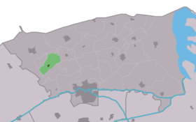
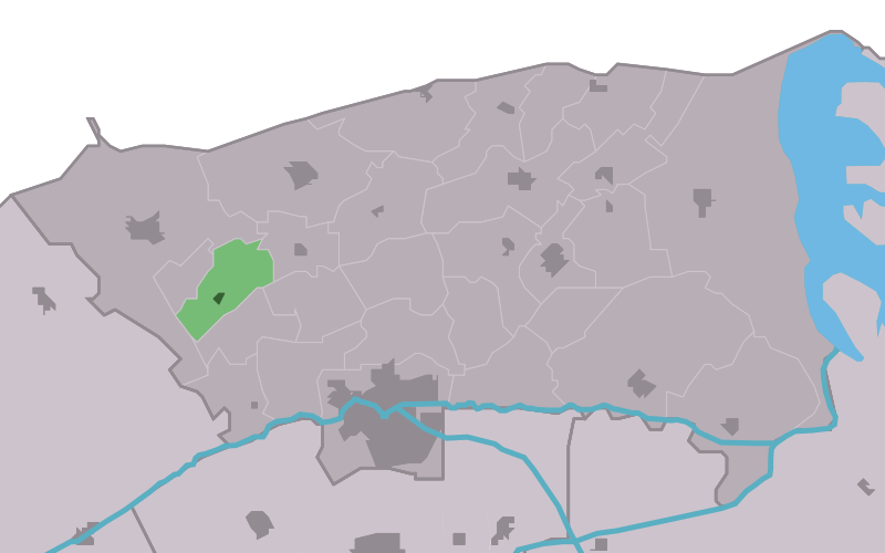
Brantgum
Contenu soumis à la licence CC-BY-SA. Source : Article Brantgum de Wikipédia en français (auteurs)
Regardez d'autres dictionnaires:
Brantgum — Flagge Wappen Provinz Friesland Gemeinde … Deutsch Wikipedia
Brantgum — Infobox Settlement official name = Brantgum mapsize = 280px subdivision type = Country subdivision name = flagicon|Netherlands Netherlands subdivision type1 = Province subdivision name1 = flagicon|Friesland Friesland settlement type = Village… … Wikipedia
Dongeradeel — Héraldique … Wikipédia en Français
Dongeradeel — Dongeradiel Municipality … Wikipedia
List of places in the Netherlands — This is an alphabetical list of places (cities, towns, villages) in the Netherlands. Lists per province can be found at:* List of towns in Groningen * List of towns in Friesland * List of towns in Drente * List of towns in Overijssel * List of… … Wikipedia
Dongeradeel — Gemeinde Dongeradeel Flagge Wappen Provinz Friesland Bürgermeiste … Deutsch Wikipedia
Waaxens — Lage von Waaxens in der Gemeinde Dongeradeel Waaxens (friesisch: Waaksens) ist ein kleines Dorf in der Gemeinde Dongeradeel in der niederländischen Provinz Friesland. Es befindet sich wie Brantgum und Foudgum auf dem Weg von Holwerd nach Dokkum… … Deutsch Wikipedia
Aalsum — 53°20′18″N 6°0′16″E / 53.33833, 6.00444 … Wikipédia en Français
Anjum — 53°22′29″N 6°7′38″E / 53.37472, 6.12722 … Wikipédia en Français
Boarnwert — Bornwird 53°20′1″N 5°57′11″E / 53.33361, 5.95306 … Wikipédia en Français
 Pays-Bas