Bovensmilde
Contenu soumis à la licence CC-BY-SA. Source : Article Bovensmilde de Wikipédia en français (auteurs)
Regardez d'autres dictionnaires:
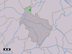
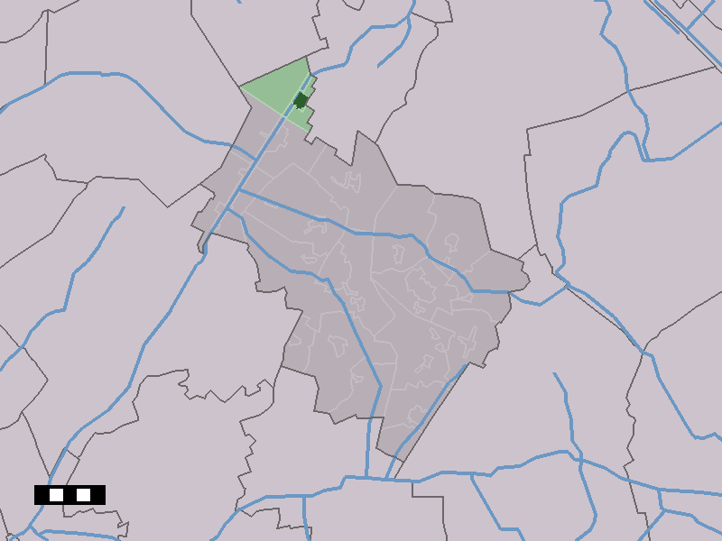
Bovensmilde — Dutch town locator maps mun town caption = The town centre (dark green) and the statistical district (light green) of Bovensmilde in the municipality of Midden Drenthe.Bovensmilde (coord|52|59|N|6|29|E|type:city(2873)) is a town in the Dutch… … Wikipedia
Midden-Drenthe — Gemeinde Midden Drenthe Flagge Wappen Provinz … Deutsch Wikipedia
Middenveld — Gemeinde Midden Drenthe Flagge Wappen Provinz … Deutsch Wikipedia
1977 Dutch train hostage crisis — Infobox civilian attack title= 1977 Dutch train hostage crisis caption= location= coordinates= coord|53|7|N|6|36|E|region:NL type:landmark|display=inline,title target=Train date= May 23 June 11, 1977 time= timezone= type= hostage taking… … Wikipedia
1977 — This article is about the year 1977. For other uses, see 1977 (disambiguation). Millennium: 2nd millennium Centuries: 19th century – 20th century – 21st century Decades: 1940s 1950s 1960s – 1970s – … Wikipedia
South Moluccas — The South Moluccas consist of about 150 islands in the Banda Sea. The main islands are Ceram, Ambon, and Buru. The people of the South Moluccas are mainly Melanesian Christians, numbering about one million. The islands are a part of the Republic… … Wikipedia
List of cities, towns and villages in Drenthe — This is a list of settlements in the province of Drenthe, in the Netherlands. Name Municipality Coordinates Aalden Coevorden … Wikipedia
1975 Dutch train hostage crisis — Infobox civilian attack title= 1975 Dutch train hostage crisis caption= location= coordinates= coord|52|49|N|6|31|E|region:NL type:landmark|display=inline,title target=Train date= December 2 December 14, 1975 time= timezone= type= , hostage… … Wikipedia
Elp — 52°51′24″N 6°30′40″E / 52.85667, 6.51111 … Wikipédia en Français
Norgervaart (hameau) — 53°0′34″N 6°29′9″E / 53.00944, 6.48583 … Wikipédia en Français
 Pays-Bas