Bongaree
- Bongaree
-
Bongaree est une banlieue du Conseil regional de Moreton Bay dans l'État du Queensland en Australie. Elle est située plus précisément à l'ouest de Bribie Island adjacente à Pumicestone Passage. Elle est donc toute proche du littoral. Au recensement effectué en 2006, la banlieue enregistra une population de 14 275 habitants, pour une moyenne d'âge de 55 ans.
Références
Wikimedia Foundation.
2010.
Contenu soumis à la licence CC-BY-SA. Source : Article Bongaree de Wikipédia en français (auteurs)
Regardez d'autres dictionnaires:
Bongaree — Original name in latin Bongaree Name in other language Bongaree, Bribie State code AU Continent/City Australia/Brisbane longitude 27.08367 latitude 153.15942 altitude 6 Population 13649 Date 2012 02 28 … Cities with a population over 1000 database
Bongaree, Queensland — Infobox Australian Place | type = suburb name = Bongaree state = qld lga = Moreton Bay Regional Council postcode = 4507 est = pop = 14,275Census 2006 AUS | id = UCL307000 | name = Bongaree (Urban Centre/Locality) |quick = on|accessdate=2008 06… … Wikipedia
Bongaree — /bɒŋgəˈri/ (say bongguh ree) noun the main town of Bribie Island, situated on the south west section of the island north of Brisbane; holiday and tourist resort …
Bribie Island — is a large sand island in the northern part of Moreton Bay, Queensland.The island is separated from the mainland by the Pumicestone Passage, named by Captain James Cook, who noted small floating pieces of pumice. Examples of pumice from ancient… … Wikipedia
Bribie-Island-Nationalpark — Brücke nach Bribie Island Bribie Island ist eine große Sandinsel vor der Küste Australiens. Sie liegt etwa 70 Kilometer nördlich von Queenslands Hauptstadt Brisbane und bildet den nördlichen Abschluss der Moreton Bay. Bribie Island ist 34… … Deutsch Wikipedia
Bribie Island — Lage von Bribie Island in Australien Bribie Island ist eine große Sandinsel vor der Küste Australiens. Sie liegt etwa 70 Kilometer nördlich von Queenslands Hauptstadt Brisbane und bildet den nördlichen Abschluss der Moreton Bay. Bribie Island ist … Deutsch Wikipedia
Contenu:Australie — Projet:Australie/Liste des articles Liste mise à jour régulièrement par MyBot (d · c · b) à partir des articles liés au bandeau {{Portail Australie}} Modifications récentes des articles ayant le bandeau de ce portail… … Wikipédia en Français
Moreton Bay Region — Queensland Moreton Bay in south eastern Queensland Population: 382,280(2010) … Wikipedia
Bungaree — Bild von Bungaree mit einer King plate auf seiner Brust, gemalt von Augustus Earle (1826) Bungaree (* 1775 in New South Wales, Australien; † 24. November 1830 in Garden Island, New South Wales), auch Bongaree genannt, war ein Aborigine … Deutsch Wikipedia
Mount Nebo (Queensland) — Mount Nebo Queensland Mount Nebo, Queensland Population … Wikipedia
 Australie
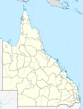
 Bongaree

