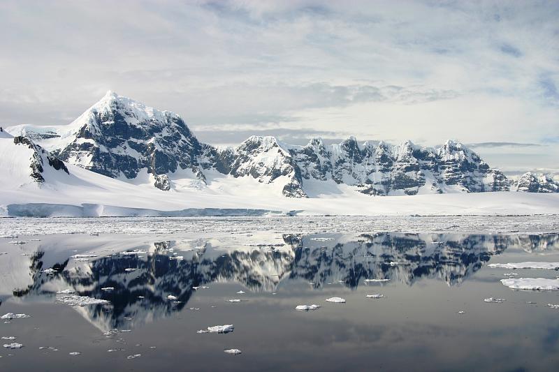
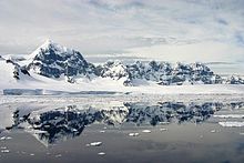
Île Wiencke
Contenu soumis à la licence CC-BY-SA. Source : Article Île Wiencke de Wikipédia en français (auteurs)
Regardez d'autres dictionnaires:
Expédition antarctique belge — 71°31′S 85°16′W / 71.517, 85.267 … Wikipédia en Français
Port Lockroy — 64°49′S 63°30′W / 64.817, 63.5 … Wikipédia en Français
Chenal Peltier — Pour les articles homonymes, voir Peltier. 64°52′S 63°32′W / … Wikipédia en Français
List of Antarctic and sub-Antarctic islands — This is a List of Antarctic and sub Antarctic islands. Sub Antarctic islands are islands in the Southern Ocean around Antarctica north of the Antarctic Circle (66° 33 38 ). Antarctic islands are the islands in the Southern Ocean or in the seas… … Wikipedia
Chenal Neumayer — 64°47′26″S 63°8′21″O / 64.79056, 63.13917 … Wikipédia en Français
Expedition Antarctique belge — Expédition antarctique belge 71°31′S 85°16′W / 71.517, 85.267 … Wikipédia en Français
Expédition Antarctique Belge — 71°31′S 85°16′W / 71.517, 85.267 … Wikipédia en Français
Expédition Antarctique belge — 71°31′S 85°16′W / 71.517, 85.267 … Wikipédia en Français
Trinity Island — Vorlage:Infobox Insel/Wartung/Bild fehltVorlage:Infobox Insel/Wartung/Höhe fehlt Trinity Island Gewässer Südlicher Ozean Inselgruppe Palmer Archipel Geographische Lage … Deutsch Wikipedia
 Le pic Luigi sur l’île Wiencke.