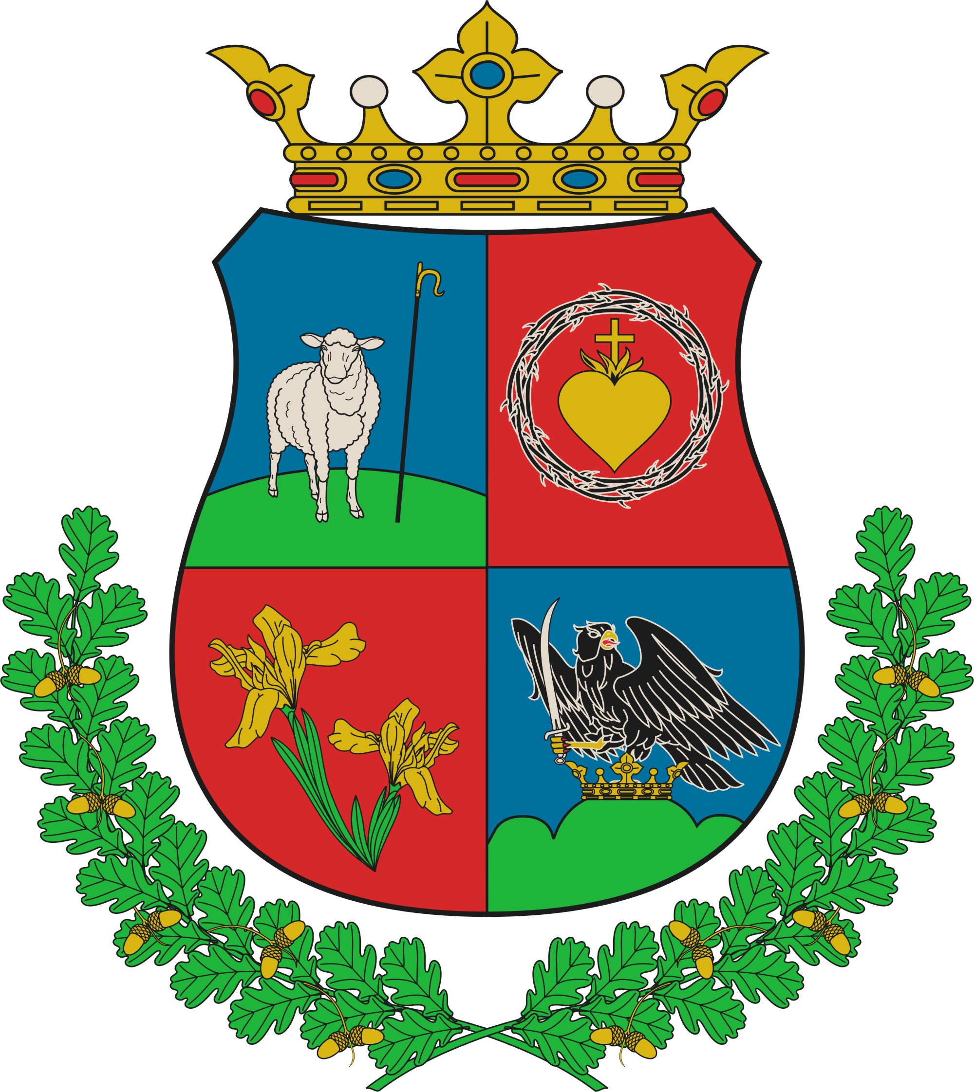
Ásotthalom
- Ásotthalom
-
Ásotthalom est un village et une commune du comitat de Csongrád en Hongrie.
Géographie
Cette section est vide, insuffisamment détaillée ou incomplète.
Votre aide est la bienvenue !
Histoire
Cette section est vide, insuffisamment détaillée ou incomplète.
Votre aide est la bienvenue !
Catégorie :
- Ville et village du comitat de Csongrád
Wikimedia Foundation.
2010.
Contenu soumis à la licence CC-BY-SA. Source : Article Ásotthalom de Wikipédia en français (auteurs)
Regardez d'autres dictionnaires:
Ásotthalom — Infobox Settlement settlement type = subdivision type = Country subdivision name = HUN latd= |latm= |lats= |latNS=N longd= |longm= |longs= |longEW=Epushpin pushpin label position = pushpin map caption = pushpin mapsize = timezone=CET utc… … Wikipedia
Asotthalom — Original name in latin sotthalom Name in other language Asotthalom, sotthalom State code HU Continent/City Europe/Budapest longitude 46.19875 latitude 19.78334 altitude 110 Population 4134 Date 2012 01 18 … Cities with a population over 1000 database
Csongrád County — This article is about the county. For the town see Csongrád. For the historical comitatus see Csongrád (former county). Csongrád County Coat of arms … Wikipedia
Makó — This article is about the Hungarian town. For other uses, see Mako (disambiguation). Makó Montage including images of downtown Makó … Wikipedia
Csongrád — For Csongrád the county, see Csongrád (county). Csongrád Nagyboldogasszony (Holy Virgin) Church … Wikipedia
Magyarcsanád — The main street of Magyarcsanád on an aerial photo … Wikipedia
Deszk — Деска Country Hungary County Csongrád Area Total 52.05 km2 … Wikipedia
Öttömös — Country Hungary County Csongrád Area – Total 33.91 km2 (13.1 sq … Wikipedia
Csanádalberti — Country Hungary County Csongrád Area – Total 15.32 km2 (5.9 sq& … Wikipedia
Óföldeák — Country Hungary County Csongrád Area – Total 35.09 km2 (13.5 sq … Wikipedia


 Hongrie


 Ásotthalom