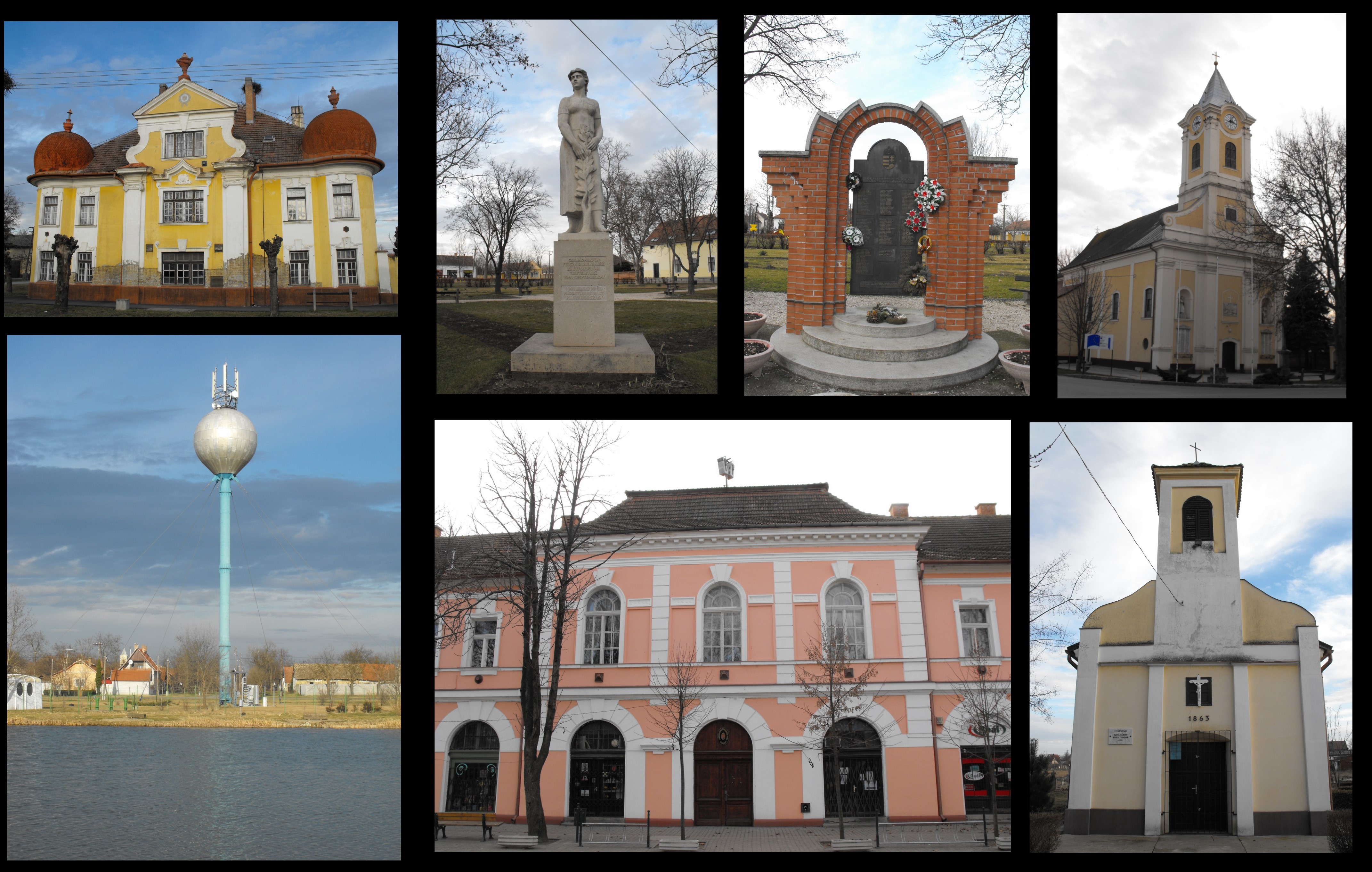
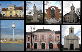
Csanádpalota
- Csanádpalota
-
Csanádpalota est une ville et une commune du comitat de Csongrád en Hongrie.
Géographie
Cette section est vide, insuffisamment détaillée ou incomplète.
Votre aide est la bienvenue !
Histoire
Cette section est vide, insuffisamment détaillée ou incomplète.
Votre aide est la bienvenue !
Catégories :
- Ville et village du comitat de Csongrád
- Ville de Hongrie
Wikimedia Foundation.
2010.
Contenu soumis à la licence CC-BY-SA. Source : Article Csanádpalota de Wikipédia en français (auteurs)
Regardez d'autres dictionnaires:
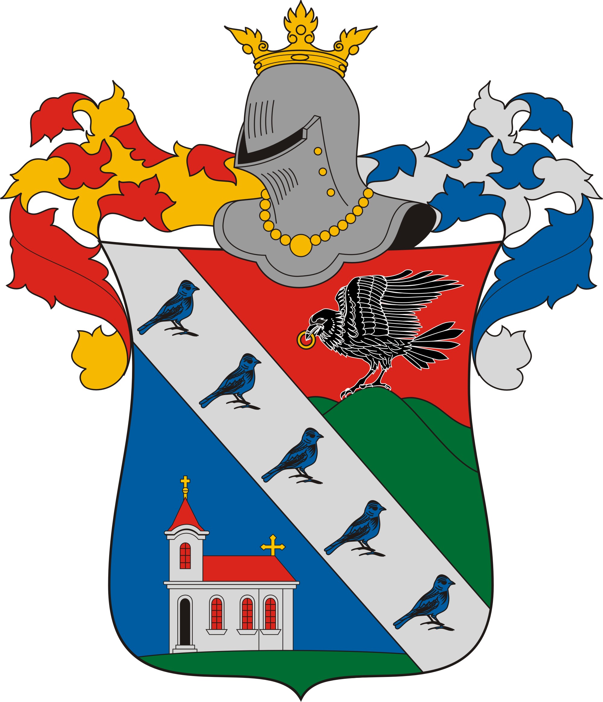
Csanádpalota — Coat of arms … Wikipedia
Csanadpalota — Original name in latin Csandpalota Name in other language Csanadpalota, Csandpalota State code HU Continent/City Europe/Budapest longitude 46.25 latitude 20.73333 altitude 86 Population 3224 Date 2012 01 18 … Cities with a population over 1000 database
Csongrád County — This article is about the county. For the town see Csongrád. For the historical comitatus see Csongrád (former county). Csongrád County Coat of arms … Wikipedia
List of cities and towns in Hungary — Hungary This article is part of the series: Politics and government of Hungary Constitution President … Wikipedia
Makó — This article is about the Hungarian town. For other uses, see Mako (disambiguation). Makó Montage including images of downtown Makó … Wikipedia
Čoka — Чока Csóka Municipality and Town The Holy Trinity Catholic Church … Wikipedia
Csongrád — For Csongrád the county, see Csongrád (county). Csongrád Nagyboldogasszony (Holy Virgin) Church … Wikipedia
Antifascist Front of Slavs in Hungary — (Serbo Croatian: Antifašistički front Slavena u Mađarskoj/Антифашистички фронт Словена у Мађарској , Hungarian: Magyarországi Szlávok Antifasiszta Frontja ) was organization founded in February 18 1945 in Battonya. For General Secretary was… … Wikipedia
Magyarcsanád — The main street of Magyarcsanád on an aerial photo … Wikipedia
Deszk — Деска Country Hungary County Csongrád Area Total 52.05 km2 … Wikipedia

 Hongrie


 Csanádpalota