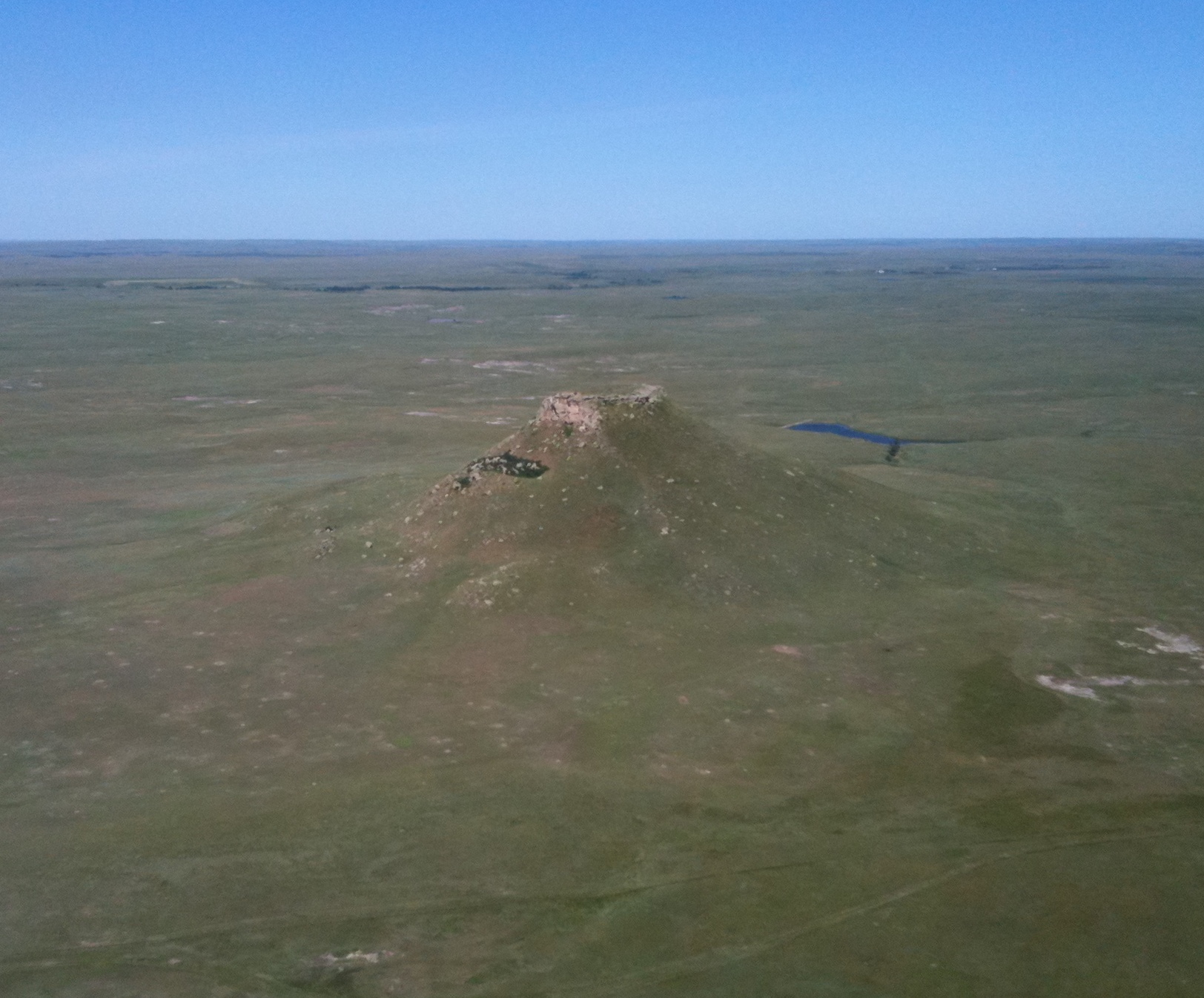
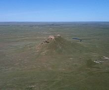
Thunder Butte
Contenu soumis à la licence CC-BY-SA. Source : Article Thunder Butte de Wikipédia en français (auteurs)
Regardez d'autres dictionnaires:
Thunder Butte — (or Wakinyan Paha in the language of the Lakota Sioux people) is a prominent landmark located in the northwest corner of Ziebach County, South Dakota, in the United States. [Rand McNally Atlas, 2006] Thunder Butte is a landform that can be seen… … Wikipedia
Big Thunder Mountain Railroad — (also Big Thunder Mountain) is a relatively mild indoor/outdoor mine train roller coaster common in Magic Kingdom style Disney theme parks worldwide. Big Thunder Mountain Railroad is also the name of the fictional rail line depicted in the… … Wikipedia
Nahanni Butte Water Aerodrome — IATA: none – ICAO: none – TC LID: CET8 Summary Airport type Public Operator Nahanni Butte Settlement … Wikipedia
Nahanni Butte Airport — IATA: none – ICAO: none – TC LID: CBD6 Summary Airport type Public Operator Government of the Northwest Territories … Wikipedia
Ziebach County, South Dakota — Infobox U.S. County county = Ziebach County state = South Dakota founded year = founded date = seat wl = Dupree largest city wl = Dupree area total sq mi = 1971 area total km2 = 5105 area land sq mi = 1962 area land km2 = 5082 area water sq mi =… … Wikipedia
Dakota du Sud — 44° 30′ N 100° 00′ W / 44.5, 100 … Wikipédia en Français
South Dakota — This article is about the U.S. state of South Dakota. For other uses, see South Dakota (disambiguation). State of South Dakota … Wikipedia
Geography of South Dakota — Terrain and primary geographic features of South Dakota South Dakota is a state located in the north central United States. It is usually considered to be in the Midwestern region of the country. The state can generally be divided into three… … Wikipedia
Cheyenne River Indian Reservation — Not to be confused with Northern Cheyenne Indian Reservation. Cheyenne River Indian Reservation Reservation Farmland on the reservation … Wikipedia
Moreau River — Lage des Moreau River (türkis gefärbt) Daten Gewässerkennzahl … Deutsch Wikipedia
 Thunder Butte