Thaya (Autriche)

Thaya (Autriche)
Thaya
Blason absent
Blason inconnu
Aucune image disponible!
Données administratives
Pays Drapeau d'Autriche Autriche
Land Drapeau de Basse-Autriche Basse-Autriche
District
(Bezirk)
District de Waidhofen an der Thaya
Données générales
Code postal A-
Indicatif tél. 43+
Politique
Géographie
Altitude m
Coordonnées
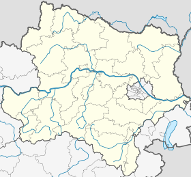
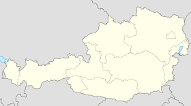
 48° 51′ 00″ N 15° 17′ 00″ E / 48.85, 15.2833333348° 51′ 00″ Nord
       15° 17′ 00″ Est
/ 48.85, 15.28333333
  

(Voir situation sur la carte de Basse-Autriche)

Thaya (Autriche)

(Voir situation sur une carte d'Autriche)

Localisation de la ville
Thaya (Autriche)

Thaya est une commune autrichienne du district de Waidhofen an der Thaya en Basse-Autriche.

Géographie

Histoire


Wikimedia Foundation. 2010.

Contenu soumis à la licence CC-BY-SA. Source : Article Thaya (Autriche) de Wikipédia en français (auteurs)

Игры ⚽ Поможем решить контрольную работу

Regardez d'autres dictionnaires:

Share the article and excerpts

Direct link
Do a right-click on the link above
and select “Copy Link”