Tab (Indiana)
- Tab (Indiana)
-
40° 24′ 40″ N 87° 28′ 22″ W / 40.411111, -87.472778
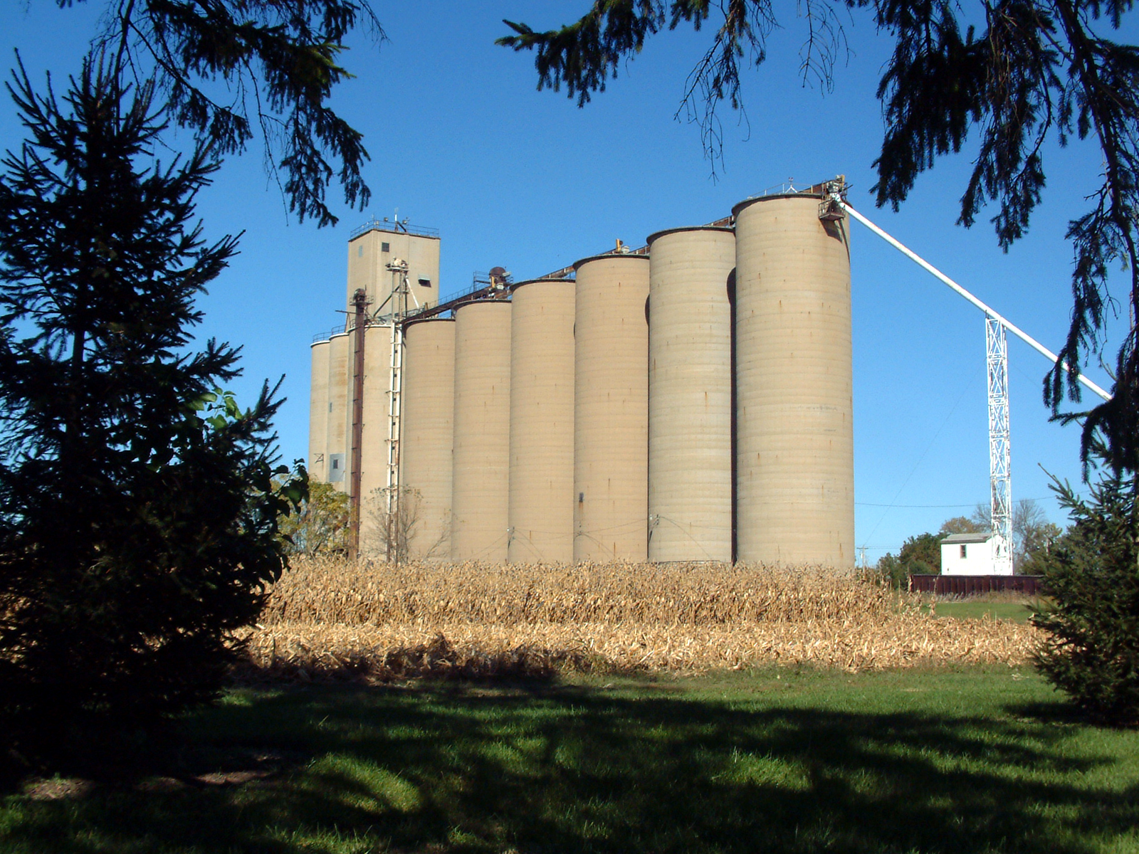
Tab est une localité non incorporée du Prairie Township, comté de Warren, dans l'Indiana, aux États-Unis ; elle est située dans la partie nord-ouest du comté, à l'intersection de la County Road 650 North et de la Bee Line Railroad. Le cours d'eau Jordan Creek prend sa source à quelques kilomètres au nord-est de Tab et passe à l'est du village.
Annexes
Références
Wikimedia Foundation.
2010.
Contenu soumis à la licence CC-BY-SA. Source : Article Tab (Indiana) de Wikipédia en français (auteurs)
Regardez d'autres dictionnaires:
Tab, Indiana — Infobox Settlement official name = Tab settlement type = Town motto = imagesize = image caption = The grain elevators on the west side of town mapsize = map caption = mapsize1 = map caption1 = image dot dot mapsize = dot map caption = dot x =… … Wikipedia
Tab — In Wikipedia, colons (:) are used to tab. Tab or tabs may refer to:*Tabulation: computing evolved from a mechanical basis using cards gradually between the 1940s and 1990s to a completely electronic basis. The card based systems and components… … Wikipedia
Indiana Jones y el Reino de la Calavera de Cristal — Saltar a navegación, búsqueda Indiana Jones and the Kingdom of the Crystal Skull Título Indiana Jones y el Reino de la calavera de cristal Ficha técnica Dirección Steven Spielberg Dirección artística … Wikipedia Español
Indiana Jones y el reino de la calavera de cristal — Indiana Jones and the Kingdom of the Crystal Skull Harrison Ford durante el rodaje de la película Título Indiana Jones y el reino de la calavera de cristal Ficha técnica … Wikipedia Español
Comté de Warren (Indiana) — 40° 21′ N 87° 22′ W / 40.35, 87.36 … Wikipédia en Français
Timeline of Warren County, Indiana history — This article is a timeline of Warren County, Indiana history. 19th century1800s* c.1802: – Zachariah Cicott arrives to trade with local Indian tribes. Cicott is considered the first European to enter the area that will become Warren County.1810s* … Wikipedia
Prairie Township, Warren County, Indiana — Infobox Settlement official name = Prairie Township settlement type = Township nickname = motto = imagesize = image caption = image imagesize = image caption = image mapsize = map caption = Location in Warren County mapsize1 = map caption1 =… … Wikipedia
Central Middle School (Kokomo, Indiana) — Infobox School name = Central Middle School imagesize = caption = streetaddress = 303 E. Superior St. city = Kokomo state = Indiana zipcode = 46901 country = USA coordinates = coord|40.485574| 86.128324|display=inline,title schoolnumber =… … Wikipedia
Medina Township, Warren County, Indiana — Medina Township Township Location of Medina Township in Warren County … Wikipedia
Mound Township, Warren County, Indiana — Mound Township Township Location of Mound Township in Warren County … Wikipedia
 États-Unis
 Indiana