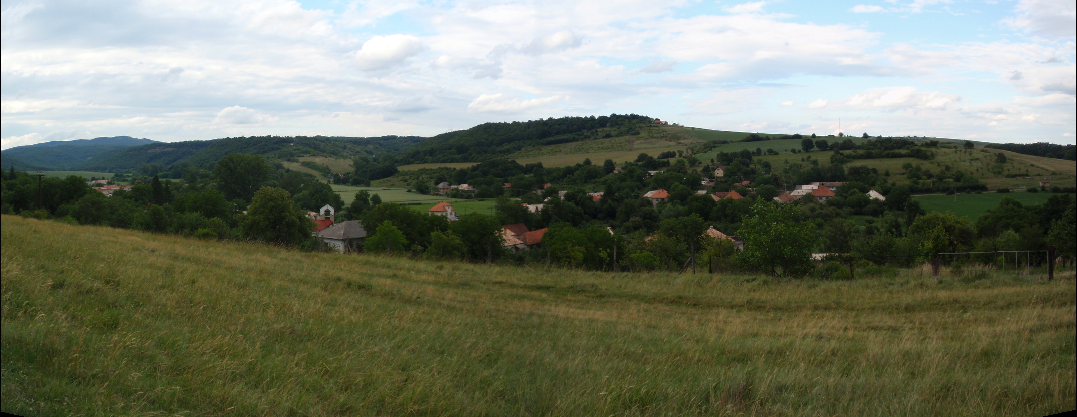
- Súdovce
-
Súdovce
(Village)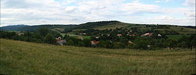
Administration Pays  Slovaquie
Région Région de Banská Bystrica District District de Krupina Code postal 962 70 Plaque minéralogique KA Starosta (maire) Priska Fantová ( SMER,KDH,SNS,ĽS-HZDS )
Mandat: 2013
Démographie Population 213 hab. (31.12.2008) Densité 21,8 hab./km2 Géographie Coordonnées Altitude 164 m Superficie 977 ha = 9,77 km² Localisation en Slovaquie 
 Súdovce
 Súdovce
Localisation dans la région de Banská Bystrica Sources Resultat des élections http://www.e-obce.sk [1] http://www.statistics.sk [2] http://www.slovakregion.sk/ [3] Súdovce (allemand : Sudowatz, hongrois : Szúd)[4] est un village de Slovaquie situé dans la région de Banská Bystrica.
Histoire
Première mention écrite du village en 1244[2].
Notes et références
- (sk) e-obce.sk. Consulté le 9 février 2010
- (en) Mestská a obecná štatistika SR. Consulté le 9 février 2010
- (sk) Slovak region. Consulté le 9 février 2010
- (sk) Slovenské slovníky. Consulté le 7 février 2010
Catégories :- Village de Slovaquie
- Village et ville du district de Krupina


Wikimedia Foundation. 2010.