Sarfannguit
- Sarfannguit
-
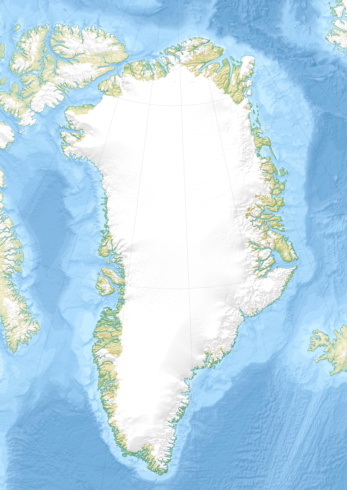
Sarfannguit est un village groenlandais situé dans la municipalité de Qeqqata près de Sisimiut au sud-ouest du Groenland. La population était de 126 habitants en 2010.
Wikimedia Foundation.
2010.
Contenu soumis à la licence CC-BY-SA. Source : Article Sarfannguit de Wikipédia en français (auteurs)
Regardez d'autres dictionnaires:
Sarfannguit — Kommune Qeqqata Kommunia Geographische Lage 66° 53′ 0″ N, 52° 51′ 0″ W … Deutsch Wikipedia
Sarfannguit — Saltar a navegación, búsqueda Sarfannguit (antiguamente Sarfannguaq o Sarfánguaq) es una localidad en la municipalidad de Qeqqata, al centro oeste de Groenlandia. Tiene una población de 127 habitantes (en 2005). Se ubica a 66°54′N 52°52′O y fue… … Wikipedia Español
Sarfannguit — (old spelling Sarfannguaq / Sarfánguaq ) is a settlement in the Municipality of Sisimiut, Greenland. Population (January 2005) is 127. Approximate location is coord|66|54|N|52|52|W. The settlement was founded in 1843. References *… … Wikipedia
Сарфаннгуак — Посёлок Сарфаннгуак Sarfannguit Страна ГренландияГренландия … Википедия
Holsteinborg — Sisimiut Holsteinsborg Sisimiut vom Nasaasaaq Kommune Qeqqata Kommunia Geographische Lage … Deutsch Wikipedia
Liste der Gemeinden in Grönland — Die Kommunen Qeqqata Kommunia, Kommuneqarfik Sermersooq, Qaasuitsup Kommunia und Kommune Kujalleq Dies ist eine Liste der Siedlungen in Grönland nach Kommunen … Deutsch Wikipedia
Qeqqata — Lage von Qeqqata Kommunia in Grönland Wappen von Qeqqata Kommunia Qeqqata Kommunia (deutsch: Mittelkommune) ist eine grönländische Großkommune mit einer Bevölkerungszahl von 9 … Deutsch Wikipedia
Sisimiut — 66° 56′ 20″ N 53° 40′ 20″ W / 66.938889, 53.672222 … Wikipédia en Français
Населённые пункты Гренландии — формально делятся на два типа: города (дат. by) и посёлки (деревни; дат. bygd). И те, и другие довольно небольшие, но городами считаются центры коммун, в том числе, видимо, бывших; остальные населённые пункты посёлки. Всего в стране… … Википедия
Nuuk — Godthåb City Nuussuaq district of Nuuk with the Sermitsiaq mountain in the background … Wikipedia
 Groenland
 Sarfannguit