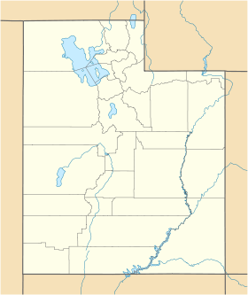
Santaquin
- Santaquin
-
Wikimedia Foundation.
2010.
Contenu soumis à la licence CC-BY-SA. Source : Article Santaquin de Wikipédia en français (auteurs)
Regardez d'autres dictionnaires:
Santaquin — Santaquin, UT U.S. city in Utah Population (2000): 4834 Housing Units (2000): 1364 Land area (2000): 2.614687 sq. miles (6.772008 sq. km) Water area (2000): 0.000000 sq. miles (0.000000 sq. km) Total area (2000): 2.614687 sq. miles (6.772008 sq.… … StarDict's U.S. Gazetteer Places
Santaquin, UT — U.S. city in Utah Population (2000): 4834 Housing Units (2000): 1364 Land area (2000): 2.614687 sq. miles (6.772008 sq. km) Water area (2000): 0.000000 sq. miles (0.000000 sq. km) Total area (2000): 2.614687 sq. miles (6.772008 sq. km) FIPS code … StarDict's U.S. Gazetteer Places
Santaquin — Original name in latin Santaquin Name in other language State code US Continent/City America/Denver longitude 39.97551 latitude 111.78521 altitude 1519 Population 9128 Date 2011 05 14 … Cities with a population over 1000 database
Santaquin (Utah) — Saltar a navegación, búsqueda Santaquin es una ciudad del condado de Utah, estado de Utah, Estados Unidos. Según el censo de 2000 la población era de 4.834 habitantes. Geografía Santaquin se encuentra en las coordenadas … Wikipedia Español
Santaquin, Utah — Infobox Settlement official name = Santaquin, Utah settlement type = City nickname = motto = imagesize = image caption = image mapsize = 250px map caption = Location of Santaquin, Utah mapsize1 = map caption1 = subdivision type = Country… … Wikipedia
84655 — Santaquin, Ut (Miscellaneous » ZIP Codes) … Abbreviations dictionary
U.S. Route 6 in Utah — Infobox road state=UT type=US route=6 section=106 maint=UDOT length mi=373.963 length round=3 length ref=Utah Department of Transportation, [http://www.udot.utah.gov/main/f?p=100:pg:7362807272423840:::1:T,V:814, Highway Reference Information] :… … Wikipedia
Utah State Route 198 — Infobox road state=UT type=SR route=198 section=125 maint=UDOT length mi=15.715 length round=3 length ref=cite web | title=State Route 198 Highway reference | publisher=Utah Department of Transportation |… … Wikipedia
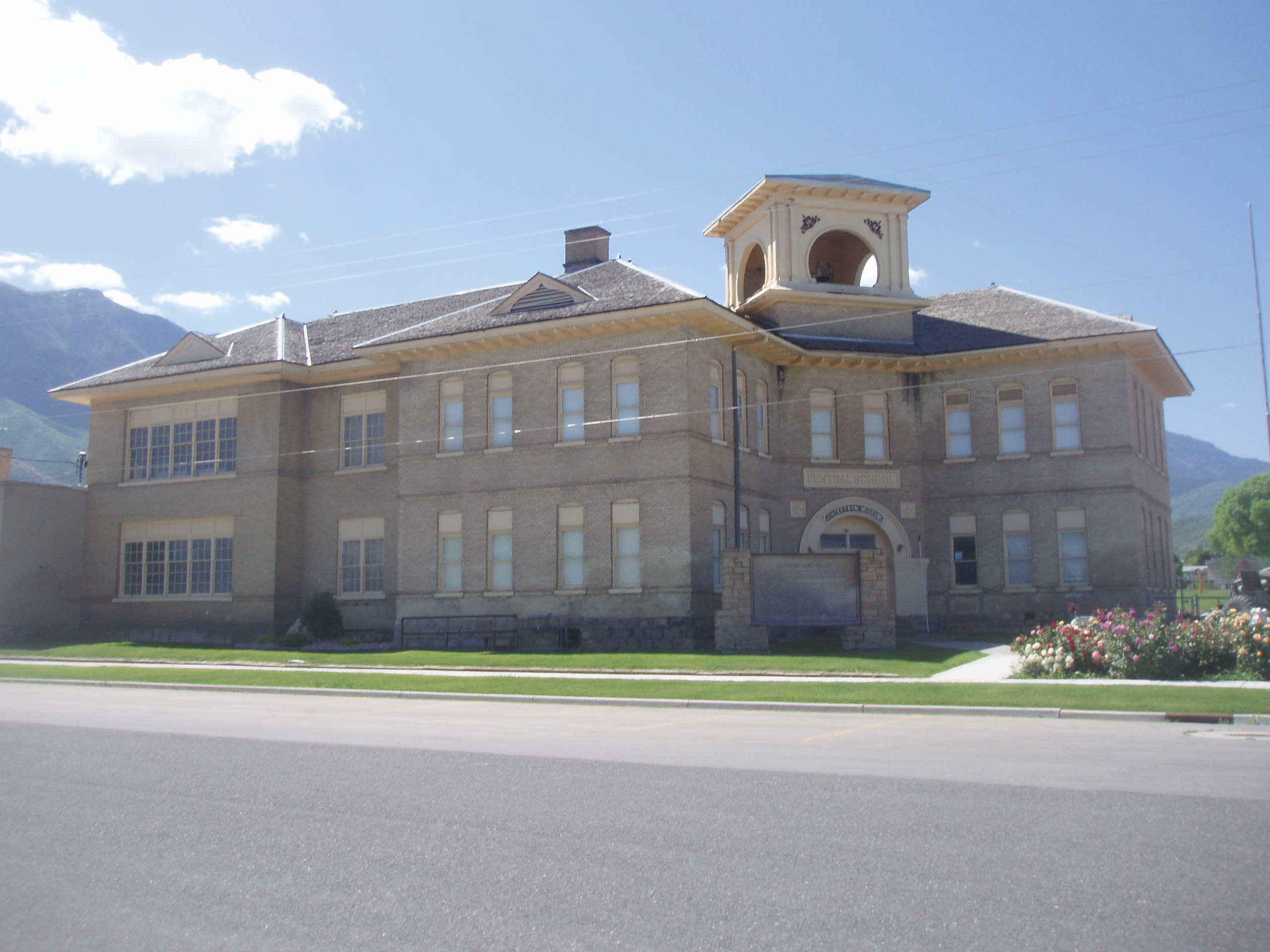
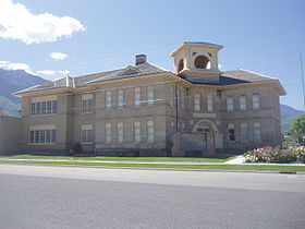
National Register of Historic Places listings in Utah County, Utah — Location of Utah County in Utah This is a list of the National Register of Historic Places listings in Utah County, Utah. This is intended to be a complete list of the properties and districts on the National Register of Historic Places in Utah… … Wikipedia
Nebo School District — Type and location Country United States Location 350 S. Main Spanish Fork, Utah Ut … Wikipedia
 États-Unis
 Utah
Utah