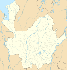
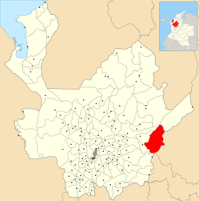
Puerto Berrío
- Puerto Berrío
-
Catégories :
- Ville de Colombie
- Municipalité d'Antioquia
Wikimedia Foundation.
2010.
Contenu soumis à la licence CC-BY-SA. Source : Article Puerto Berrío de Wikipédia en français (auteurs)
Regardez d'autres dictionnaires:
Puerto Berrío — Saltar a navegación, búsqueda Puerto Berrío Bandera … Wikipedia Español
Puerto Berrío — is a municipality and town in the Colombian department of Antioquia. Puerto Berrío is located in a region of Antioquia known as the Middle Magdalena (near the Magdalena River). It limits by the north with the municipalities of Yolombó, Remedios… … Wikipedia
Puerto Berrio — Original name in latin Puerto Berro Name in other language Puerto Berrio, Puerto Berro State code CO Continent/City America/Bogota longitude 6.49156 latitude 74.40326 altitude 110 Population 33983 Date 2012 01 19 … Cities with a population over 1000 database
Puerto Berrío — ▪ Colombia city, eastern Antioquia department, northwestern Colombia, situated on the Magdalena River. It has been an important transportation hub almost since its founding in 1875 and a commercial and manufacturing centre for the… … Universalium
Puerto Berrio — Admin ASC 2 Code Orig. name Puerto Berrío Country and Admin Code CO.02.3671541 CO … World countries Adminstrative division ASC I-II
Iglesia de Nuestra Señora de los Dolores (Puerto Berrío) — Este artículo trata sobre una iglesia en Puerto Berrío. Para otras iglesias bajo la misma advocación, véase Iglesia de Nuestra Señora de los Dolores. Iglesia de Nuestra Señora de los Dolores Tipo Iglesia Ubicación Puerto Berrío, Antioquia … Wikipedia Español
Cementerio Parroquial de Puerto Berrío — Saltar a navegación, búsqueda El Cementerio Parroquial de Puerto Berrío es un cementerio colombiano con forma de Cruz de Malta ubicado a trece cuadras del parque, en donde se encuentra la Iglesia de Nuestra Señora de los Dolores, en el municipio… … Wikipedia Español
Puerto Nare — Saltar a navegación, búsqueda Puerto Nare Bandera … Wikipedia Español
Puerto Boyacá — is a Colombian river port town and municipality by the Magdalena River in the Boyacá Department, where is also considered a Special Handling Zone due to its port status. Its main industries are oil exploration and processing. In the 1980s and… … Wikipedia
Puerto Nare — 6° 11′ 30″ N 74° 35′ 12″ W / 6.19167, 74.5867 … Wikipédia en Français


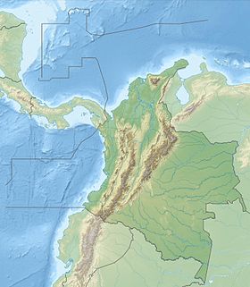
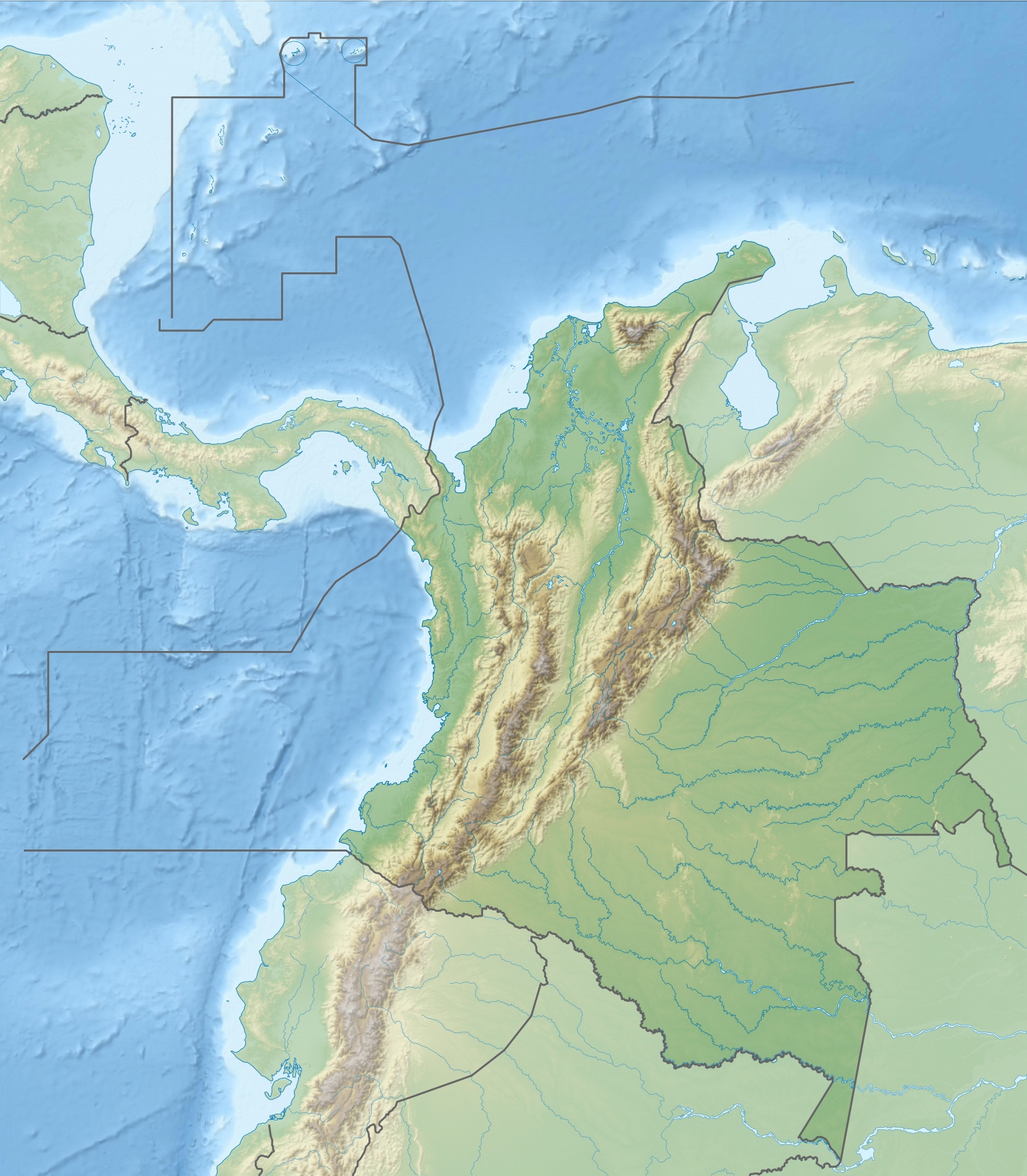
 Colombie
 Antioquia