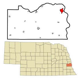
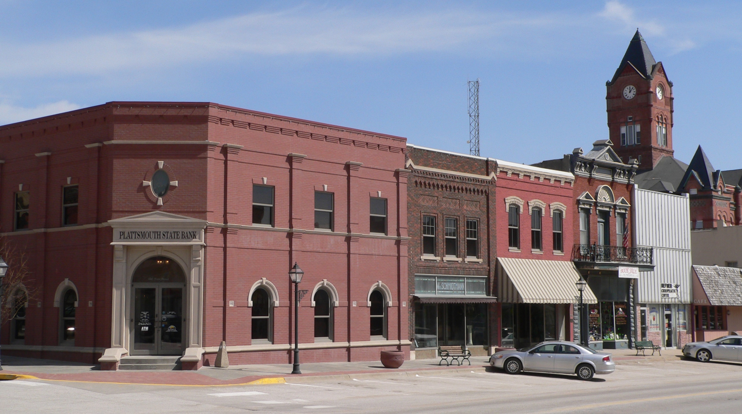
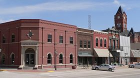
Plattsmouth
- Plattsmouth
-
Wikimedia Foundation.
2010.
Contenu soumis à la licence CC-BY-SA. Source : Article Plattsmouth de Wikipédia en français (auteurs)
Regardez d'autres dictionnaires:
Plattsmouth — Plattsmouth, NE U.S. city in Nebraska Population (2000): 6887 Housing Units (2000): 2805 Land area (2000): 2.891741 sq. miles (7.489574 sq. km) Water area (2000): 0.006265 sq. miles (0.016225 sq. km) Total area (2000): 2.898006 sq. miles… … StarDict's U.S. Gazetteer Places
Plattsmouth, NE — U.S. city in Nebraska Population (2000): 6887 Housing Units (2000): 2805 Land area (2000): 2.891741 sq. miles (7.489574 sq. km) Water area (2000): 0.006265 sq. miles (0.016225 sq. km) Total area (2000): 2.898006 sq. miles (7.505799 sq. km) FIPS… … StarDict's U.S. Gazetteer Places
Plattsmouth — (spr. mauth), Hauptstadt der Grafschaft Caß des nordamerikan. Staates Nebraska, am Missouri, unterhalb dessen Zusammenflusses mit dem Platte River, Bahnkreuzung, mit großer Brücke, Eisenbahnwerkstätten, Produktenhandel und (1900) 4964 (1890:… … Meyers Großes Konversations-Lexikon
Plattsmouth — ▪ Nebraska, United States city, seat (1855) of Cass county, eastern Nebraska, U.S., near the confluence of the Platte and Missouri rivers, about 20 miles (32 km) south of Omaha. Oto and Omaha Indians were early inhabitants. French explorers … Universalium
Plattsmouth — Original name in latin Plattsmouth Name in other language State code US Continent/City America/Chicago longitude 41.01139 latitude 95.88223 altitude 304 Population 6502 Date 2011 05 14 … Cities with a population over 1000 database
Plattsmouth — Sp Plãtsmutas Ap Plattsmouth L JAV Kaso apyg. c. (Nebraska) … Pasaulio vietovardžiai. Internetinė duomenų bazė
Plattsmouth Bridge — The Plattsmouth Bridge is owned by the city of Plattsmouth truss bridge over the Missouri River connecting Cass County, Nebraska and Mills County, Iowa via U.S. Route 34.The bridge has seven spans including the 402 foot cantilevered through truss … Wikipedia
Plattsmouth, Nebraska — Infobox Settlement official name = Plattsmouth, Nebraska settlement type = City nickname = motto = imagesize = image caption = image imagesize = image caption = image mapsize = 250px map caption = Location of Plattsmouth, Nebraska mapsize1 = map… … Wikipedia
Plattsmouth High School — Infobox Education in the United States name= Plattsmouth High School motto= streetaddress= 1916 East Highway 34 city= Plattsmouth state= Nebraska zipcode= 68048 areacode= 402 phone= 296 3322 fax= 296 3342 email= url= http://phs.plattsmouthschools … Wikipedia
68048 — Plattsmouth, Ne (Miscellaneous » ZIP Codes) … Abbreviations dictionary
 États-Unis
 Nebraska
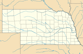