Ottinge
- Ottinge
-
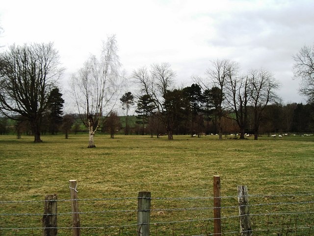
Ottinge est un hameau située de Folkestone dans le Kent. Il se trouve à moins d'un mile (1 km) du village de Lyminge et de Elham.
Sur les autres projets Wikimedia :
Wikimedia Foundation.
2010.
Contenu soumis à la licence CC-BY-SA. Source : Article Ottinge de Wikipédia en français (auteurs)
Regardez d'autres dictionnaires:
Ottinge — Coordinates: 51°08′13″N 1°06′04″E / 51.137°N 1.101°E / 51.137; 1.101 … Wikipedia
Lyminge — infobox UK place country = England static static image caption=Tayne Field, Lyminge, with the Coach Horses pub and the church in the background latitude=51.137 longitude= 1.0866 official name=Lyminge population = shire district= Shepway shire… … Wikipedia
Elham — infobox UK place country = England static static image caption=The Elham Valley from Tolsford Hill official name= Elham latitude= 51.1528 longitude= 1.1111 population = 1,465 (Parish) [citeweb|url=http://neighbourhood.statistics.gov.uk/disseminati… … Wikipedia
Convoy ONS-5 order of battle — This is the order of battle during the battles around Convoy ONS 5 from 29 April to 6 May 1943. Allied forcesConvoy ONS 5 * Agios Georgios , Argon * Baron Elgin , Baron Graham , Baron Semple , Bengkalis , Berkel , Bonde , Bornholm , Bosworth ,… … Wikipedia
Convoy ONS 5 order of battle — This is the order of battle during the battles around Convoy ONS 5 from 29 April to 6 May 1943. Contents 1 Allied forces 2 Axis forces 3 External links 4 References … Wikipedia
Bladbean — Ferme à Bladbean Administration Pays … Wikipédia en Français
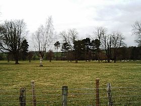 Pâturage à Ottinge
 Angleterre
 Ottinge