Nord-Odal
- Nord-Odal
-
Wikimedia Foundation.
2010.
Contenu soumis à la licence CC-BY-SA. Source : Article Nord-Odal de Wikipédia en français (auteurs)
Regardez d'autres dictionnaires:
Nord-Odal — kommune Municipality Coat of arms … Wikipedia
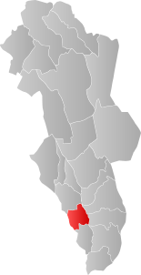
Nord-Odal — Wappen Karte … Deutsch Wikipedia
Nord-Odal — Admin ASC 2 Code Orig. name Nord Odal Country and Admin Code NO.06.0418 NO … World countries Adminstrative division ASC I-II
Storsjø (Nord-Odal) — infobox lake lake name = Storsjø image lake = Storsjoen Odal.jpg location = Nord Odal, Sør Odal (Hedmark) basin countries= Norway inflow = outflow = area = 45.61 km² elevation = 132 m residence time = shore = 105.45 km depth = max depth = volume … Wikipedia
Odal, Norway — Odal (Odalen) is a valley in the county of Hedmark in eastern Norway, encompassing the communities around lake Storsjø in the north, with the river Glåma in the south. It is part of the traditional region of Odalen. The district is currently… … Wikipedia
Nord-Troms District Court — The courthouse Nord Troms District Court (Norwegian: Nord Troms tingrett) is a district court in Tromsø, Norway. It covers Troms north of Malangen, plus Svalbard, and is subordinate Hålogaland Court of Appeal … Wikipedia
Sør-Odal — Infobox Kommune name=Sør Odal county=Hedmark idnumber=0419 landscape=Odal, Norway capital=Skarnes governor=Knut Hvithammer (Ap) governor as of=2007 arearank=203 area=517 arealand=479 areapercent=0.16 population as of=2004 populationrank=129… … Wikipedia
Sør-Odal — Wappen Karte … Deutsch Wikipedia
Øyangen (Nord-Fron) — Øyangen Location Nord Fron (Oppland) Coordinates 61°25′6″N 9°13′0″E … Wikipedia
Sør-Odal — Blason de Sør Odal Localisation de Sør Odal dans le Hedmark … Wikipédia en Français
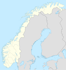
 Norvège


