Mathoura
Contenu soumis à la licence CC-BY-SA. Source : Article Mathoura de Wikipédia en français (auteurs)
Regardez d'autres dictionnaires:
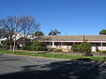
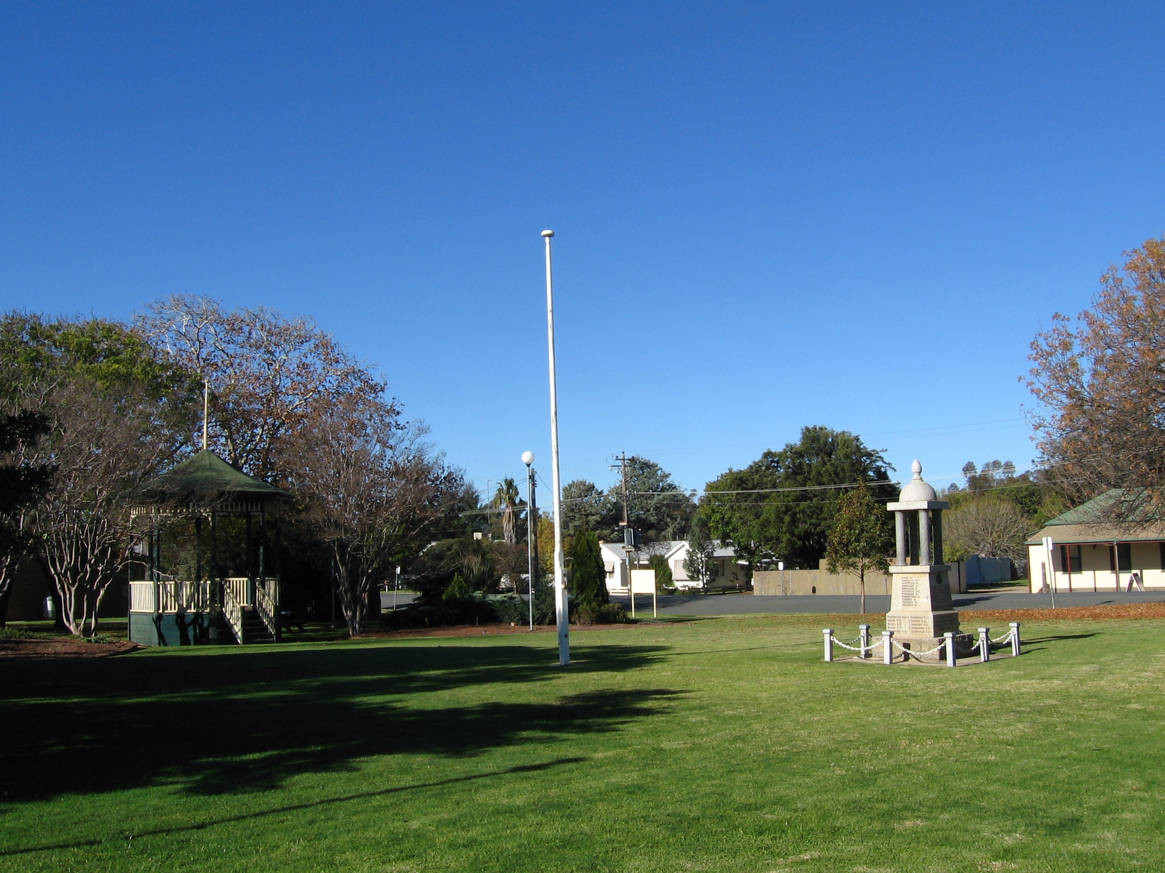
Mathoura — New South Wales Pastoral Hotel, with the Soldiers Memorial Garden and the Tattersalls Club Hotel in the background … Wikipedia
Mathoura Football Club — Mathoura Full name Mathoura Football Club Nickname(s) Timbercutters Strip Blue with a red sash Founded 1909 Sport Australian rules football League Pic … Wikipedia
Mathoura, New South Wales — Infobox Australian Place | type = town name = Mathoura state = nsw caption = Pastoral Hotel lga = Murray Shire Council postcode = 2710 est = 1860 pop = 643 (2001 census) elevation= 105 maxtemp = 22.0 mintemp = 9.1 rainfall = 437.3 county = Cadell … Wikipedia
Murray Shire — This article is about the Murray Shire in New South Wales. For the Western Australia shire, see Shire of Murray. Murray Shire New South Wales … Wikipedia
Murray Shire Council — Infobox Australian Place | type = lga name = Murray Shire state = nsw caption = Location in NSW pop = 6,604 density = 1.5 area = 4345 est = seat = Mathoura (21 25 Conargo Street) mayor = Brian Sharp region = Riverina url =… … Wikipedia
Moira, New South Wales — Moira New South Wales Moira homestead … Wikipedia
Murray Shire (New South Wales) — Shire of Murray Lage des Murray Shire in New South Wales Gliederung … Deutsch Wikipedia
Cobb Highway — Proposed to replace to replace … Wikipedia
Bunnaloo, New South Wales — Infobox Australian Place | type = town name = Bunnaloo state = nsw caption = Bunnaloo Public School lga = Murray Shire Council postcode = 2731 pop = 154 (within 7 km radius) est = elevation= maxtemp = mintemp = rainfall = county = Cadell stategov … Wikipedia
Gulpa, New South Wales — Infobox Australian Place | type = town name = Gulpa state = nsw caption = lga = postcode = 2710 coordinates = coord|35|45|41|S|144|54|1|E |scale:100000 region:AU NSW |display=title,inline pop = 30 (within 7 km radius) est = elevation= 97 maxtemp … Wikipedia
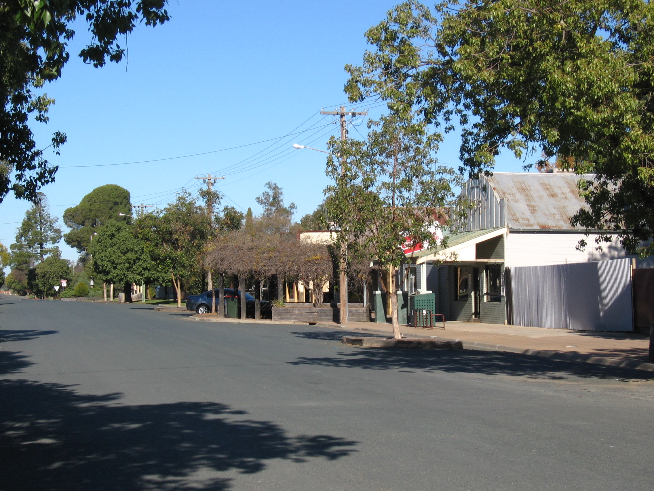
 La grand rue de Mathoura.
 Australie
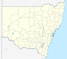
 Mathoura