Mare aux Vacoas
Contenu soumis à la licence CC-BY-SA. Source : Article Mare aux Vacoas de Wikipédia en français (auteurs)
Regardez d'autres dictionnaires:
Mare aux Vacoas — Bild gesucht BW Geographische Lage Mauritius Abfluss … Deutsch Wikipedia
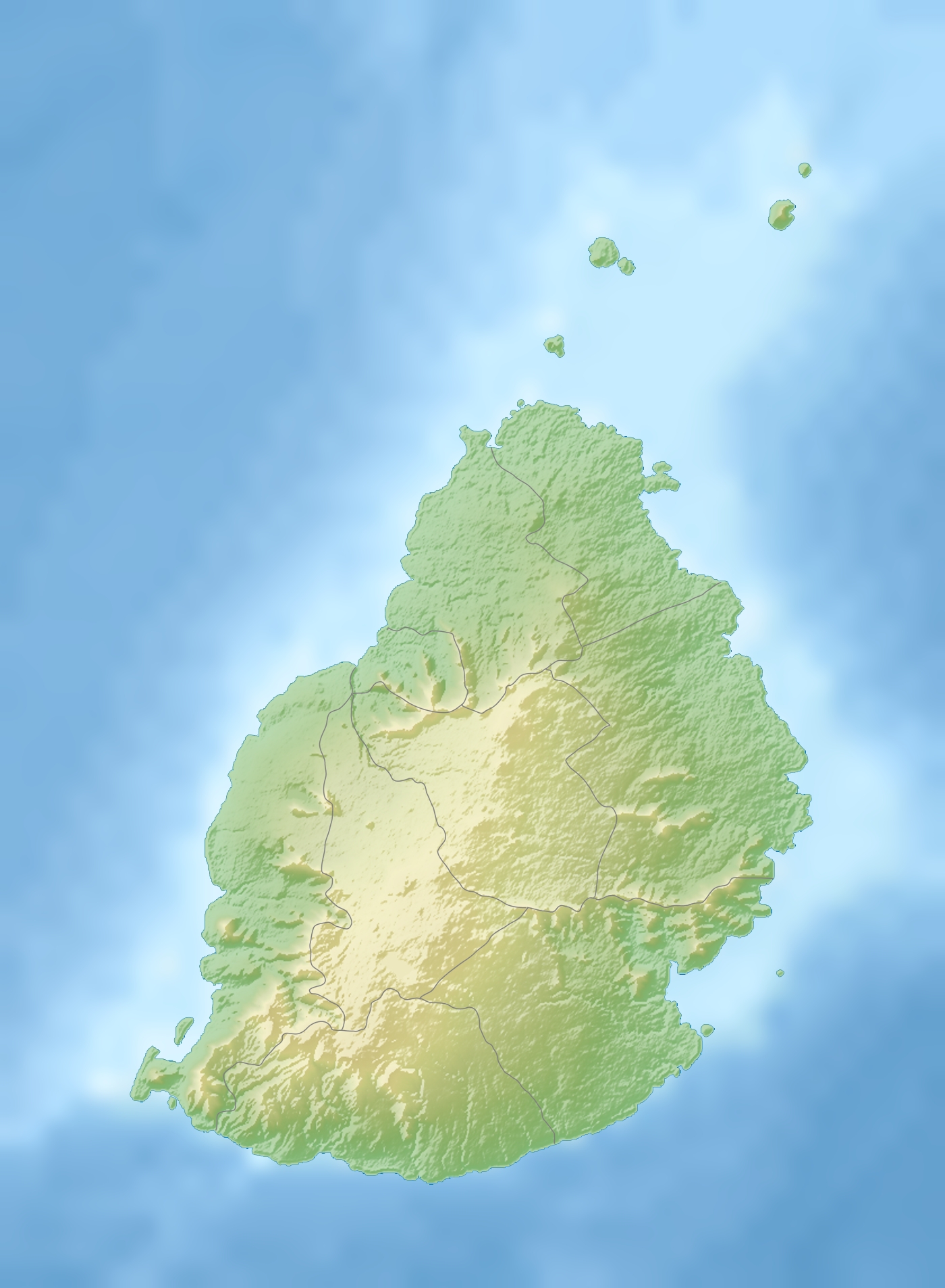
Mare aux Vacoas — is the largest reservoir in Mauritius. It is located in Plaines Wilhems, in the southwest of the island, to the south of the town of Curepipe.It has a capacity of 25.89 Mm3 and provide water to the upper Plaines Wilhems and to Moka … Wikipedia
Curepipe — Vacoas Phoenix Basisdaten Region: Plaines Wilhems Koordinaten … Deutsch Wikipedia
List of Mauritius-related topics — This is a partial list of topics related to Mauritius. Geography * Le Morne Brabant * Trou aux Cerfs Landforms Banks * Hawkins Bank * Nazareth Bank * Saya de Malha Bank * Soudan Banks Bays * Baie du Tombeau Islands * Islets of Mauritius * Agalega … Wikipedia
Mauritius Blue Pigeon — Drawing of a Mauritius Blue Pigeon from 1907. Conservation status … Wikipedia
Tamarind Falls — The Tamarind Falls or Tamarin Falls are a scenic attraction of southwest Mauritius. They are a series of seven cataracts located on the Rivière Tamarin, two kilometres northwest of the large lake Mare aux Vacoas … Wikipedia
Rivière Tamarin — is a river in southwest Mauritius. It is the outflow of the country s largest lake, Mare aux Vacoas. From there it flows west over the cascades known as the Tamarind Falls, reaching the Indian Ocean close to the city of Tamarin. its total length… … Wikipedia
Cyclone Hollanda — Tropical Cyclone Hollanda Tropical cyclone (MFR) Category 3 cyclone (SSHS) … Wikipedia
Chutes de Tamarin — Localisation Pays Maurice !Maurice Localisation Plaines Wilhems Coordonnées … Wikipédia en Français
Index alphabétique maritime — Projet:Maritime/Index Projet maritime Bistro du port Participants Actualités Agenda Outils À faire … Wikipédia en Français
 Maurice