Lovce
- Lovce
-
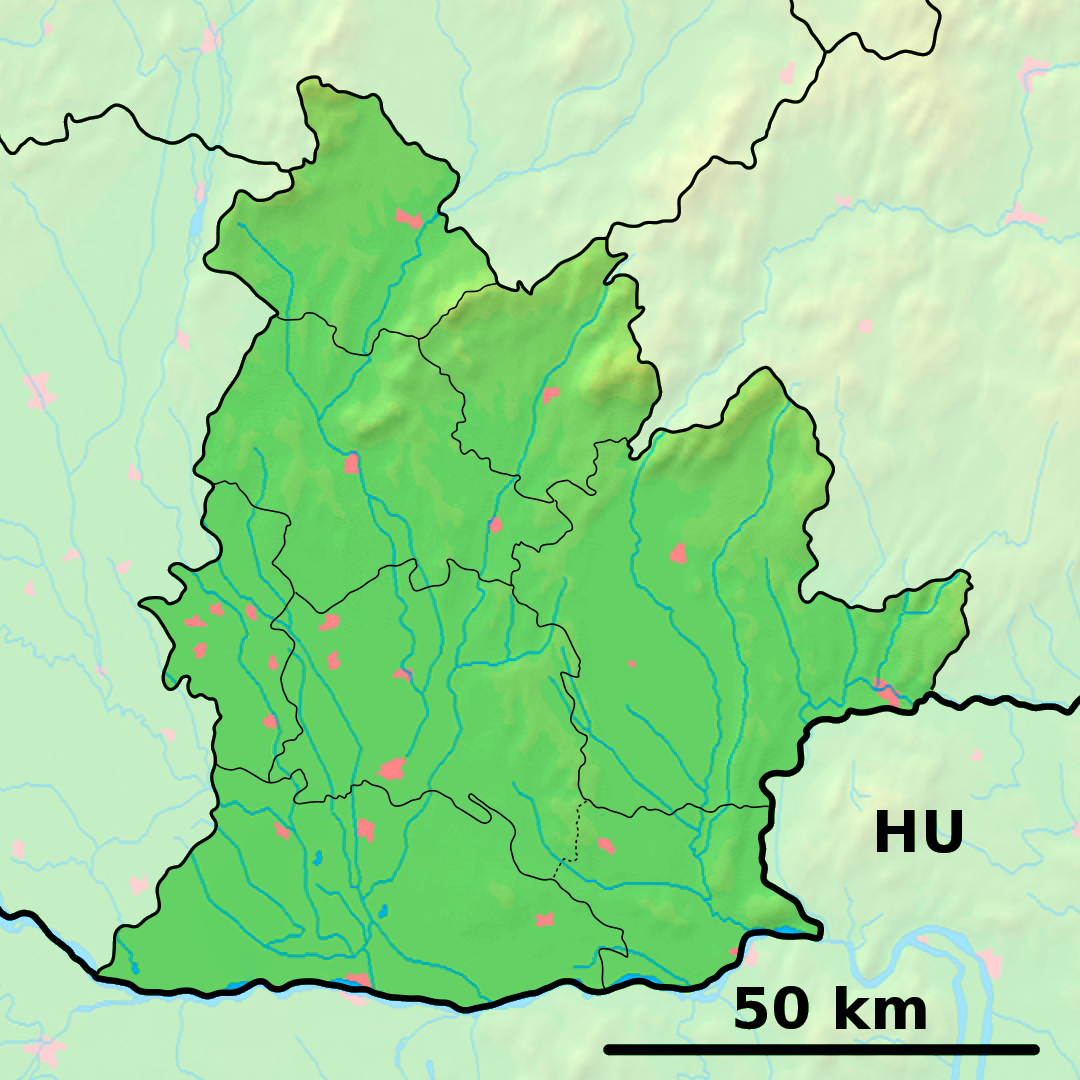
Lovce (allemand : Lotze, hongrois : Kislóc)[4] est un village de Slovaquie situé dans la région de Nitra.
Histoire
Première mention écrite du village en 1323.
Notes et références
Catégories :
- Village de Slovaquie
- Village et ville du district de Zlaté Moravce
Wikimedia Foundation.
2010.
Contenu soumis à la licence CC-BY-SA. Source : Article Lovce de Wikipédia en français (auteurs)
Regardez d'autres dictionnaires:
Lovce — is a village and municipality in Zlaté Moravce District of the Nitra Region, in western central Slovakia.HistoryIn historical records the village was first mentioned in 1323.GeographyThe municipality lies at an altitude of 270 metres and covers… … Wikipedia
Veľké Lovce — Wappen Karte … Deutsch Wikipedia
Veľké Lovce — Geobox | Settlement name = Veľké Lovce other name = category = Village map2 = obec 01.jpg image caption = symbol = Velke Lovce erb.gif etymology = official name = motto = nickname = country = Slovakia country state = region = Nitra district =… … Wikipedia
Veľké Lovce — (Village) Administration Pays Slovaquie … Wikipédia en Français
TJ Velke Lovce — TJ Veľké Lovce is a football club in Veľké Lovce, Slovakia.TJ plays the 4th league not including the Corgon Liga.It was created in 1954.A major contributor in the present is Filip Mihók … Wikipedia
Nové Zámky (Okres) — Übersichtskarten Basisdaten Okres/Bezirk Nové Zámky … Deutsch Wikipedia
Nitra Region — Coordinates: 48°18′25″N 18°05′11″E / 48.30694°N 18.08639°E / 48.30694; 18.08639 … Wikipedia
Nové Zámky District — District Country Slovakia Region ( … Wikipedia
List of municipalities and towns in Slovakia — Slovakia This is a comprehensive list of municipalities and towns in Slovakia. For lists of towns and municipalities sorted by Regions see the individual articles on Regions. For an outdated list of towns only in Slovakia see also List of towns… … Wikipedia
Chlaba — Chľaba Wappen Karte … Deutsch Wikipedia
 Slovaquie
 Lovce
Lovce