Lough Ea (Donegal)
- Lough Ea (Donegal)
-
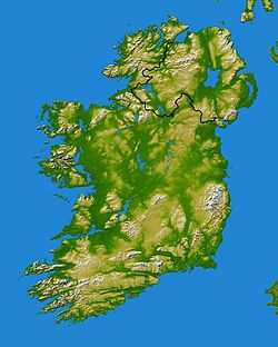
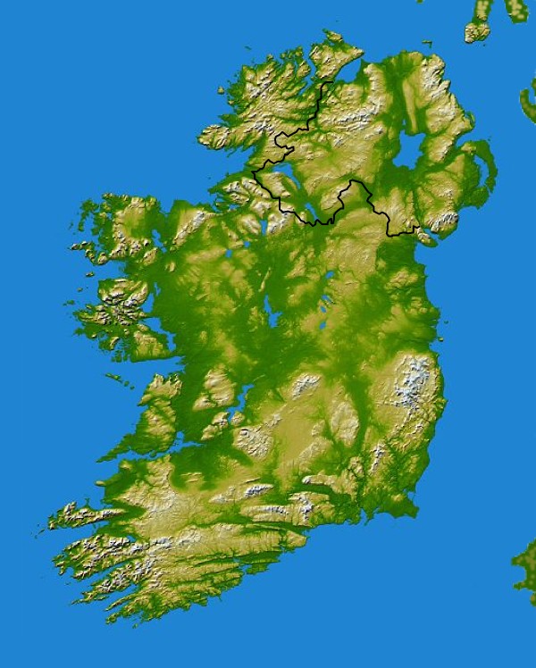
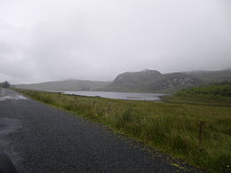
Lough Ea (en gaélique Loch Fhia[1]) est un petit lac, dans le comté de Donegal, en Irlande.
Le lac est situé sur le bord de la R253, à l'est du village de Glenties, à 180m d'altitude.
Références
Wikimedia Foundation.
2010.
Contenu soumis à la licence CC-BY-SA. Source : Article Lough Ea (Donegal) de Wikipédia en français (auteurs)
Regardez d'autres dictionnaires:
Lough Derg (Donegal) — Blick auf Station Island im Lough Derg Geographische Lage County Donegal, Irland Orte in der Nähe Pettigo … Deutsch Wikipedia
Lough Derg (Donegal) — Lough Derg Administration Pays … Wikipédia en Français
Lough Derg — is the name of two lakes in Ireland: * Lough Derg (Shannon) a large lake on the River Shannon, bordering counties Clare, Galway and Tipperary. * Lough Derg (Donegal) a small lake, a place of Christian pilgrimage … Wikipedia
Lough Derg — ist der Name folgender Seen: Lough Derg (Shannon), See in Irland im Unterlauf des Shannon Lough Derg (Donegal), See in Irland in der Region Ulster Diese Seite ist eine Begriffsklärung zur Unterscheidung mehrerer mit demse … Deutsch Wikipedia
Lough Derg — o Derg es el nombre de dos lagos irlandeses: Lough Derg (Shannon): un gran lago en el río Shannon. Lough Derg (Donegal): un pequeño lago lugar de peregrinación cristiana. Esta página de desambiguación cataloga artículos relacionados con el mismo… … Wikipedia Español
Lough Derg (Shannon) — Infobox lake lake name = Lough Derg image lake = Lough derg.jpg caption lake = Looking out towards County Clare from County Tipperary across the southern part of the lough image bathymetry = caption bathymetry = location = coords =… … Wikipedia
Donegal Corridor — Region … Wikipedia
Lough Foyle — ( Loch Feabhail in Irish) is the name given to the estuary of the River Foyle in Ulster. It starts where the Foyle leaves Derry. It separates the Inishowen Peninsula in County Donegal from County Londonderry in Northern Ireland.There is a saying … Wikipedia
Lough Swilly — Loch Súilí País República de Irlanda Provincia Condado de Donegal Coordenadas … Wikipedia Español
Lough Foyle — (irisch: Loch Feabhail) ist der Name des Ästuars des River Foyle in den Nordkanal in Ulster. Die Bucht trennt die Inishowen Halbinsel in der Republik Irland von Nordirland. Ein größerer Ort an der Nordküste des Lough Foyle ist Moville in… … Deutsch Wikipedia
 Irlande