Letničie
- Letničie
-
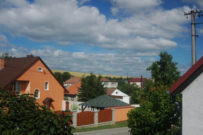
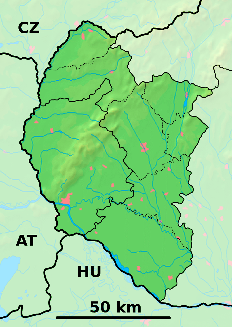
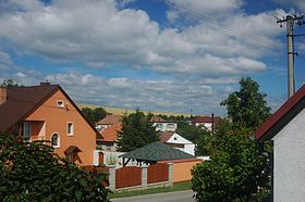
Letničie (allemand : Lettnitz )[4] est un village de Slovaquie situé dans la région de Trnava.
Histoire
Première mention écrite du village en 1532.
Notes et références
Catégories :
- Village de Slovaquie
- Village et ville du district de Skalica
Wikimedia Foundation.
2010.
Contenu soumis à la licence CC-BY-SA. Source : Article Letničie de Wikipédia en français (auteurs)
Regardez d'autres dictionnaires:
Letničie — Geobox | Settlement name = Letničie other name = category = Village image caption = symbol = etymology = official name = motto = nickname = country = Slovakia country state = region = Trnava district = Skalica commune = municipality = part =… … Wikipedia
Trnava Region — Geobox | Region name = Trnava category = Region image caption = image caption = symbol = symbol type = etymology = official name = motto = nickname = country = Slovakia country state = region = district = commune = municipality = border = part… … Wikipedia
Skalica District — Infobox Slovak district subject name = Skalica District region district slovak region = Trnava Region population = 46,757 (2001) prefix = ? area = 359 car plate = SI image location = Okres skalica.png Skalica District ( okres Skalica ) is a… … Wikipedia
Chropov — Location of Skalica District in the Trnava Region Chropov is a village and municipality in Skalica District in the Trnava Region of western Slovakia. History In historical records the village was firs … Wikipedia
List of municipalities and towns in Slovakia — Slovakia This is a comprehensive list of municipalities and towns in Slovakia. For lists of towns and municipalities sorted by Regions see the individual articles on Regions. For an outdated list of towns only in Slovakia see also List of towns… … Wikipedia
Oreské, Skalica District — Location of Skalica District in the Trnava Region Oreské is a village and municipality in Skalica District in the Trnava Region of western Slovakia. History In historical records the village was first … Wikipedia
Dubovce — Location of Skalica District in the Trnava Region Dubovce is a village and municipality in Skalica District in the Trnava Region of western Slovakia. History In historical records the village was firs … Wikipedia
Mokrý Háj — Location of Skalica District in the Trnava Region Mokrý Háj is a village and municipality in Skalica District in the Trnava Region of western Slovakia. History In historical records the village was fi … Wikipedia
Brodske — Brodské Wappen Karte … Deutsch Wikipedia
Brodské — Wappen Karte … Deutsch Wikipedia
 Slovaquie
 Letničie