Kojonup
- Kojonup
-
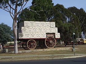
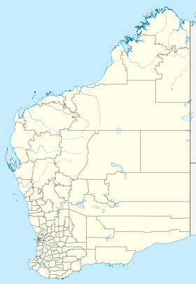
Kojonup (1 122 habitants) est un village situé à 256 km au sud-est de Perth sur l'Albany Highway. Il est le centre administratif du comté de Kojonup.
Références
Wikimedia Foundation.
2010.
Contenu soumis à la licence CC-BY-SA. Source : Article Kojonup de Wikipédia en français (auteurs)
Regardez d'autres dictionnaires:
Kojonup — 2001 angebauter Grosser Wollenwagen Kojonups Staat … Deutsch Wikipedia
Kojonup — Original name in latin Kojonup Name in other language Kojonup State code AU Continent/City Australia/Perth longitude 33.8305 latitude 117.15946 altitude 336 Population 1257 Date 2012 02 28 … Cities with a population over 1000 database
Kojonup — Admin ASC 2 Code Orig. name Kojonup Country and Admin Code AU.08.54550 AU … World countries Adminstrative division ASC I-II
Kojonup Reserve — is a 3.89 km2 nature reserve in south west Western Australia. It is 30 km north east of Kojonup, 196 km north west of Albany and 270 km south east of Perth. It is owned and managed by Bush Heritage Australia (BHA), by which it was purchased in… … Wikipedia
Kojonup, Western Australia — Infobox Australian Place | type = town name = Kojonup state = wa caption = lga = Shire of Kojonup postcode = 6395 est = 1845 pop = 1,122 (2006 Census) [Census 2006 AUS|id=UCL513400|name=Kojonup (Urban Centre/Locality)|quick=on|accessdate=2008 09… … Wikipedia
Kojonup Shire — Shire of Kojonup Lage des Kojonup Shire in Westaustralien Gliederung … Deutsch Wikipedia
Kojonup — /ˈkoʊdʒənʌp/ (say kohjuhnup) noun a town in south western WA, south west of Katanning …
Shire of Kojonup — Infobox Australian Place | type = lga name =Shire of Kojonup state =wa region =Great Southern area =2932.2 est =1871 seat =Kojonup pop =2,152 (2006 census) imagesize= 180 caption = Location in Western Australia logo = logosize = url… … Wikipedia
Comte de Kojonup — Comté de Kojonup Comté de Kojonup Géographie État : Australie Occidentale Région … Wikipédia en Français
Comté de Kojonup — 33° 50′ 00″ S 117° 09′ 00″ E / 33.8333, 117.15 … Wikipédia en Français
 Kojonup
 Australie

