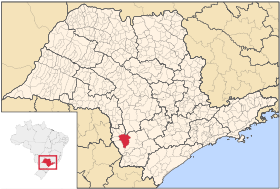
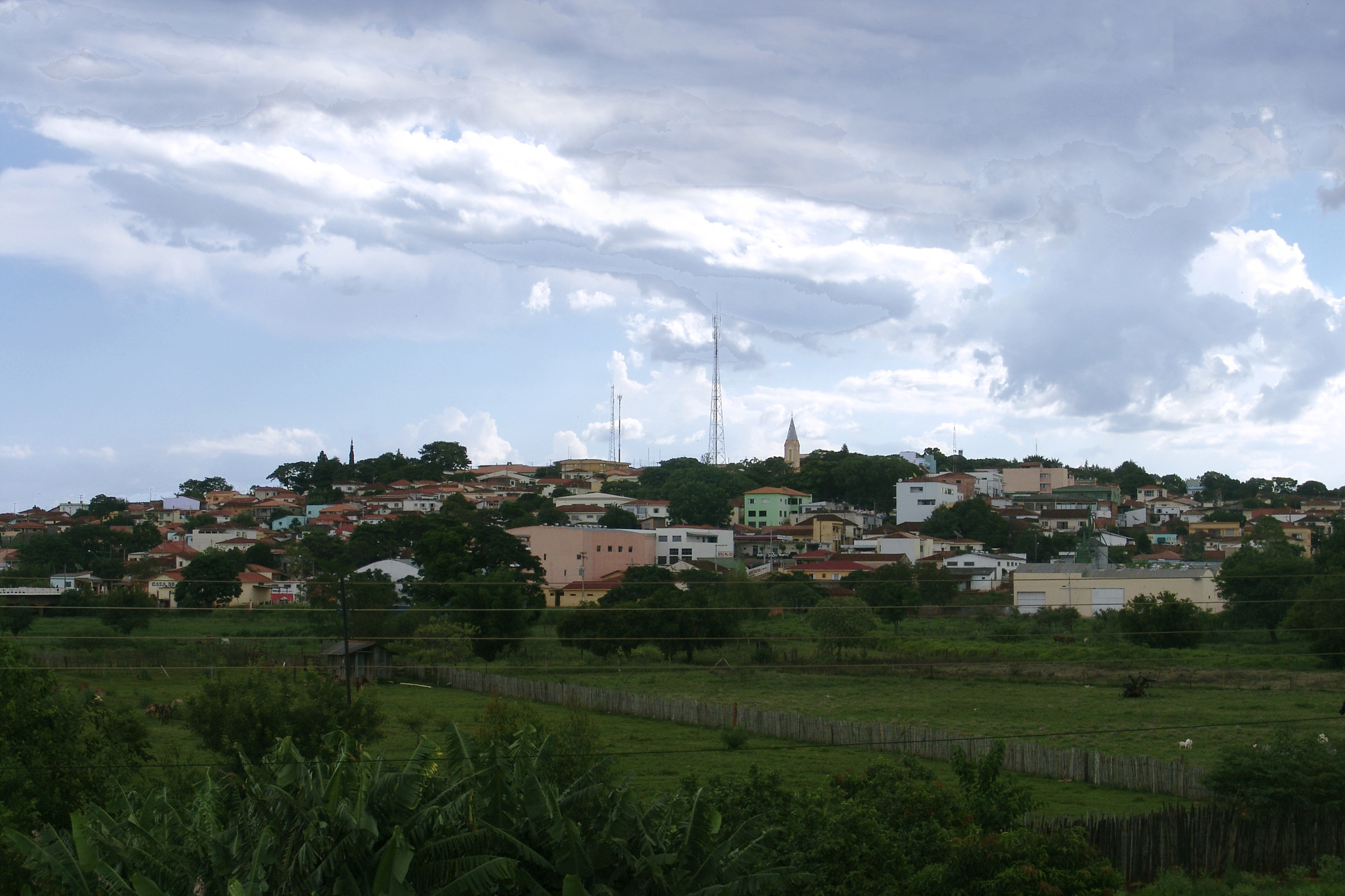
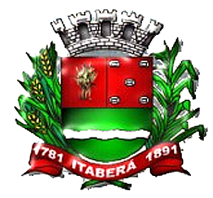
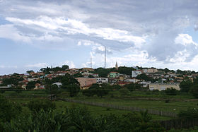
Itaberá
Contenu soumis à la licence CC-BY-SA. Source : Article Itaberá de Wikipédia en français (auteurs)
Regardez d'autres dictionnaires:
Itaberá — is a municipality in the state of São Paulo in Brazil. The population in 2004 is 19,430 and the area is 1085.3 km². The elevation is 651 m. This place name comes from the Tupi language, meaning Ita = stone; Berá = that shines … Wikipedia
Itabera — Admin ASC 2 Code Orig. name Itaberá Country and Admin Code BR.27.3521705 BR … World countries Adminstrative division ASC I-II
Itabera — Original name in latin Itaber Name in other language State code BR Continent/City America/Sao Paulo longitude 23.86194 latitude 49.13722 altitude 625 Population 11097 Date 2012 08 03 … Cities with a population over 1000 database
Итабера — Муниципалитет Итабера Itaberá Герб … Википедия
Apagón eléctrico de Brasil y Paraguay de 2009 — Saltar a navegación, búsqueda Vista nocturna de la Represa Hidroeléctrica de Itaipú, ubicada entre Brasil y Paraguay. Un gran apagón eléctrico (blecaute en portugués, del inglés blackout) tuvo lugar … Wikipedia Español
Municipios de São Paulo — Contenido 1 Mesoregiones y Microregiones 1.1 Mesorregión de Araçatuba 1.1.1 Microrregión de Andradina 1.1.2 Microrregión de Araçatuba … Wikipedia Español
Муниципалитеты штата Сан-Паулу — … Википедия
List of municipalities in São Paulo — Municipalities of São Paulo This is a list of the municipalities in the state of São Paulo (SP), Brazil. Mesoregion Microregion Municipality Araçatuba Andradina Andradina … Wikipedia
Cerquilho — Coordinates: 23°09′54″S 47°44′37″W / … Wikipedia
Cesário Lange — Coordinates: 23°13′36″S 47°57′11″W / 23.22667°S 47.95306°W / 23.22667; 47.95306 Cesário Lange is a municipality in the state … Wikipedia

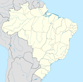
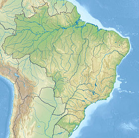
 Brésil