Hubina
- Hubina
-
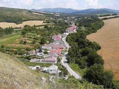
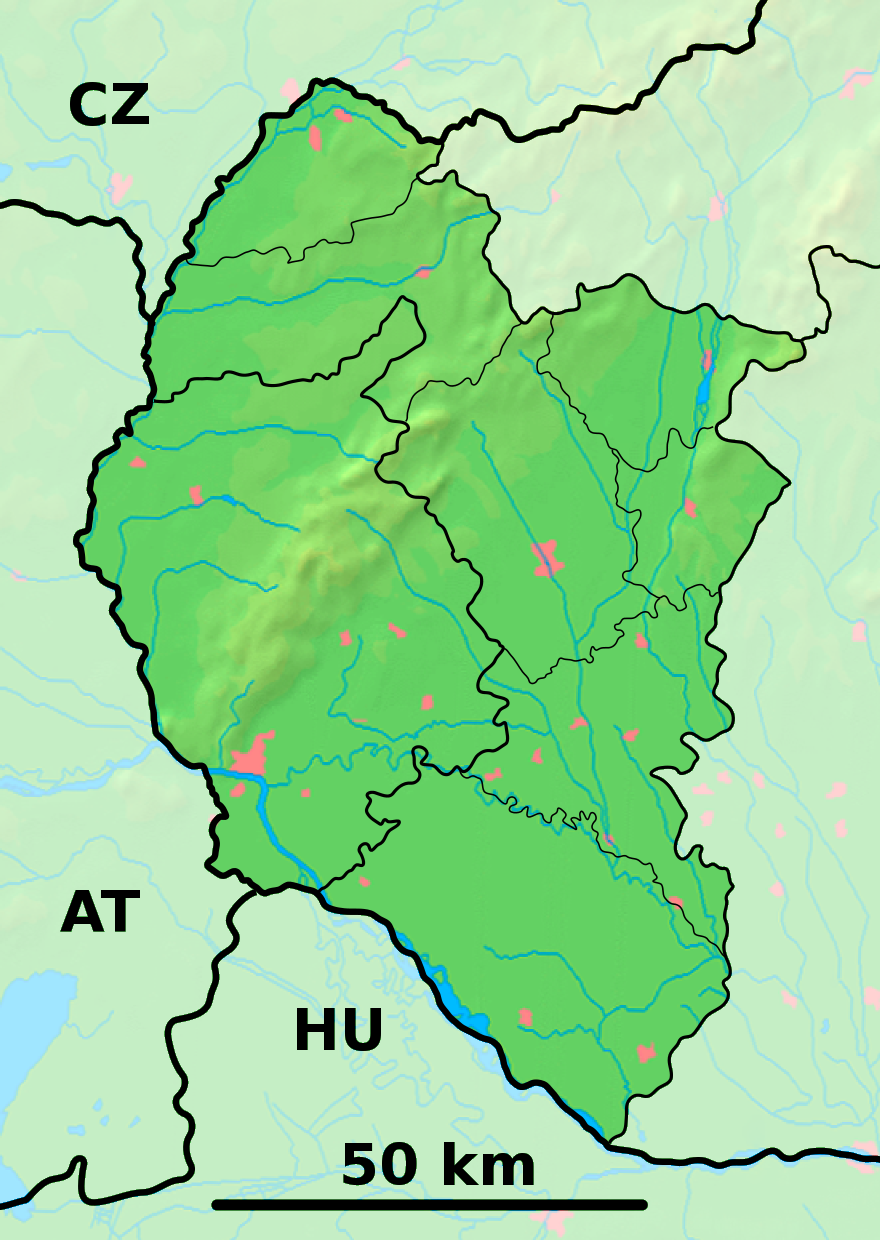
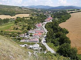
Hubina est un village de Slovaquie situé dans la région de Trnava.
Histoire
Première mention écrite du village en 1353.
Notes et références
Catégories :
- Village de Slovaquie
- Village et ville du district de Piešťany
Wikimedia Foundation.
2010.
Contenu soumis à la licence CC-BY-SA. Source : Article Hubina de Wikipédia en français (auteurs)
Regardez d'autres dictionnaires:
Hubina — Geobox | Settlement name = Hubina other name = category = Village image caption = symbol = etymology = official name = motto = nickname = country = Slovakia country state = region = Trnava district = Piešťany commune = municipality = part = river … Wikipedia
List of German exonyms for places in the Czech Republic — Below are links to subpages with more detailed listings of the German language names of towns and villages in different regions of the Czech Republic. Many of these German names are now exonyms, but used to be endonyms commonly used by the local… … Wikipedia
Liste deutscher Bezeichnungen tschechischer Orte — In dieser Liste werden deutschen (heute großteils nicht mehr geläufigen) topografischen Namen die tschechischen, amtlichen Pendants gegenübergestellt. Durch die Vertreibungen nach 1945 wurden viele kleinere Orte und Gehöfte, insbesondere in… … Deutsch Wikipedia
Slovakia — This article is about the European country. For other uses, see Slovakia (disambiguation). Slovak Republic Slovenská republika … Wikipedia
History of Slovakia — This article discusses the history of the territory of Slovakia. Prehistory Palaeolithic Radiocarbon dating puts the oldest surviving archaeological artifacts from Slovakia found near Nové Mesto nad Váhom at 270,000 BCE, in the Early Paleolithic… … Wikipedia
Trnava Region — Geobox | Region name = Trnava category = Region image caption = image caption = symbol = symbol type = etymology = official name = motto = nickname = country = Slovakia country state = region = district = commune = municipality = border = part… … Wikipedia
Ducové — Coordinates: 48°37′40″N 17°52′05″E / 48.62778°N 17.86806°E / 48.62778; 17.86806 … Wikipedia
Piešťany District — District Country Slovakia … Wikipedia
List of municipalities and towns in Slovakia — Slovakia This is a comprehensive list of municipalities and towns in Slovakia. For lists of towns and municipalities sorted by Regions see the individual articles on Regions. For an outdated list of towns only in Slovakia see also List of towns… … Wikipedia
Drahovce — Location of Piešťany District in the Trnava Region Drahovce is a village and municipality in Piešťany District in the Trnava Region of western Slovakia. History In historical records the village was … Wikipedia
 Slovaquie
 Hubina