Hencovce
- Hencovce
-
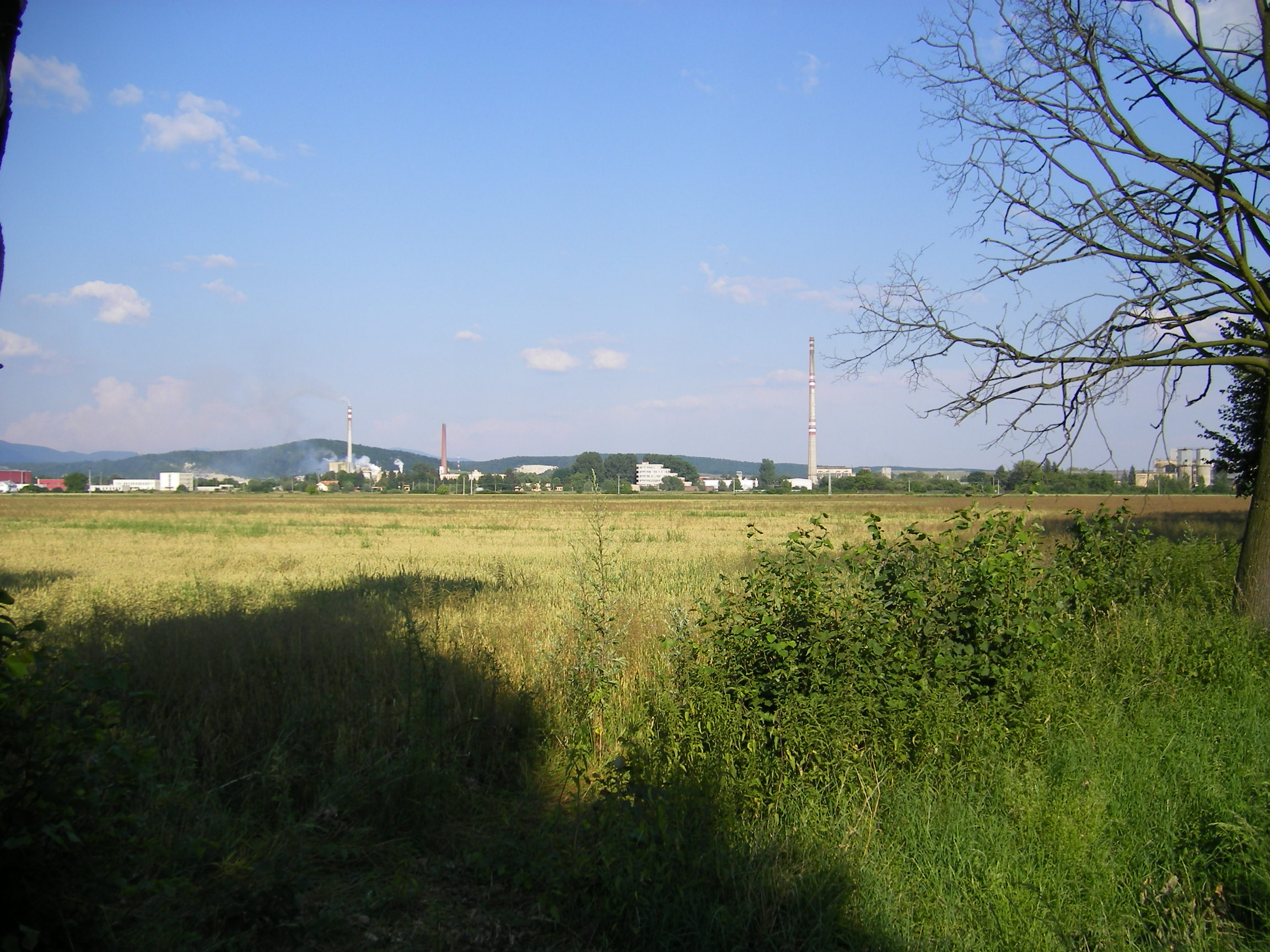
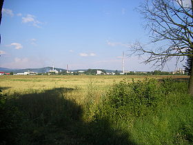
Hencovce (allemand : Hinzendorf bei Fröhnel est un village de Slovaquie situé dans la région de Prešov.
Histoire
Première mention écrite du village en 1372.
Notes et références
Catégories :
- Village de Slovaquie
- Village et ville du district de Vranov nad Topľou
Wikimedia Foundation.
2010.
Contenu soumis à la licence CC-BY-SA. Source : Article Hencovce de Wikipédia en français (auteurs)
Regardez d'autres dictionnaires:
Hencovce — is a village and municipality in Vranov nad Topľou District in the Prešov Region of eastern Slovakia.HistoryIn historical records the village was first mentioned in 1372.GeographyThe municipality lies at an altitude of 123 metres and covers an… … Wikipedia
Nizny Hrabovec — Nižný Hrabovec Wappen Karte … Deutsch Wikipedia
Nižný Hrabovec — Wappen Karte … Deutsch Wikipedia
Prešov Region — Geobox | Region name = Prešov category = Region image caption = image caption = symbol = symbol type = etymology = official name = motto = nickname = country = Slovakia country state = region = district = commune = municipality = border = part… … Wikipedia
Vranov nad Topľou District — Infobox Slovak district subject name = Vranov nad Topľou District region district slovak region = Prešov Region population = 76,504 (2001) prefix = ? area = 769 car plate = VT image location = Okres vranov.png Vranov nad Topľou District ( okres… … Wikipedia
Nižný Hrabovec — Location of Vranov nad Topľou District in the Nižný Hrabovec (Hungarian: Alsógyertyán; earlier i.a.: Slovak Nižssí Hrabowec/Hungarian Alsóhrabóc) is a village and municipality in the Vranov nad Topľou District in the Prešov Region of Slovakia … Wikipedia
List of municipalities and towns in Slovakia — Slovakia This is a comprehensive list of municipalities and towns in Slovakia. For lists of towns and municipalities sorted by Regions see the individual articles on Regions. For an outdated list of towns only in Slovakia see also List of towns… … Wikipedia
Davidov (municipality) — Location of Vranov nad Topľou District Davidov is a village and municipality in the Vranov nad Topľou District in the Prešov Region of Slovakia … Wikipedia
Čičava — Location of Vranov nad Topľou District in the Prešov Region. Čičava is a village and municipality in Vranov nad Topľou District in the Prešov Region of eastern Slovakia. History In historical records t … Wikipedia
Čierne nad Topľou — Location of Vranov nad Topľou District in the Prešov Region. Čierne nad Topľou is a village and municipality in Vranov nad Topľou District in the Prešov Region of eastern Slovakia. History In historical re … Wikipedia
 Slovaquie
 Hencovce