Hell's Gate
- Hell's Gate
-
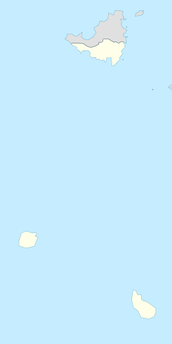
Hell's Gate est un des quatre villages de l'île antillaise de Saba, elle-même étant considérée une municipalité à statut particulier des Pays-Bas. Construite sur un terrain particulièrement accidentée, elle suit les méandres de l'unique route de l'île depuis l'aéroport Juancho E. Yrausquin et est subdivisée en deux parties inégales : Lower et Upper Hell's Gate.
Histoire
Le village fut renommé Zion's Hill par le gouvernement local après que l'Église locale se soit plainte de la dénomination à caractère religieux. Cependant, les Sabins ainsi que les touristes utilisent toujours l'ancienne dénomination.
Wikimedia Foundation.
2010.
Contenu soumis à la licence CC-BY-SA. Source : Article Hell's Gate de Wikipédia en français (auteurs)
Regardez d'autres dictionnaires:
Hell's-Gate-Nationalpark — Hell’s Gate National Park IUCN Kategorie II … Deutsch Wikipedia
Hell's Gate National Park — Hell’s Gate National Park IUCN Kategorie II … Deutsch Wikipedia
Hell’s-Gate-Nationalpark — Hell’s Gate National Park IUCN Kategorie II … Deutsch Wikipedia
Hell's Gate, Saba — Hell s Gate is the first town one reaches on the Caribbean island of Saba in the Netherlands Antilles after leaving the Juancho E. Yrausquin Airport, the smallest commercial airport in the world. Hell s Gate is home to the Holy Rosary Church, a… … Wikipedia
Hell's Gate National Park — Infobox Protected area name = Hell s Gate National Park iucn category = II caption = Location of Hell s Gate National Park base width = 250 locator x = 95 locator y = 180 location = Rift Valley Province, Kenya nearest city = Nairobi lat degrees … Wikipedia
Parc national de Hell's Gate — Vu du parc national Catégorie UICN II (parc national) Identifiant 7506 … Wikipédia en Français
Upper Hell's Gate — Original name in latin Upper Hell s Gate Name in other language Hellsgate State code BQ Continent/City America/Kralendijk longitude 17.643 latitude 63.22649 altitude 195 Population 2810 Date 2011 02 05 … Cities with a population over 1000 database
Hell Gate Bridge — Carries Amtrak Northeast Corridor rail line (2 tracks); CSX Transportation/Canadian Pacific (Delaware Hudson) freight rail line (1 track) … Wikipedia
Hell Gate — is a narrow tidal strait in the East River in New York City in the United States. It separates Astoria, Queens from Randall s Island / Ward s Island (formerly two separate islands that are now joined by landfill).Kenneth T. Jackson: The… … Wikipedia
Hell in popular culture — Hell is a common theme entertainment and popular culture, particularly in the Horror and Fantasy genres where it is often used as a location. [cite book last = Clute first = John authorlink = coauthors = John Grant title = The Encyclopedia of… … Wikipedia

 Pays-Bas


