Hanková
- Hanková
-
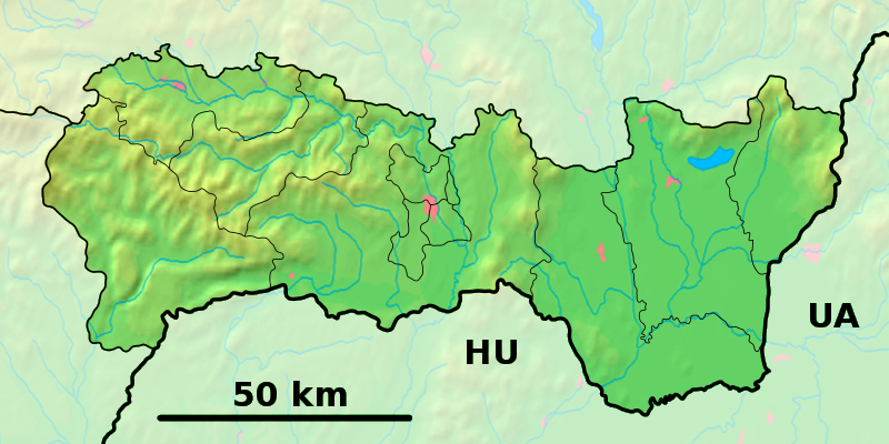
Hanková (allemand : Henkendorf bei Dobschau , est un village de Slovaquie situé dans la région de Košice.
Histoire
Première mention écrite du village en 1556.
Notes et références
Catégories :
- Village de Slovaquie
- Village et ville du district de Rožňava
Wikimedia Foundation.
2010.
Contenu soumis à la licence CC-BY-SA. Source : Article Hanková de Wikipédia en français (auteurs)
Regardez d'autres dictionnaires:
Hanková — is a village and municipality in the Rožňava District in the Košice Region of middle eastern Slovakia.HistoryIn historical records the village was first mentioned in 1556.GeographyThe village lies at an altitude of 490 metres and covers an area… … Wikipedia
Pavel Jozef Šafárik — ( Safáry / Schaffáry / Schafary / Saf(f)arik / Šafarík / Szafarzik , Czech Pavel Josef Šafařík, modern Slovak Pavol Jozef Šafárik , German Paul Joseph Schaffarik , Latin Paulus Josephus Schaffarik , Hungarian Pál József Saf(f)arik ) (13 May 1795… … Wikipedia
District de Rožňava — Rožňava Informations Pays … Wikipédia en Français
Košice Region — Geobox | Region name = Košice other name = category = Region image caption = image caption = symbol = symbol type = Coat of arms etymology = official name = motto = nickname = country = Slovakia country state = region = district = commune =… … Wikipedia
Dobšiná — Coordinates: 48°49′14″N 20°21′57″E / 48.82056°N 20.36583°E / 48.82056; 20.36583 … Wikipedia
Rožňava District — District Country Slovakia Region ( … Wikipedia
List of municipalities and towns in Slovakia — Slovakia This is a comprehensive list of municipalities and towns in Slovakia. For lists of towns and municipalities sorted by Regions see the individual articles on Regions. For an outdated list of towns only in Slovakia see also List of towns… … Wikipedia
Drnava — Location of Rožňava District in the Košice Region Drnava (Hungarian: Dernő) is a village and municipality in the Rožňava District in the Košice Region of eastern Slovakia … Wikipedia
Čierna Lehota, Rožňava District — Location of Rožňava District in the Košice Region Čierna Lehota (Hungarian: Szabados) is a village and municipality in the Rožňava District in the Košice Region of eastern Slovakia … Wikipedia
Čoltovo — Location of Rožňava District in the Košice Region Čoltovo (Hungarian: Csoltó) is a village and municipality in the Rožňava District in the Košice Region of eastern Slovakia … Wikipedia
 Slovaquie
 Hanková