Gundaroo
- Gundaroo
-
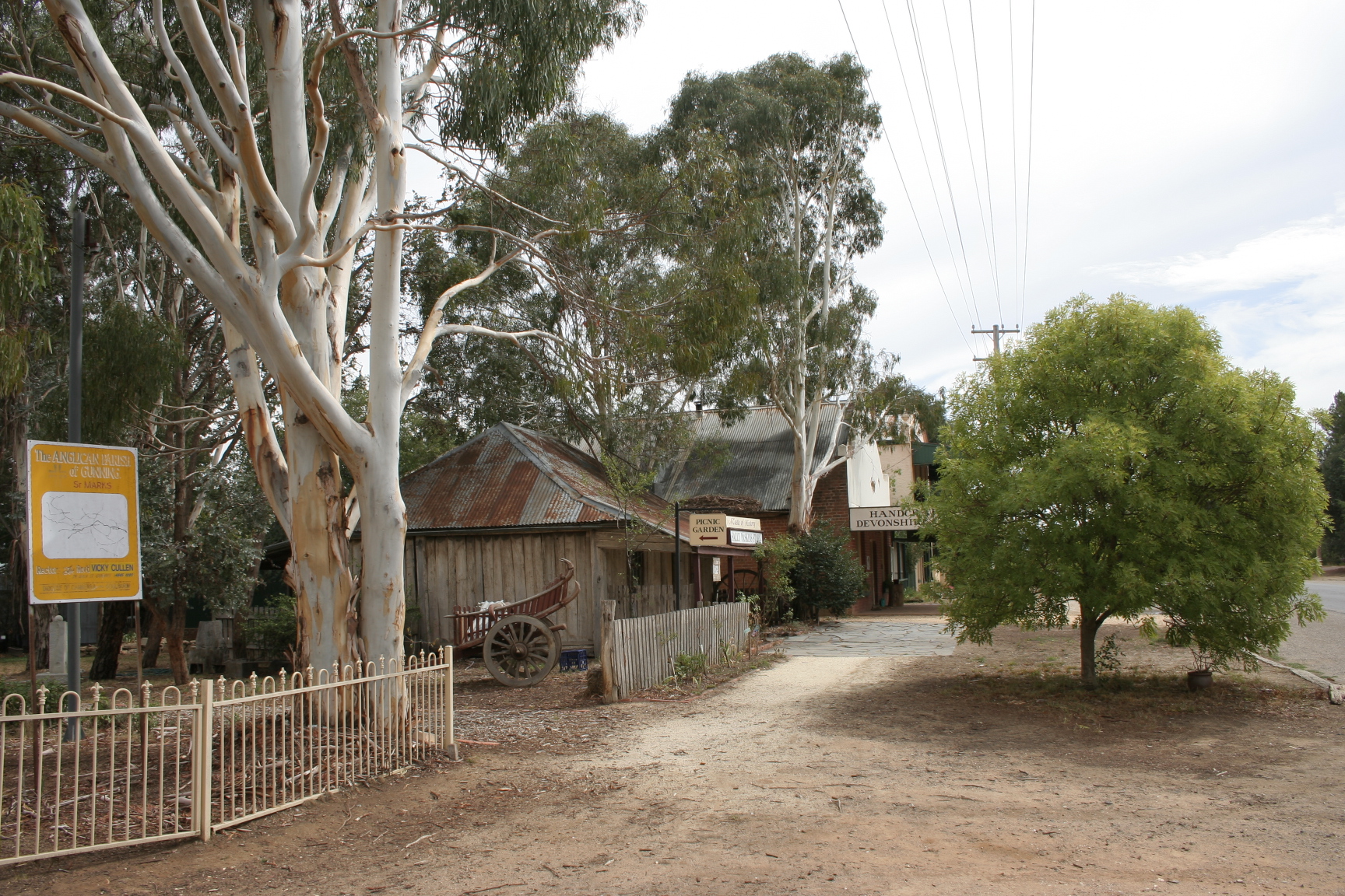
Gundaroo (331 habitants) est une localité de Nouvelle-Galles-du-Sud en Australie à 272 km au sud-ouest de Sydney et à 39 au nord de Canberra.
Lien externe
Sur les autres projets Wikimedia :
Wikimedia Foundation.
2010.
Contenu soumis à la licence CC-BY-SA. Source : Article Gundaroo de Wikipédia en français (auteurs)
Regardez d'autres dictionnaires:
Gundaroo — Original name in latin Gundaroo Name in other language Gundaroo, Gundaru, Gunderoo, Гундару State code AU Continent/City Australia/Sydney longitude 35.03333 latitude 149.25 altitude 578 Population 1441 Date 2012 01 18 … Cities with a population over 1000 database
Gundaroo, New South Wales — Gundaroo is a small village in the Southern Tablelands of New South Wales, Australia and in Yass Valley Shire. It is situated to the east of the Yass River, about 16 kilometres north of Sutton, about 15 km west of the Lake George range. It has a… … Wikipedia
Gundaroo Colonial Inn — (Gundaroo,Австралия) Категория отеля … Каталог отелей
Gundaroo bullock — noun Baked koala, as a food dish. In the 1890s Gundaroo Bullock was the name given to baked koala, mdash; Bill Beatty, Tales of Old Australia, National Distributors, ISBN 1 86436 013 5, page 14 <! no publication year given for this edition,… … Wiktionary
Barton Highway — Carte routière de Nouvelle Galles du Sud. La Barton Highway est la nationale 25 La Barton Highway (Nationale 25) est un tronçon routier orienté grossièrement nord sud et long de 62 km situé en Nouvelle Galles du Sud et dans le Territoire de la… … Wikipédia en Français
Hume Highway — Hume Freeway Proposed … Wikipedia
Murrumbateman, New South Wales — Murrumbateman New South Wales … Wikipedia
Gunning, New South Wales — Infobox Australian Place | type = town name = Gunning state = nsw caption = Gunning s main street lga = Upper Lachlan Shire postcode = 2581 est = pop = 487 (2006) elevation= maxtemp = mintemp = rainfall = stategov = Burrinjuck fedgov = Hume dist1 … Wikipedia
Dalton, New South Wales — Dalton New South Wales Dalton hotel … Wikipedia
Forde, Australian Capital Territory — Infobox Australian Place | type = suburb name = Forde city = Canberra state = Australian Capital Territory lga = Gungahlin ACTgov = Molonglo fedgov = Fraser est = postcode = 2914 pop = propval = near nw = Bonner near n = Bonner near ne = near w … Wikipedia
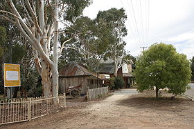 La grand'rue de Gundaroo
 Australie
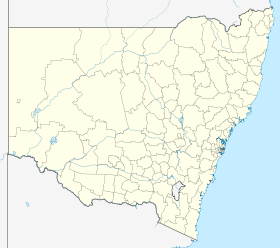
 Gundaroo