Glenthompson
Contenu soumis à la licence CC-BY-SA. Source : Article Glenthompson de Wikipédia en français (auteurs)
Regardez d'autres dictionnaires:
Glenthompson, Victoria — Infobox Australian Place | type = town name = Glenthompson state = vic caption = Location of Glenthompson in Victoria (red) lga = Shire of Southern Grampians postcode = 3293 est = pop = 274 elevation= maxtemp = mintemp = rainfall = stategov =… … Wikipedia
Mininera & District Football League — The Mininera District Football League is based in South western Victoria, with clubs located east of Hamilton, south of Ararat and west of Colac. The league absorbed several teams from the defunct Ararat District Football Association in 2000.… … Wikipedia
Dunkeld, Victoria — Dunkeld Victoria The Royal Mail Hotel with the Grampians in the background … Wikipedia
Shire of Mount Rouse — Infobox Australian Place | type = lga name = Shire of Mount Rouse state = vic region = area = 1407 est = 1860 seat = Penshurst pop = 2350 (1992) [cite book|title=Victorian Year Book|author=Australian Bureau of Statistics, Victoria… … Wikipedia
Djab Wurrung — Regions with significant populations Ararat, Stawell and Hamilton Languages Djab wurrung, English … Wikipedia
Wonthaggi desalination plant — Wonthaggi desalination plant … Wikipedia
Coleraine, Victoria — Coleraine Victoria View of town from Peter Francis Points Arboretum … Wikipedia
List of Australian rules football clubs in Australia — This is a list of clubs that play Australian rules football at the senior level.Guide to abbreviations: *FC = Football Club *AFC = Australian Football Club (mainly used if in Queensland or NSW or not in Australia) or Amateur Football Club (mainly … Wikipedia
Pyrenees Highway — Infobox Australian Road road name = Pyrenees Highway route route route photo = caption = Formerly length = 206 direction = East West start = finish = est = through = Chewton, Castlemaine, Newstead, Moolort, Maryborough, Bung Bong, Avoca,… … Wikipedia
Glenelg Highway — Infobox Australian Road road name = Glenelg Highway route route route photo = caption = Known as Casterton Road in South Australia. Formerly length = 304 direction = East West start = finish = est = through = Skipton, Lake Bolac, Glenthompson,… … Wikipedia
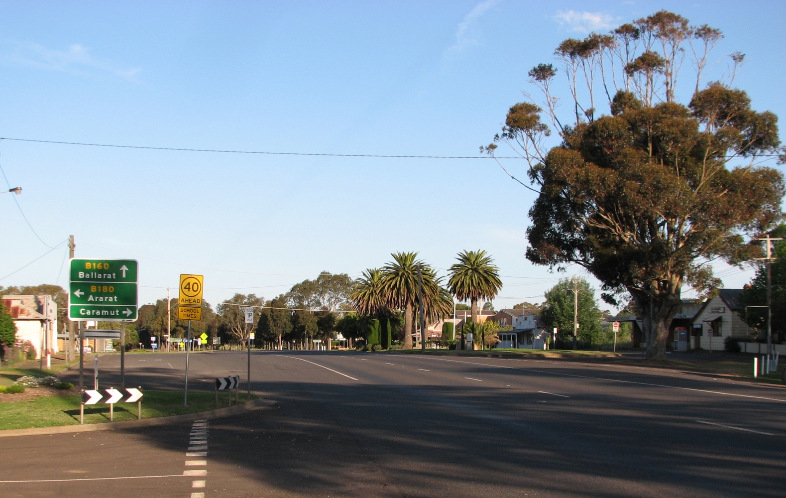
 La grand'rue de Glenthompson
 Australie