Girgarre
Contenu soumis à la licence CC-BY-SA. Source : Article Girgarre de Wikipédia en français (auteurs)
Regardez d'autres dictionnaires:
Girgarre Football Club — was established in 1920 as a junior team and first made a senior team in 1932 in the Kyabram District Football Association. Girgarre is a small town in North Eastern Victoria. The club is known as the Kangaroos .Premierships: *1952 (Kyabram… … Wikipedia
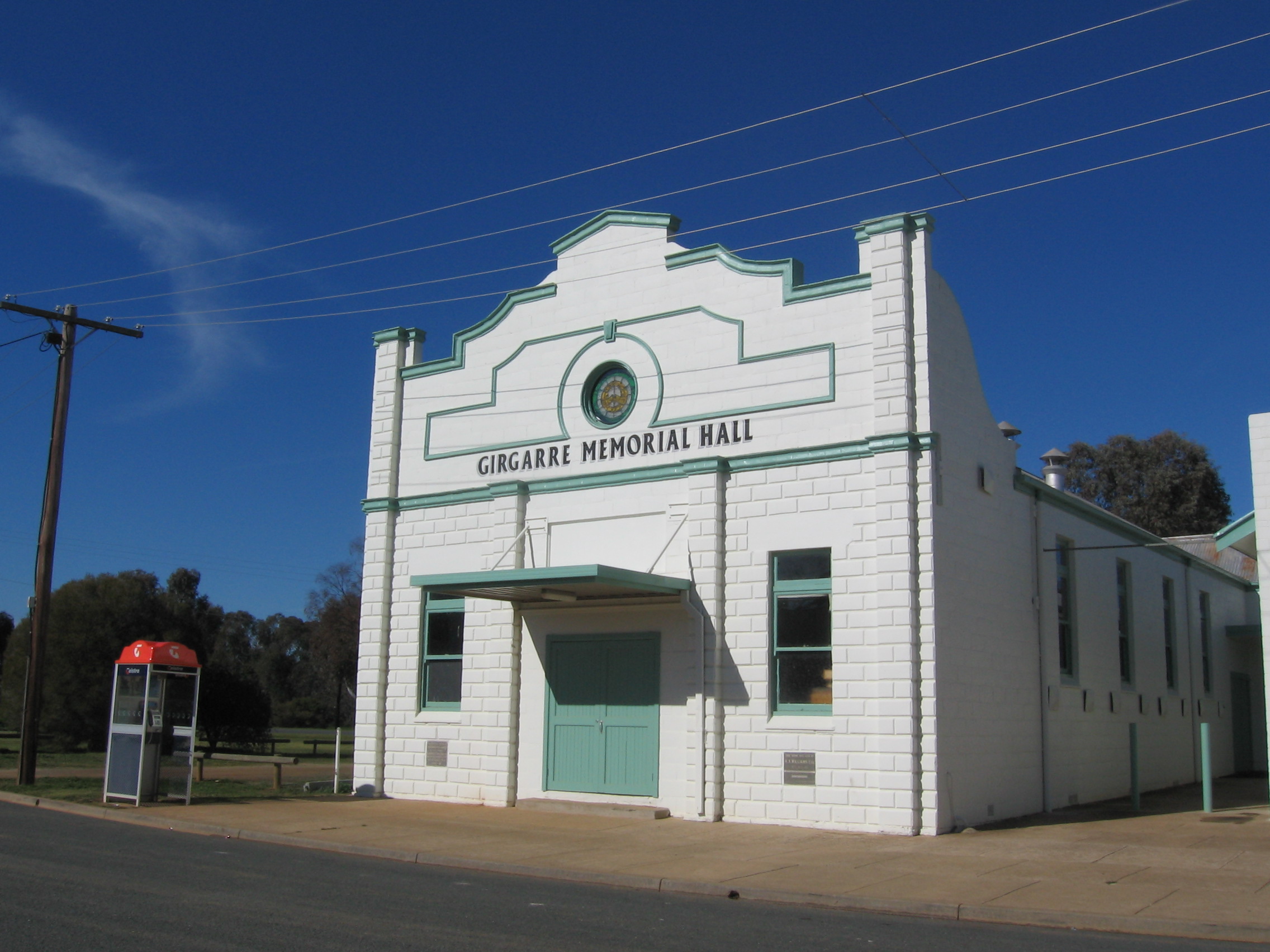
Girgarre, Victoria — Infobox Australian Place name = Girgarre caption =Memorial Hall state = vic type = town lga = Shire of Campaspe est = postcode = 3624 pop = 633 (2006)Census 2006 AUS | id = SSC25643 | name = Girgarre (State Suburb) | accessdate = 2007 10 01 |… … Wikipedia
Kyabram & District Football League — The Kyabram District Football League (KDFL) is an Australian rules football league in Victoria. It is made up of 12 teams following Yea s departure in 2007 to join the Yarra Valley Mountain League. The KDFL is made up of smaller country town… … Wikipedia
Kyabram, Victoria — Infobox Australian Place | type = town name = Kyabram state = vic caption = Main street lga = Shire of Campaspe postcode = 3620 pop = 7108 (2006)Census 2006 AUS | id = SSC25925 | name = Kyabram (State Suburb) | accessdate = 2007 10 01 | quick =… … Wikipedia
Midland Highway (Victoria) — This article is about the highway in Victoria, Australia. For the highway in Tasmania, Australia, see Midland Highway (Tasmania). Midland Highway … Wikipedia
County of Rodney — Infobox Australian cadastral name = Rodney state = Victoria caption = Location in Victoria est = 24 Feb 1871 area = 4400 near nw = Gunbower near n = Cadell (NSW) near ne = Moira near e = Moira near se = Moira near s = Dalhousie near sw = Bendigo… … Wikipedia
List of localities in Victoria (Australia) — Map of Local Government Areas in Victoria This is a list of locality names and populated place names in the state of Victoria, Australia, outside the Melbourne metropolitan area. It is organised by region from the south west of the state to the… … Wikipedia
County of Rodney, Victoria — Rodney Victoria Location in Victoria Established: 24 February 1871 Area: 4400 km² … Wikipedia
H. J. Heinz Company — HNZ redirects here. For the New Zealand crown agent, see Housing New Zealand. H. J. Heinz Company Type Public Traded as NYSE: … Wikipedia
Shire of Campaspe — Infobox Australian Place | type = lga name = Campaspe Shire state = vic caption = Location in Victoria pop = 36,209 (2006 Census) area = 4517 est = seat = Echuca mayor = John Elborough region = url = http://www.campaspe.vic.gov.au/ stategov =… … Wikipedia
 Le Memorial Hall de Girgarre
 Australie