Gerrard Street (Toronto)
- Gerrard Street (Toronto)
-
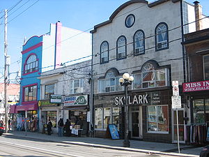
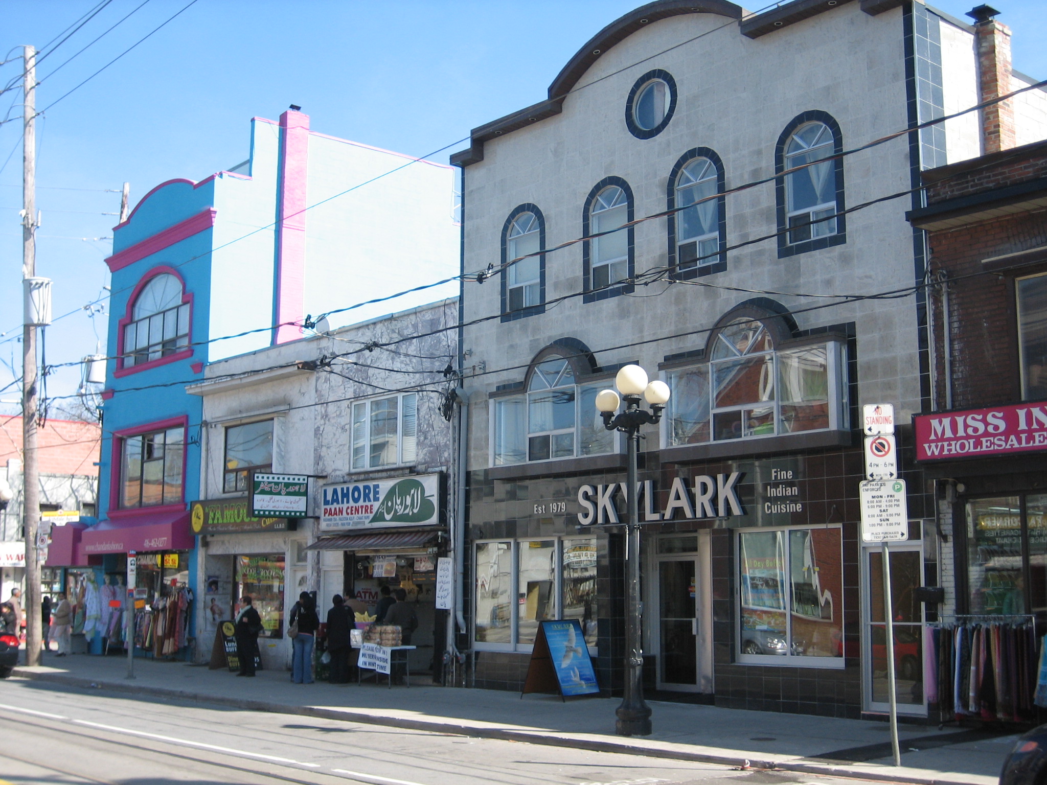
Gerrard Street dans le quartier de Little India
Gerrard Street est une rue de la ville de Toronto, en Ontario, au Canada. Orientée d'Est en Ouest, elle est divisée en deux parties disjointes, l'une à l'Ouest joignant University Avenue à Coxwell Avenue sur 6 kilomètres, et l'autre, 300 mètres plus au nord, joignant Coxwell Avenue à Clonmore Avenue sur 4 km. La partie nord de la rue est généralement dénommée Upper Gerrard, tandis que la partie sud est nommée Lower Gerrard.
A proximité de University Avenue, la rue comporte un certain nombre d'établissements hospitaliers tels que le Toronto General Hospital, le Mount Sinai Hospital, le Princess Margaret Hospital, le Toronto Rehab et le Hospital for Sick Children.
43° 39′ 52″ N 79° 21′ 24″ W / 43.6644, -79.3566
Wikimedia Foundation.
2010.
Contenu soumis à la licence CC-BY-SA. Source : Article Gerrard Street (Toronto) de Wikipédia en français (auteurs)
Regardez d'autres dictionnaires:
Gerrard Street (Toronto) — Gerrard Street is a street in Toronto, Ontario, Canada. It consists of two separate parts, one running east from University Avenue for 6 km to Coxwell Avenue, and the other starting 300 m north along Coxwell and continuing east for another 4 km… … Wikipedia
Gerrard Street — Cette page d’homonymie répertorie les différents sujets et articles partageant un même nom. Plusieurs rues portent le nom de Gerrard Street à travers le monde, parmi lesquelles : Gerrard Street (Londres), une rue traversant les quartiers de… … Wikipédia en Français
Gerrard Street — There are several streets called Gerrard Street, including:*Gerrard Street in the Chinatown area of London, England. *Gerrard Street in Toronto, Canada … Wikipedia
Parliament Street (Toronto) — Parliament Street is a north south street in the eastern part of downtown Toronto, Ontario, Canada. The street runs from Bloor Street to Queens Quay and is the first major street west of the Don River.HistoryThe street is named for the third… … Wikipedia
College Street (Toronto) — College Street Route information Maintained by City of Toronto Major junctions … Wikipedia
Toronto—Danforth — Infobox Canada electoral district province = Ontario caption = Toronto Danforth in relation to the other Toronto ridings fed status = active fed district number = 35094 fed created = 1976 fed abolished = fed election first = 1979 fed election… … Wikipedia
Toronto Baptist Seminary and Bible College — Infobox University name = Toronto Baptist Seminary and Bible College motto = Theological education that transforms XATA Xpieton image caption = established = 1927 type = Theological college president = Dr. G. Thompson principal = Kirk Wellum city … Wikipedia
Toronto General Hospital — Infobox Hospital Name = PAGENAME Org/Group = University Health Network Caption = Toronto General Hospital from the northwest (College Street and University Avenue). Location = Region = Toronto State = Ontario Country = Canada HealthCare =… … Wikipedia
List of east–west roads in Toronto — The following is a list of the east–west arterial thoroughfares in the Canadian city of Toronto. The city is organized in a grid pattern dating back to the plan laid out by Augustus Jones between 1793 and 1797. Most streets are aligned in the… … Wikipedia
Toronto subway and RT — A T series train at Sheppard–Yonge station on the Sheppard line … Wikipedia