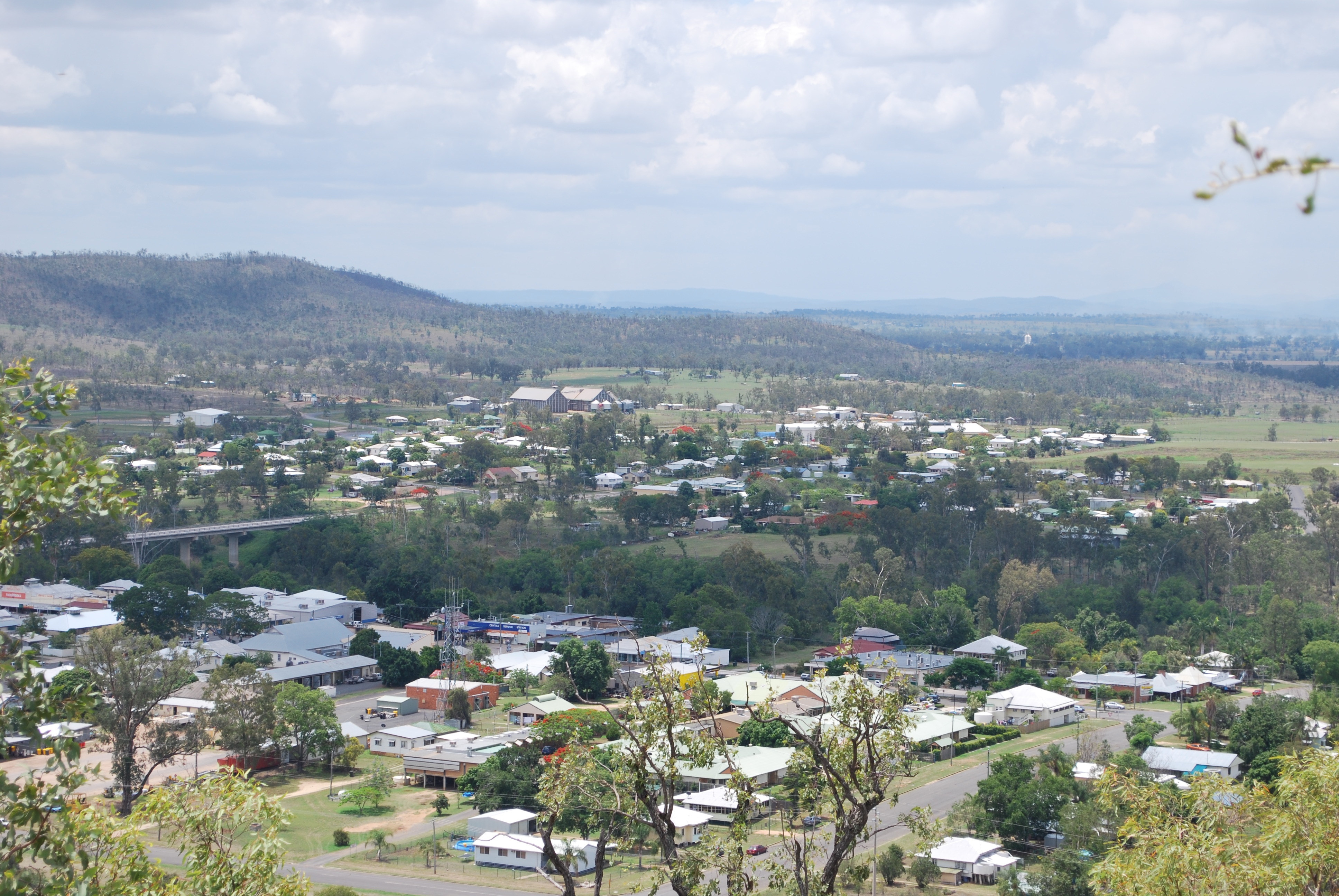
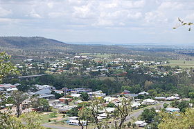
Gayndah
Contenu soumis à la licence CC-BY-SA. Source : Article Gayndah de Wikipédia en français (auteurs)
Regardez d'autres dictionnaires:
Gayndah — Staat … Deutsch Wikipedia
Gayndah — Original name in latin Gayndah Name in other language GAH, Gayndah State code AU Continent/City Australia/Brisbane longitude 25.62522 latitude 151.61144 altitude 109 Population 1745 Date 2012 02 28 … Cities with a population over 1000 database
Gayndah, Queensland — Infobox Australian Place | type = town name = Gayndah state = qld caption = The Big Orange, south of the town centre on the Burnett Highway lga = North Burnett Regional Council postcode = 4625 pop = 1,745 pop footnotes = est = 1849 elevation= 106 … Wikipedia
Gayndah — /ˈgeɪndə/ (say gaynduh) noun a town and shire in south eastern Qld, on the Burnett River; citrus fruits, peanuts and grain are grown here …
Shire of Gayndah — Infobox Australian Place | type = lga name = Shire of Gayndah state = qld imagesize= 135 caption = Location within Queensland pop = 2,911 pop footnotes = (2006 census) [Census 2006 AUS | id = LGA33300 | name = Gayndah (S) (Local Government Area)… … Wikipedia
Comté de Gayndah — 25°37′29.53″S 151°36′28.53″E / 25.6248694, 151.607925 … Wikipédia en Français
Gaypak — Gayndah Packers Co operative Association Limited (the Co operative), Gaypak, was established in 1970 under the Queensland Primary Producers Co operative Association Act of 1923. This Act was replaced in 1997 with Co operatives Act: 1997, in order … Wikipedia
North Burnett Region — Queensland Location in Queensland Population … Wikipedia
Mungar Junction to Monto Branch Railway — The Mungar Junction to Monto Branch Railway is in Queensland, Australia. Having lost out to Bundaberg for a rail link to Mount Perry, Maryborough turned the tables by securing a link to the Central and Upper Burnett districts of Queensland, where … Wikipedia
Mundubbera — Queensland Lyons St in Mundubbera … Wikipedia
 Gayndah
 Australie
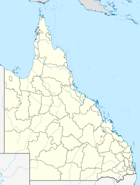
 Gayndah