- Farm Loop (Alaska)
-
Farm Loop Administration Pays  États-Unis
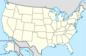
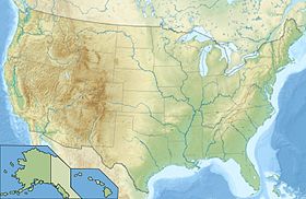
État  Alaska
Borough Borough de Matanuska-Susitna Code FIPS 02-25000 Démographie Population (2000) 1 067 hab. Densité 47 hab./km² Géographie Coordonnées Superficie totale 22,9 km2 · dont terre 22,9 km2 (100 %) · dont eau 0 km2 (0 %) Fuseau horaire AKST (UTC-9) 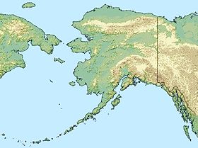

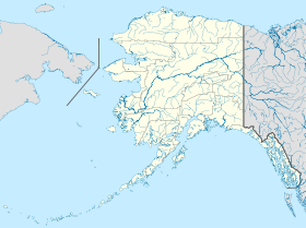

Farm Loop est une ville d'Alaska aux États-Unis dans le Borough de Matanuska-Susitna. Elle fait partie de la zone statistique métropolitaine d'Anchorage et avait une population de 1067 habitants en 2000.Elle est située à 42 milles (68 km) d'Anchorage dans la vallée Matanuska, à l'écart de la Glenn Highway au nord de Palmer. Les températures moyennes y sont de 4 degrés Fahrenheit (-16 °C) à 21 degrés Fahrenheit (-6 °C) en janvier et de 44 degrés Fahrenheit (7 °C) à 67 degrés Fahrenheit (19 °C) en juillet.
La plupart des habitants travaillent à Palmer, Anchorage ou Wasilla.
Article connexe
Sources et références
- (en)CIS
- (en) Cet article est partiellement ou en totalité issu de l’article de Wikipédia en anglais intitulé « Farm Loop, Alaska » (voir la liste des auteurs)
Catégories :- Ville de l'Alaska
- Borough de Matanuska-Susitna


Wikimedia Foundation. 2010.