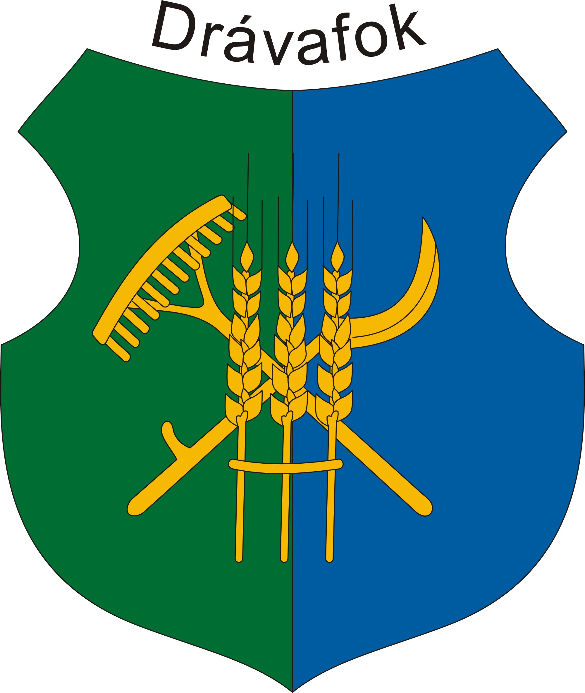
Drávafok
- Drávafok
-
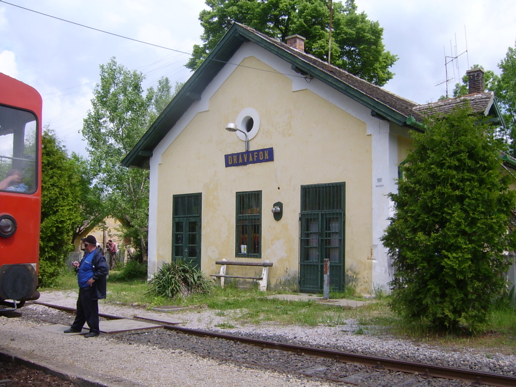
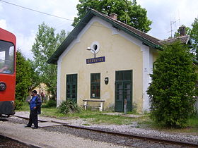
Drávafok est un village et une commune du comitat de Baranya en Hongrie.
Géographie
Cette section est vide, insuffisamment détaillée ou incomplète.
Votre aide est la bienvenue !
Histoire
Cette section est vide, insuffisamment détaillée ou incomplète.
Votre aide est la bienvenue !
Catégorie :
- Ville et village du comitat de Baranya
Wikimedia Foundation.
2010.
Contenu soumis à la licence CC-BY-SA. Source : Article Drávafok de Wikipédia en français (auteurs)
Regardez d'autres dictionnaires:
Drávafok — Village Country Hungary County Baranya … Wikipedia
Baranya County — Infobox Hungarian county name =Baranya region =Southern Transdanubia seat = Pécs area = 4430 population = 396,600 density = 89 cities = 301Baranya (Croatian: Baranja , Serbian: Барања, Baranja , German: Branau ) is the name of an administrative… … Wikipedia
Mohács — Mohač/Mohatsch Aerial view … Wikipedia
Ottrau — Ottrau … Wikipedia
Ottrau — Wappen Deutschlandkarte … Deutsch Wikipedia
Baranya — Blason du Comitat Carte du comitat … Wikipédia en Français
Pécs — Pour les articles homonymes, voir PEC. Pécs Héraldique … Wikipédia en Français
Шелльеский район — венг. Sellyei kistérség Страна Венгрия Статус Район (kistérség) … Википедия
List of populated places in Hungary — This is a list of cities, towns and villages of Hungary Contents 1 A, Á 2 B 3 C … Wikipedia
Csarnóta — Village Country Hungary County Baranya … Wikipedia

 Hongrie


 Drávafok