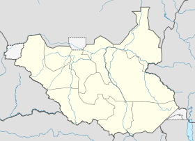
Deim Zubeir
Contenu soumis à la licence CC-BY-SA. Source : Article Deim Zubeir de Wikipédia en français (auteurs)
Regardez d'autres dictionnaires:
Deim Zubeir — Deim Zubeir … Wikipedia
Deim Zubeir — 7.714166666666726.194444444444 Koordinaten: 7° 43′ N, 26° 12′ O … Deutsch Wikipedia
List of Sudan-related topics — This is a list of topics related to Sudan. Those interested in the subject can monitor changes to the pages by clicking on Related changes in the sidebar.udan* SudanBuildings and structures in SudanArchaeological sites in Sudan* H.U.N.E. * Nubian … Wikipedia
Western Bahr el Ghazal — Basisdaten Staat Südsudan … Deutsch Wikipedia
Bahr el Ghazal occidental — 7° 53′ 00″ N 25° 52′ 00″ E / 7.88333333, 25.86666667 … Wikipédia en Français
Bistum Wau — Basisdaten Staat Südsudan Kirchenprovinz Juba Metropolitanbistum … Deutsch Wikipedia
Counties of South Sudan — South Sudan This article is part of the series: Politics and government of South Sudan Constitution (history) … Wikipedia
Raja (Südsudan) — 8.465833333333325.679722222222 Koordinaten: 8° 28′ N, 25° 41′ O … Deutsch Wikipedia
 Soudan du Sud
