- Dahlonega
-
Dahlonega 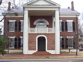
Administration Pays  États-Unis
État  Géorgie
Comté Lumpkin Site Web [ Consulter] Historique Démographie Population (2000) 3 638 hab. Densité 219,2 hab./km2 Géographie Coordonnées Superficie 16,6 km2 Fuseau horaire EST (UTC-5) 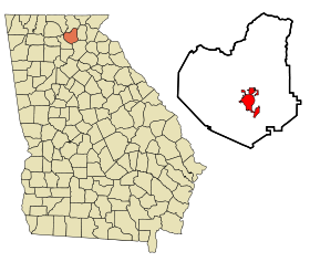
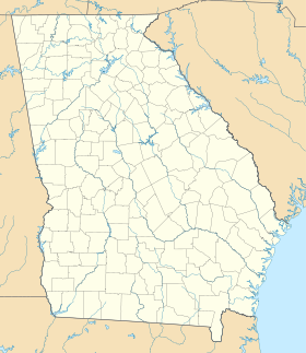


Dahlonega est une ville de Géorgie, aux États-Unis. Il s'agit du siège du comté de Lumpkin.
Histoire
Dahlonega est une petite ville dans le comté de Lumpkin, sur la façade ouest des Appalaches, en Géorgie, l'une des plus anciennes régions de mines d'or des États-Unis[1]. La ville est voisine d'Auraria, site d'exploitation aurifère découvert en 1827[2].
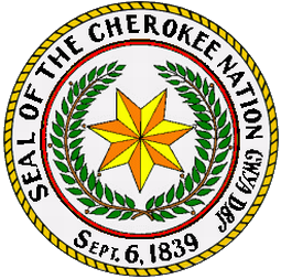
La découverte est revendiquée par Benjamin Parks, mais les premières mines n'ouvrent vraiment qu'en 1829 et l'afflux de colons s'est matérialisé à l'automne 1829[3]. Licklog, siège du comté, est alors rebaptisé en 1833 « Dahlonega », du terme cherokee tahlonega, qui veut dire doré. Un hôtel des monnaies s'y installe en 1830 et frappe 100 000 dollars d'or dès la première année et jusqu'à sa fermeture en 1861, produit 1,5 million de pièces d'or pour une valeur faciale de 6 millions de dollars[4].
Voir aussi
Notes et références
- Central City and Gilpin County: Then and Now Par Robert L. Brown, page 4
- http://dlg.galileo.usg.edu/ugapressbks/pdfs/ugp9780820334974.pdf
- The Georgia Gold Rush: Twenty-Niners, Cherokees, and Gold Fever, par David Williams, page 4
- http://www.georgiaencyclopedia.org/nge/Article.jsp?id=h-785
Catégories :- Comté de Lumpkin
- Municipalité de Géorgie (États-Unis)
- Siège de comté de Géorgie
- Ruée vers l'or


Wikimedia Foundation. 2010.