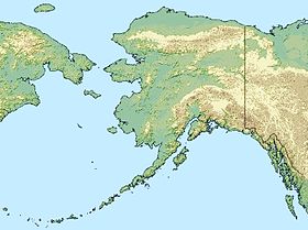
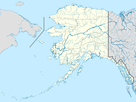
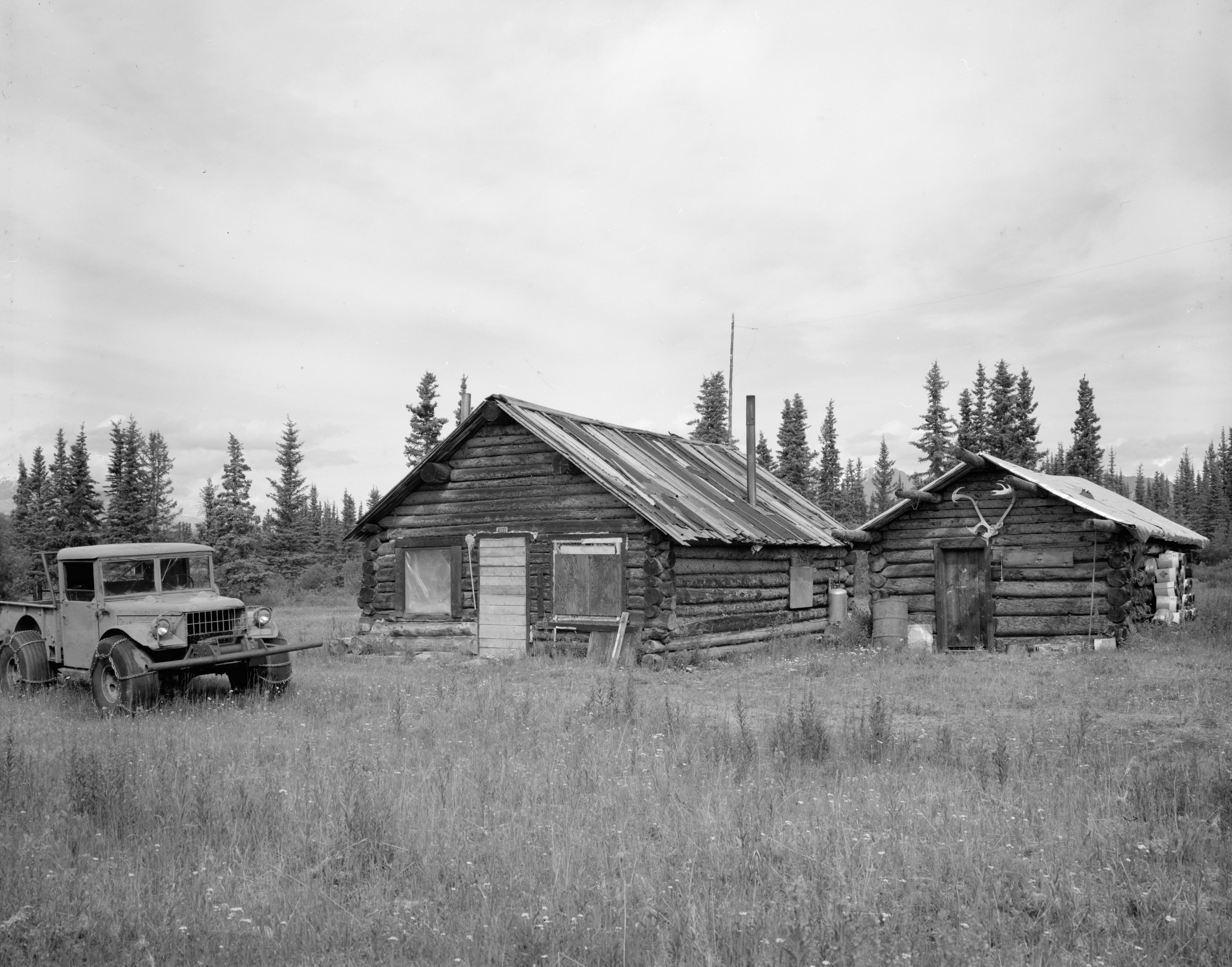
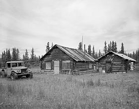
Chisana (Alaska)
Contenu soumis à la licence CC-BY-SA. Source : Article Chisana (Alaska) de Wikipédia en français (auteurs)
Regardez d'autres dictionnaires:
Chisana, Alaska — Chisana Tsetsaan’ Na’ CDP Chisana s post office … Wikipedia
Chisana (Alaska) — Chisana Lugar designado por el censo de los Estados Unidos … Wikipedia Español
Chisana Airport — IATA: CZN – ICAO: none – FAA LID: CZN Summary Airport type Public Owner Alaska DOT PF Northern Region … Wikipedia
Chisana River — Gewässerkennzahl US: 1400326 Lage Southeast Fairbanks Census Area (Alaska, USA) … Deutsch Wikipedia
Chisana — Chisana, AK U.S. Census Designated Place in Alaska Population (2000): 0 Housing Units (2000): 0 Land area (2000): 86.655478 sq. miles (224.436648 sq. km) Water area (2000): 0.086335 sq. miles (0.223607 sq. km) Total area (2000): 86.741813 sq.… … StarDict's U.S. Gazetteer Places
Chisana, AK — U.S. Census Designated Place in Alaska Population (2000): 0 Housing Units (2000): 0 Land area (2000): 86.655478 sq. miles (224.436648 sq. km) Water area (2000): 0.086335 sq. miles (0.223607 sq. km) Total area (2000): 86.741813 sq. miles… … StarDict's U.S. Gazetteer Places
Alaska Range — Geobox|Range name=Alaska Range image caption=Mount McKinley, on a rare clear day etymology= country=United States state=Alaska unit= border=Pacific Coast Ranges geology= | period= | orogeny= length imperial=| length orientation= width imperial= | … Wikipedia
National Register of Historic Places listings in Valdez–Cordova Census Area, Alaska — Location of the Valdez Cordova Census Area in Alaska This is a list of the National Register of Historic Places listings in Valdez Cordova Census Area, Alaska. This is intended to be a complete list of the properties and districts on the National … Wikipedia
National Register of Historic Places listings in Southeast Fairbanks Census Area, Alaska — Location of the Southeast Fairbanks Census Area in Alaska This is a list of the National Register of Historic Places listings in Southeast Fairbanks Census Area, Alaska. This is intended to be a complete list of the properties and districts on… … Wikipedia
Gold mining in Alaska — Gold mining in Alaska, a state of the United States, has been a major industry and impetus for exploration and settlement since a few years after the United States acquired the territory from Russia. Russian explorers discovered placer gold in… … Wikipedia
 États-Unis
 Alaska