Cantagallo (Bolívar)

Cantagallo (Bolívar)

7° 25′ 00″ N 73° 57′ 00″ W / 7.416667, -73.95

Cantagallo
Symboles
Blason de Cantagallo
Drapeau de Cantagallo
Blason
Drapeau
Informations géographiques
Pays Drapeau de Colombie Colombie
Département Flag of Bolívar.svg Bolívar
Coordonnées 7° 25′ 00″ Nord
       73° 57′ 00″ Ouest
/ 7.416667, -73.95
  

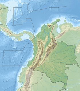
Géolocalisation sur la carte : Colombie (relief)

(Voir situation sur carte : Colombie (relief))
Cantagallo
Informations générales
Superficie 669 km2
Population 7 839 hab. (2005)
Densité 11,7 hab./km2
Gentilé Cantagallense
Alcalde Ramiro Escobar (2010-2011)[1]
Site http://www.cantagallo-bolivar.gov.co
Carte
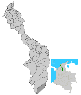
Carte de Cantagallo
Municipalités de Colombie

Cantagallo est une municipalité située dans le département de Bolívar, en Colombie.

Références


Wikimedia Foundation. 2010.

Contenu soumis à la licence CC-BY-SA. Source : Article Cantagallo (Bolívar) de Wikipédia en français (auteurs)

Игры ⚽ Поможем решить контрольную работу

Regardez d'autres dictionnaires:

  • Cantagallo, Bolívar — Cantagallo is a town and municipality located in the Bolívar Department, northern Colombia …   Wikipedia

  • Bolívar Department — Department of Bolívar Departamento de Bolívar   Department   …   Wikipedia

  • Bolívar (Colombia) — Saltar a navegación, búsqueda Para otros usos de este término, véase Bolívar (desambiguación). Bolívar …   Wikipedia Español

  • San Pablo (Bolívar) — Saltar a navegación, búsqueda San Pablo Bandera …   Wikipedia Español

  • Córdoba, Bolívar —   Municipality and town   Location of the municipality and town of Córdoba, Bolívar in the Bolívar Department of Colombia …   Wikipedia

  • Margarita, Bolívar — margaritanos   Municipality and town   Location of the municipality and town of Margarita, Bolívar in the Bolí …   Wikipedia

  • Montecristo, Bolívar —   Municipality and town   Location of the municipality and town of Montecristo, Bolívar in the Bolívar Department of Colombia …   Wikipedia

  • Morales, Bolívar —   Municipality and town   …   Wikipedia

  • El Carmen de Bolívar — 9°43′N 75°08′W / 9.717, 75.133 …   Wikipédia en Français

  • El Carmen de Bolívar — Basisdaten Fläche: 954 km2 Lage …   Deutsch Wikipedia

Share the article and excerpts

Direct link
Do a right-click on the link above
and select “Copy Link”