Bonnybridge
- Bonnybridge
-
Wikimedia Foundation.
2010.
Contenu soumis à la licence CC-BY-SA. Source : Article Bonnybridge de Wikipédia en français (auteurs)
Regardez d'autres dictionnaires:
Bonnybridge — BONNYBRIDGE, a village, in the parish of Falkirk, county of Stirling, 4 miles (W. S. W.) from Falkirk; containing 184 inhabitants. This village is pleasantly situated on the turnpike road to Glasgow, and on the eastern bank of the river Bonny … A Topographical dictionary of Scotland
Bonnybridge — infobox UK place country = Scotland official name= Bonnybridge scots name= Bonniebrig gaelic name= population= 6,870 [cite web|publisher=Scotland s Census Results Online|title =Comparative Population Profile: Bonnybridge Locality | url=http://www … Wikipedia
Bonnybridge — Original name in latin Bonnybridge Name in other language Bonnybridge State code GB Continent/City Europe/London longitude 56.00152 latitude 3.8886 altitude 29 Population 7123 Date 2011 03 03 … Cities with a population over 1000 database
Larbert — infobox UK place country = Scotland official name= Larbert gaelic name= scots name= population= 6,425 (2001 Census) population density= Pop density mi2 to km2|4283|precision=0|abbr=yes|wiki=yes os grid reference= NS8650082500 map type=Scotland… … Wikipedia
List of state schools in Scotland/Council Areas E-H (excluding cities) — The following is a partial list of currently operating state schools in the unitary council areas of East Ayrshire, East Dunbartonshire, East Lothian, East Renfrewshire, Falkirk, Fife and Highland in Scotland, United Kingdom. You may also find of … Wikipedia
Scottish Central Railway — [v · d · … Wikipedia
Denny, Falkirk — Coordinates: 56°01′05″N 3°54′25″W / 56.018°N 3.907°W / 56.018; 3.907 … Wikipedia
Falkirk (Unitary Authority) — Falkirk an Eaglais Bhreac Verwaltungssitz Falkirk Fläche 297 km² (22.) … Deutsch Wikipedia
GB-FAL — Falkirk an Eaglais Bhreac Verwaltungssitz Falkirk Fläche 297 km² (22.) … Deutsch Wikipedia
Falkirk (council area) — infobox Scotland council area Council= Falkirk an Eaglais Bhreac SizeRank= 22nd Size= 297 km² Water= ? AdminHQ= Falkirk ISO= GB FAL ONS= 00QQ PopulationRank= 12th PopulationDate= 2004 Population= 147,460 PopulationDensity=496 / km² CouncilDetails … Wikipedia
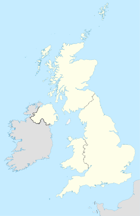
 Royaume-Uni
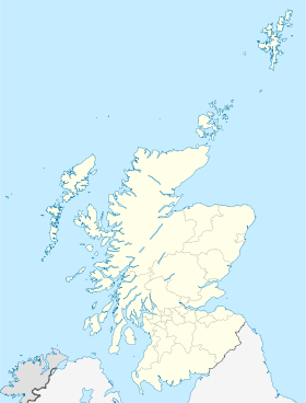
 Bonnybridge