Bodza
- Bodza
-
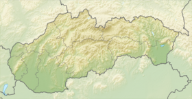
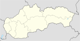
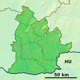
Bodza (hongrois : Bogya)[4] est un village de Slovaquie situé dans la région de Nitra.
Histoire
Première mention écrite du village en 1387.
Notes et références
Catégories :
- Village de Slovaquie
- Village et ville du district de Komárno
Wikimedia Foundation.
2010.
Contenu soumis à la licence CC-BY-SA. Source : Article Bodza de Wikipédia en français (auteurs)
Regardez d'autres dictionnaires:
Bodza — (rumän. Buzau), rechter Nebenfluß des Sereth, entspringt im Bodzaer Gebirge, am Fuß des Csukás (in den Siebenbürgischen Südostkarpathen), wendet sich, den Bodzaer Engpaß durchbrechend, südlich nach Rumänien, wo er bei Serbescivechi in den Sereth… … Meyers Großes Konversations-Lexikon
Bodza — Geobox | Settlement name = Bodza other name = category = Village image caption = Bodza town hall symbol = etymology = official name = motto = nickname = country = Slovakia country state = region = Nitra district = Komárno commune = municipality … Wikipedia
Apartment Bodza — (Tompa,Венгрия) Категория отеля: Адрес: 6422 Tompa, Alsosaskalapos 11 15, Венгрия … Каталог отелей
Dz (digraph) — Dz is a digraph of the Latin alphabet, used in Polish, Kashubian, Macedonian, Slovak, and Hungarian to represent IPA|/d͡z/ (voiced alveolar affricate). In Dene Suline (Chipewyan) and Standard Cantonese Pinyin it represents IPA|/ts/.In Polishdz… … Wikipedia
Liste der Städte und Gemeinden in der Slowakei/A-G — Übersicht A bis G Teil 1 A bis G Teil 2 H bis Ľ Teil 3 M bis R Teil 4 S bis Ž Übersicht A B C Č D Ď E F G A … Deutsch Wikipedia
Liste der Städte und Gemeinden in der Slowakei Teil 1 — Übersicht A bis G Teil 1 A bis G Teil 2 H bis Ľ Teil 3 M bis R Teil 4 S bis Ž Übersicht A B C Č D Ď E F G A … Deutsch Wikipedia
District de Komárno — Komárno / Komárom Informations Pays … Wikipédia en Français
Neoton Família — Sztárjai performing at VOLT Festival, Hungary in 2006 Neoton Família was one of the most successful Hungarian pop bands, spanning several decades, with changes in members and line up. Most active from 1977 to 1989, they released albums and toured … Wikipedia
Nitra Region — Coordinates: 48°18′25″N 18°05′11″E / 48.30694°N 18.08639°E / 48.30694; 18.08639 … Wikipedia
Dedina Mládeže — Coordinates: 47°56′50″N 18°00′00″E / 47.94722°N 18°E / 47.94722; 18 … Wikipedia
 Slovaquie


