Berala
Contenu soumis à la licence CC-BY-SA. Source : Article Berala de Wikipédia en français (auteurs)
Regardez d'autres dictionnaires:
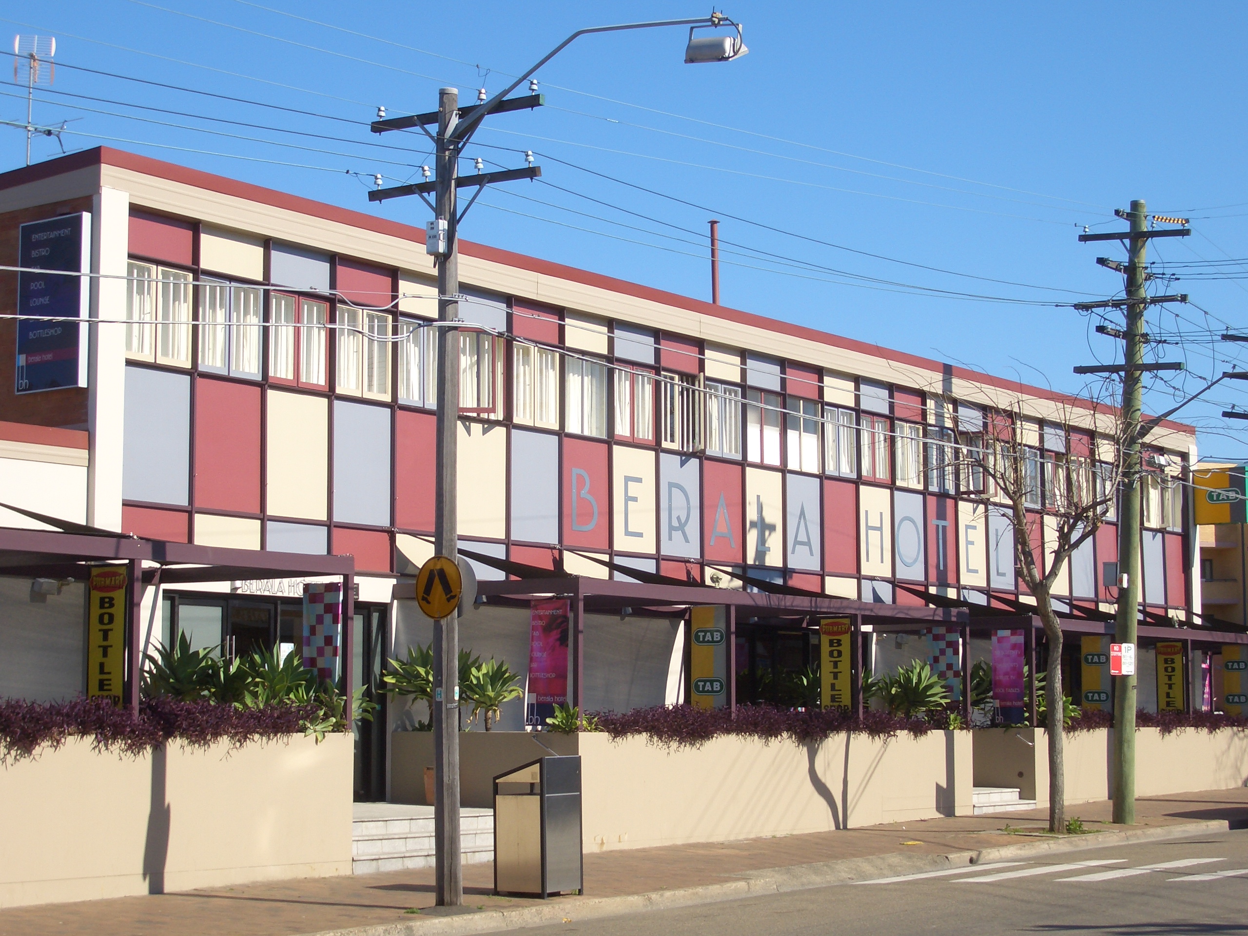
Berala, New South Wales — Infobox Australian Place | type = suburb name = Berala city = Sydney state = nsw caption = Berala Hotel, Woodburn Road lga = Auburn Council postcode = 2141 est = pop = density = area = propval = stategov = Auburn fedgov = Reid near nw = Auburn… … Wikipedia
Berala railway station, Sydney — Cityrail Station alt|station name=Berala|servicearea=Bankstown Line| Bankstown line colour|servicearea textcolor=Black|servicearea2=Inner West Line|servicearea color2=#Inner West line colour|servicearea… … Wikipedia
Regents Park, New South Wales — Alternate uses: Regents Park (disambiguation) Infobox Australian Place | type = suburb name = Regents Park city = Sydney state = nsw caption = Regents Park Amenity Centre lga = Auburn Council postcode = 2143 est = pop = density = area = propval … Wikipedia
Lidcombe, New South Wales — Infobox Australian Place | type = suburb name = Lidcombe city = Sydney state = nsw caption = Lidcombe Post Office lga = Auburn Council postcode = 2141 est = pop = density = area = propval = $ 450,000 stategov = Auburn fedgov = Reid near nw =… … Wikipedia
Veolia Transport NSW — Public transport operators in Sydney logo= name=Veolia Transport transport mode=Commuter bus Light rail Monorail operation area=Municipality of Auburn City of Bankstown Municipality of Burwood City of Fairfield City of Hurstville City of Holroyd… … Wikipedia
Railway accidents in New South Wales — The railways of New South Wales, Australia have had several incidents and accidents since their formation in 1831.Accidents involving loss of lifeLocomotive No.1, 1858This locomotive, built in 1855 by Robert Stephenson with three others for the… … Wikipedia
List of Government schools in New South Wales: A–F — The New South Wales Department of Education and Training (DET) is a department of the Government of New South Wales. In addition to other responsibilities, it operates primary schools and secondary schools throughout the state. Contents 1 A 2 B 3 … Wikipedia
Conseil d'Auburn — 33° 51′ 00″ S 151° 02′ 00″ E / 33.85, 151.033333 … Wikipédia en Français
Regents Park — Centre de loisirs Administration Pays … Wikipédia en Français
perle — (pèr l ) s. f. 1° Globule d un blanc argentin qui se forme dans certaines coquilles ; c est dans le mollusque même, ou au moins sous son manteau, que se forment les perles par une surabondance de la matière nacrée destinée à revêtir l intérieur … Dictionnaire de la Langue Française d'Émile Littré
 Hôtel Berala, Woodburn Road
 Australie
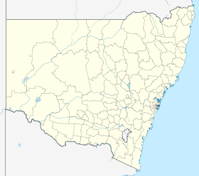
 Berala